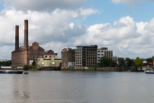
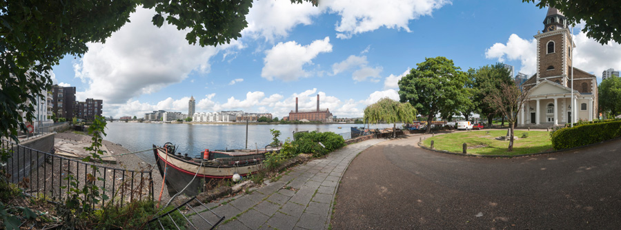
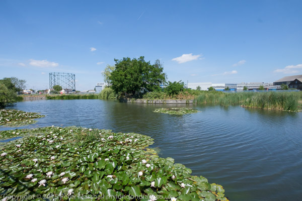
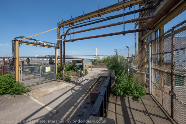
More City Panoramas: I spent several days wandering around the City of London – the “Square Mile” in July and August 1994, I think in prepaation for a group show in which I had decided this would be my contribution.
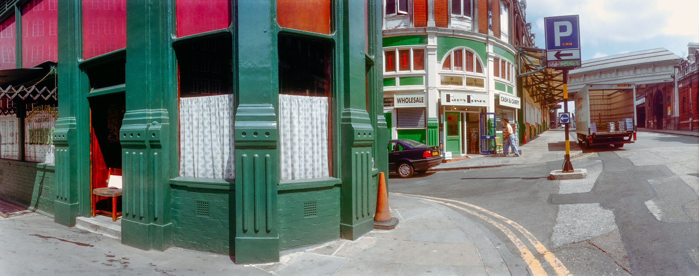
Bubb’s Le Restaurant Francais with the address Central Market, Farringdon Street is long closed, but a listing states that they served “a variety of traditional French dishes at their restaurant and can cater for private parties of up to 30 guests upon request.” There are still several French restaurants in the area.
A little further down West Smithfield was the London Central Market with on the corner a wholesale Cash and Carry and Harry’s Drinks and in the distance a covered way across the road between market buildings.
I photographed this corner on several occasions, making a similar panorama here in 1992, perhaps why I have not put this on Flickr.
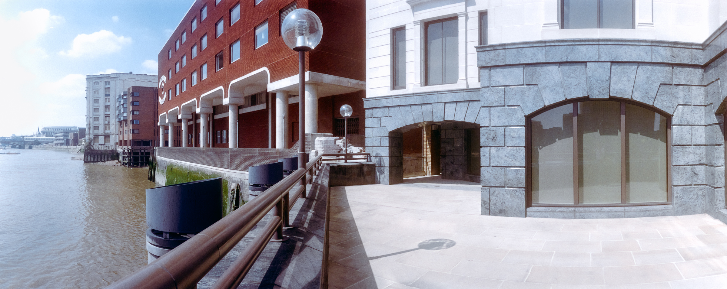
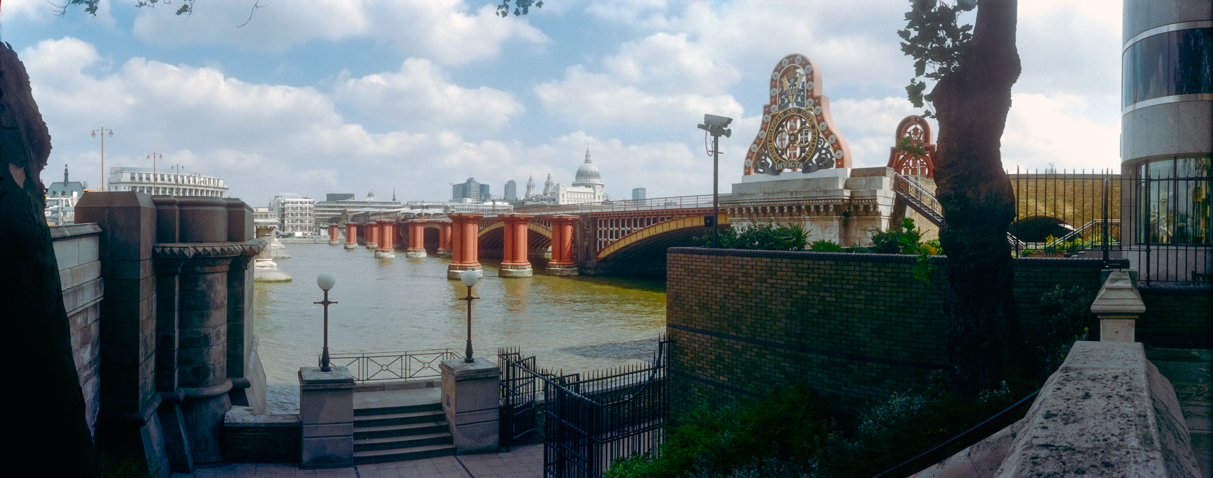
Looking west along the river to Bull Wharf, Queenhithe and beyond. Bull Wharf proudly states it was REBUILT 1980 and it looks to me exceedingly ugly, probably why I didn’t upload this picture to Flickr. My picture perhaps makes the red brickwork event more virulent – the building looks much better to me in a black and white non-panoramic image I made at the same time from more or less the same spot.

Slightly out of focus in the distance I can just make out Lady Justice on the roof of the Old Bailey and to her right more clearly the tower of Holy Sepulchre Church at the east end of Holborn Viaduct.
I think this car park probably extended to Hosier Lane and is now filled with the shops and offices of 12 Smithfield Street, built in 2004 and now described on Buildington as “an outdated office block that has suffered from poor environmental performance, limited architectural merit, and inefficient servicing. Its ground floor lacks engagement with the surrounding public realm, and its dated façade no longer reflects the character of the conservation area” and being refurbished and extended.

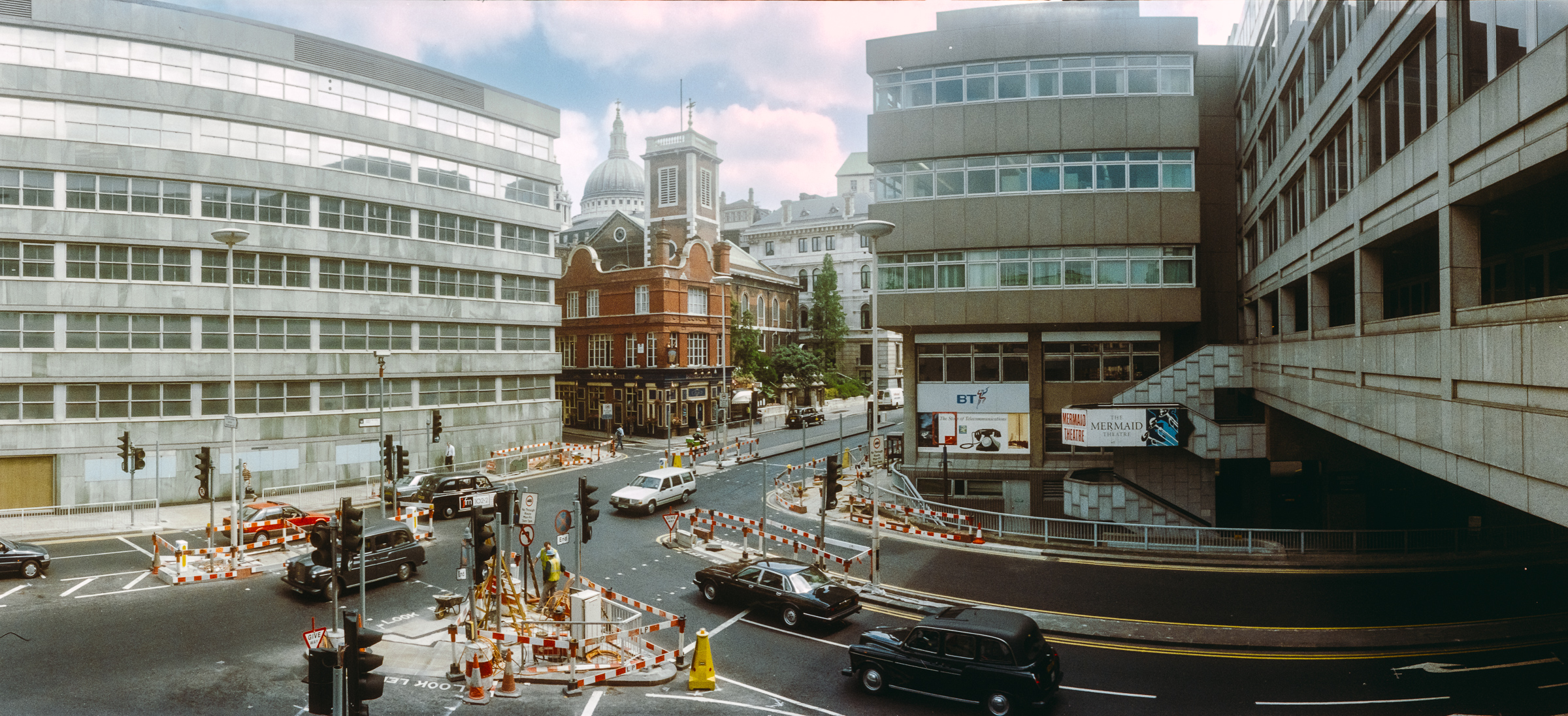
A rather dark rendering of this high contrast scene with deep shadow the block of St Paul’s Vista (or 1 High Timber St, now One Millennium Bridge) straddles Upper Thames Street with the bright sky above. My picture was made from the footbridge of Fye Foot Lane carrying a section of the CIty’s Highwalk across Upper Thames Street and Castle Baynard Street and on to Queen Victoria Street.
St Mary Somerset Church was one of those destroyed in the Great Fire of London in 1666 and like 50 others rebuilt by the office of Sir Christopher Wren. The tower remains between Lambeth Hill and Castle Baynard Street but the rest of the church was demolished in 1871 when like other redundant churches the land was sold to build churches in the rapidly expanding suburbs of London. The tower was a Ladies toilet before the Second World War, Damaged by bombing, it was restored by the city in 1956 and has now been converted into a private residence.
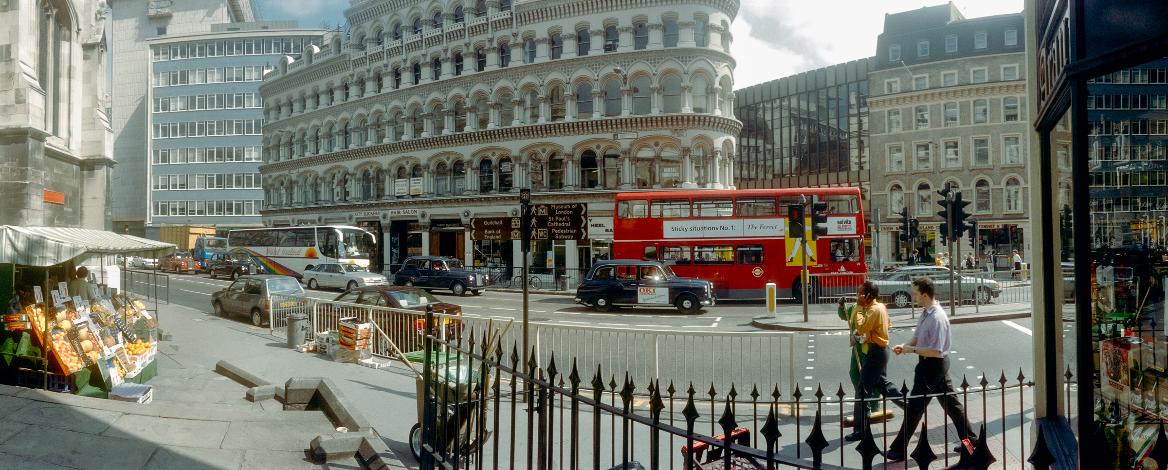
A fruit and vegetable stall on the pavement in Front of St Mary Aldermary (another rebuilt by Wren after the Great Fire) on busy Queen Victoria Street which you can see at extreme left. I think the extremely low stone wall on the pavement and the railings mark the former edge of its churchyard.
I liked the range of architectural age and style across the upper half of this image, and particularly admired the ornate Victorian block in the centre of the picture. As well as a bus and a coach there are 5 London taxis in the picture, an aspect of London’s traffic congestion long overdue for reform.

This was taken from a now-closed section of Highwalk across Upper Thames Street and the church at left is St Mary Somerset. The alley at right is Huggin Hill with a view of the distinctive building on the block between Queen Victoria St, Bread Lane and Cannon Street, 30 Cannon St built for Crédit Lyonnais between 1974 and 1977.

So many buildings have changed around here since 1994. The building right of centre is Standard Chartered on the corner of Aldermanbury and Aldermanbury Square and was remodelled around 2010 and the building left of centre is Brewer’s Hall, now with a roof extension. I think this section of the highwalk led up at Brewers Hall Gardens
More from July 1994 in the City later.
Flickr – Facebook – My London Diary – Hull Photos – Lea Valley – Paris
London’s Industrial Heritage – London Photos
All photographs on this page are copyright © Peter Marshall.
Contact me to buy prints or licence to reproduce.