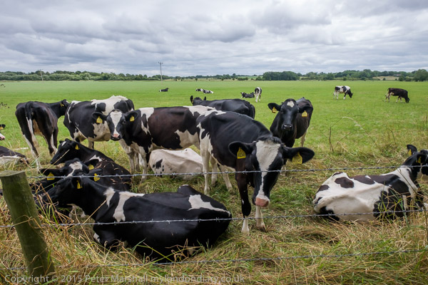
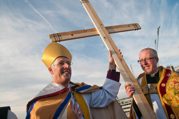
Reparations, North Woolwich & LouLou’s: Thursday 1st August 2019 was a long and busy day for me with an Afrikan Emancipation Day protest, finishing a walk in North Woolwich I’d begun six months earlier and photographing an evening protest outside the exclusive Mayfair club LouLou’s.
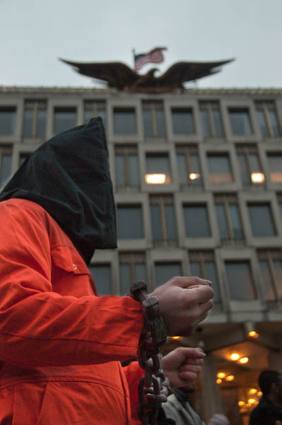
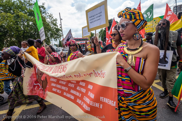
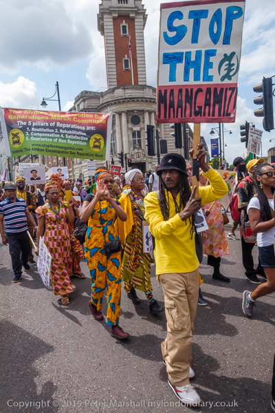
Afrikans demand reparations – Brixton, London.
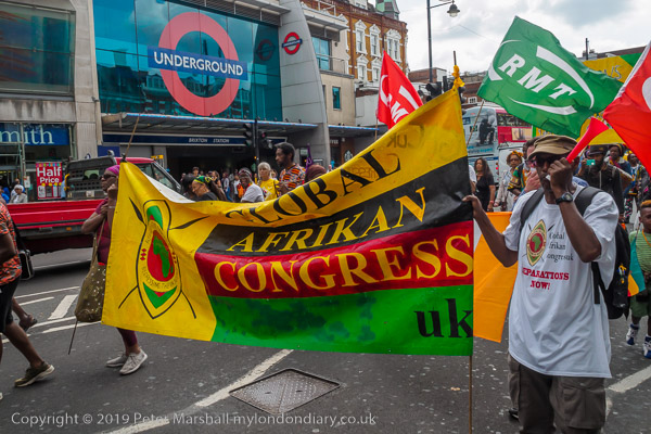
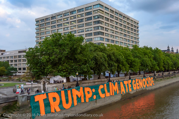
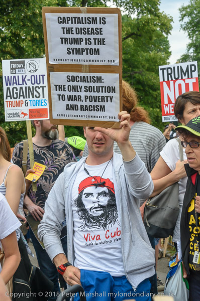
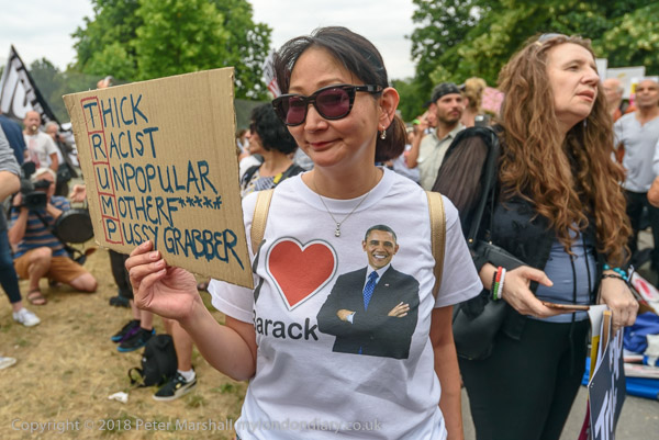
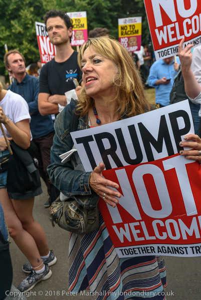
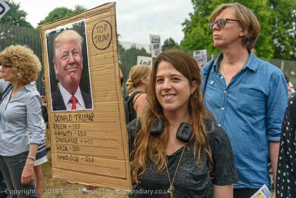
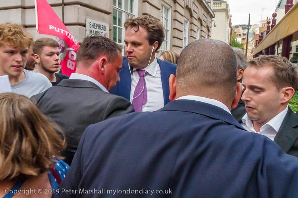
People of African origin met in Windrush Square in the morning to demand an end of the Maangamizi, the continuing genocide and ecocide of African peoples and Africa on Afrikan Emancipation Day.
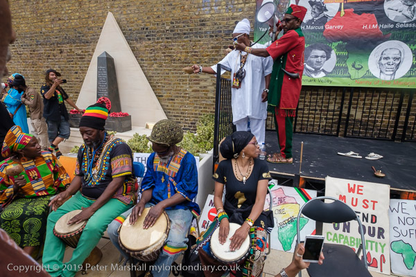
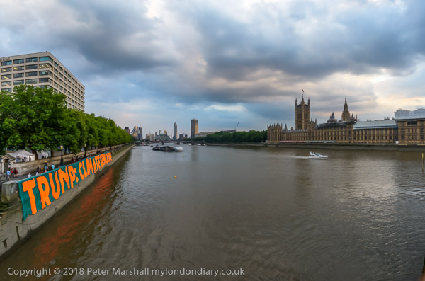
After speeches & libations they marched from Brixton to Westminster with a petition calling for an end to acts of violence by Britain, the misuse of taxes and the stolen legacy plundered from Afrika under the British Empire and European Imperialism and demanding reparations.
The protest was supported by Extinction Rebellion XR Connecting Communities who marched in an Ubuntu Non-Afrikan Allies bloc.
I left the march as it went past Brixton Police Station on its way to protest outside the Houses of Parliament so I could have some lunch before going to take pictures elsewhere.
Many more pictures on My London Diary at Afrikans demand reparations.
DLR – Bank to North Woolwich
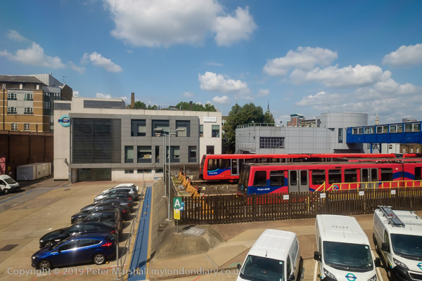
I’d taken the tube back into central London to have a quick lunch before taking the DLR from Bank to London City to King George V Dock station for the final section of the walk I had begun in February but had run out of time to finish because I’d had to take a roundabout route to get there as the direct DLR services were suspended following an accident.
This time the trains were running properly. They start from Bank and so come into the station empty and I was able to chose my seat and for once I found myself sitting next to a clean window on my way to North Woolwich and took a number of pictures.
Later on my way back to Canary Wharf from King George V I was less lucky and the windows were rather grimy, but I still made a few images.
More at DLR – Bank to London City Airport.
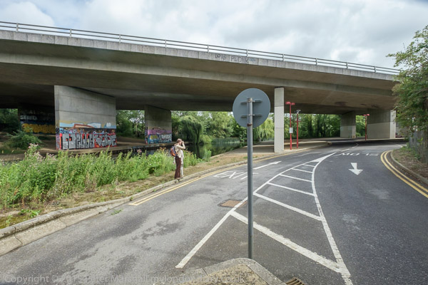
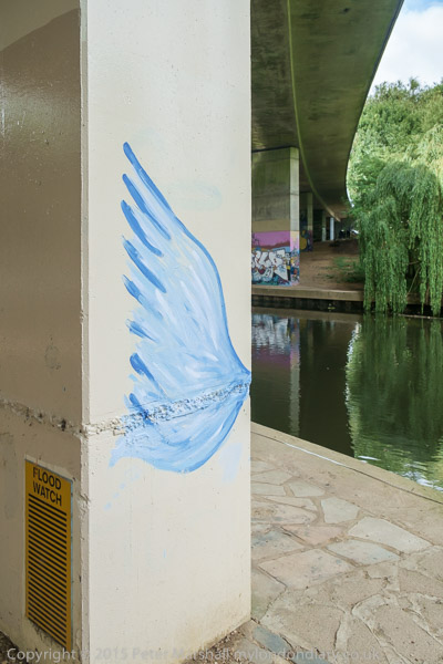
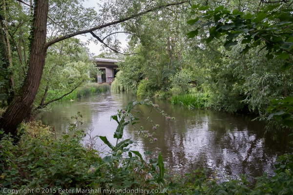
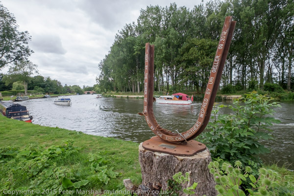
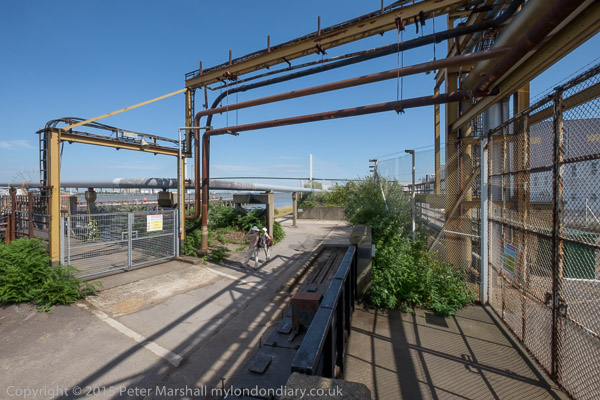
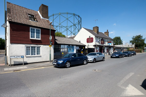
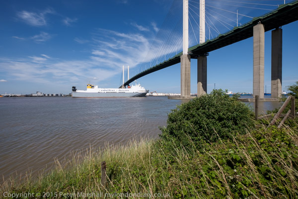
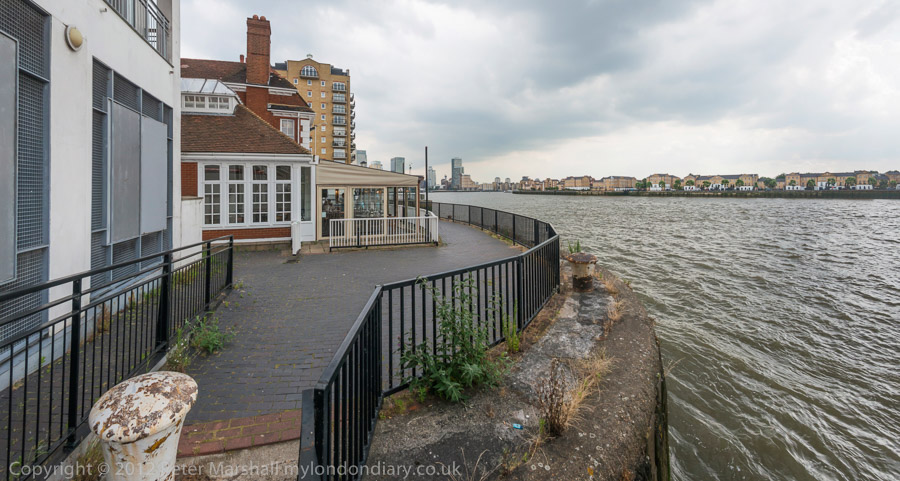
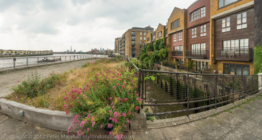
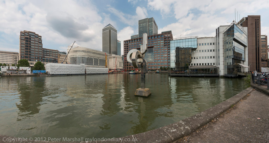
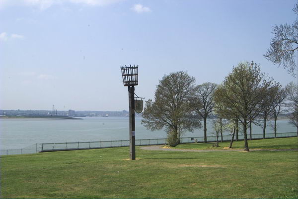
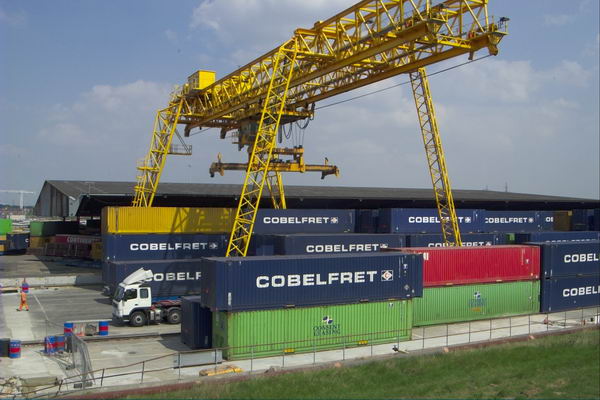
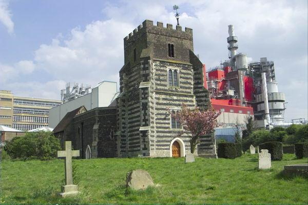
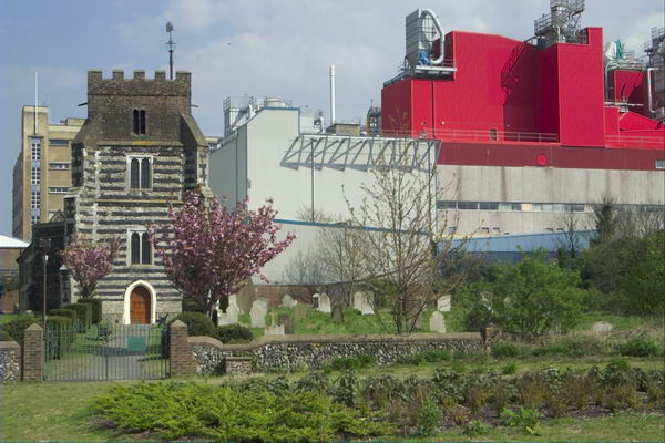
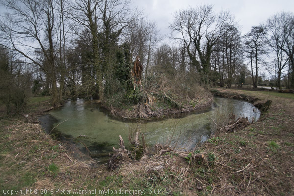
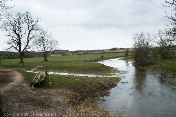
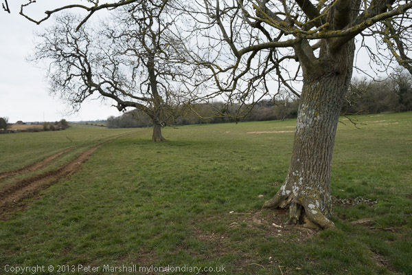
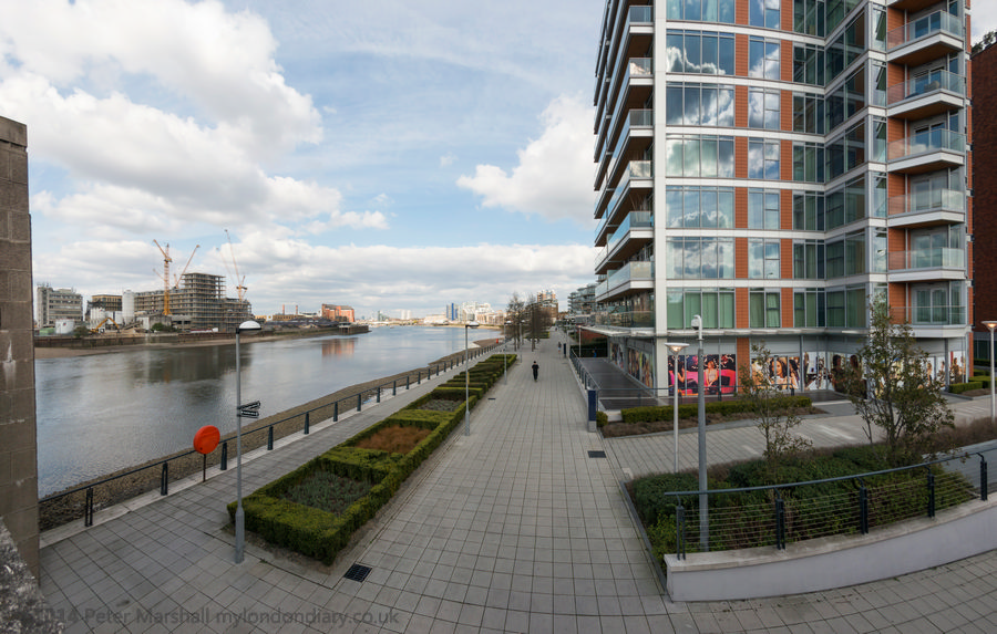
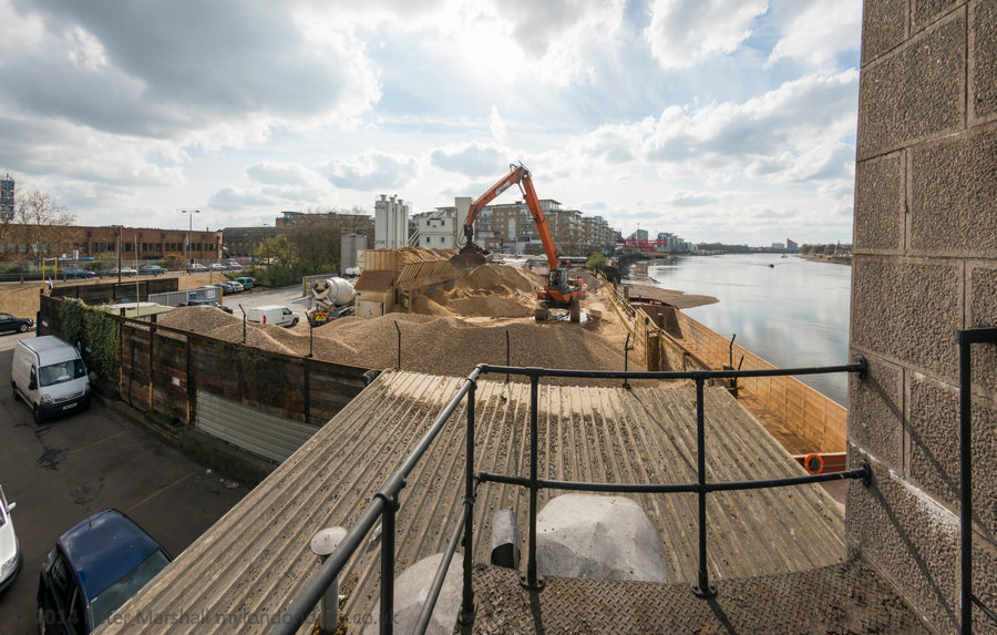
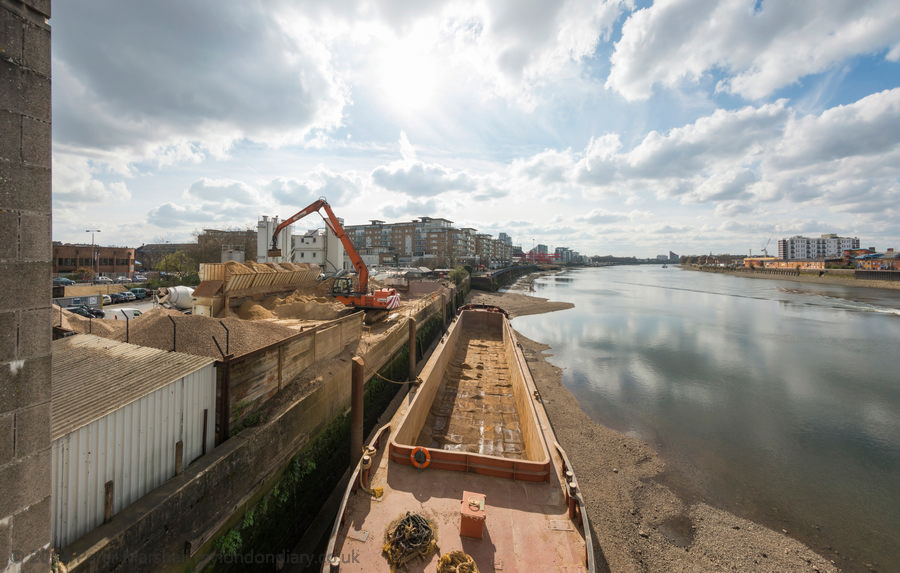
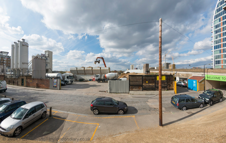
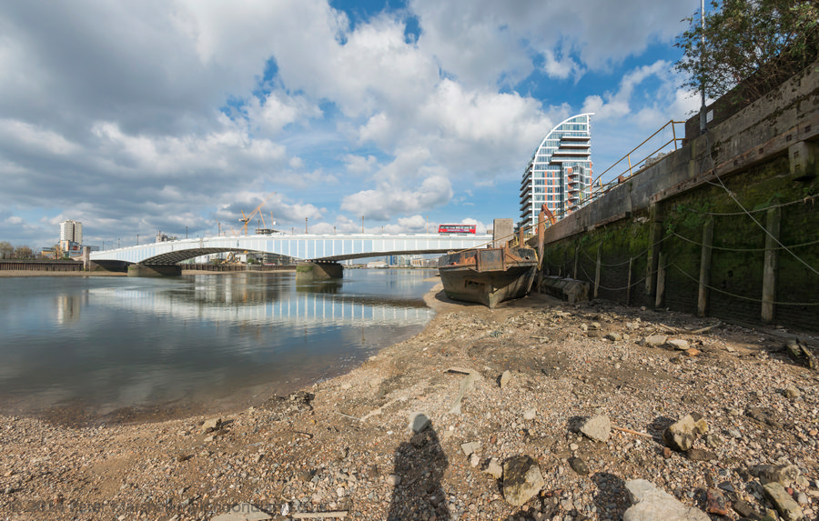
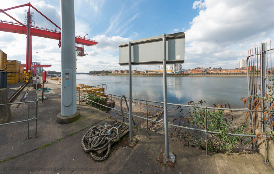
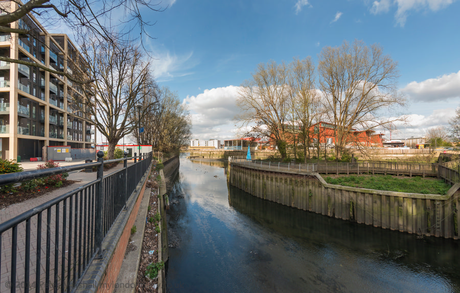
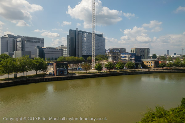
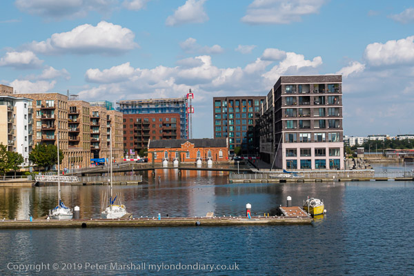
North Woolwich, Royal Docks & the Thames
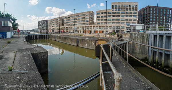
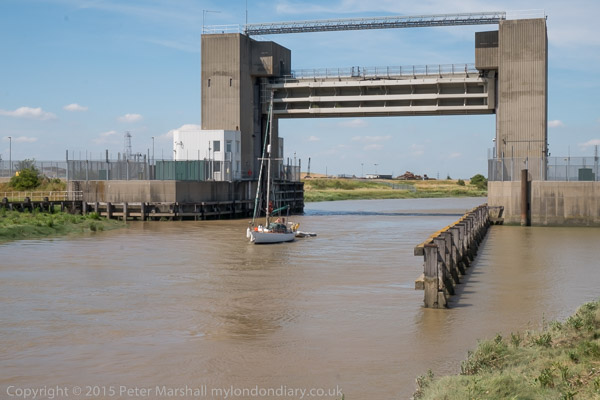
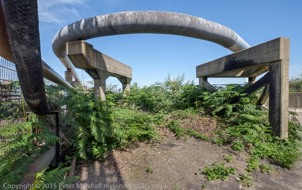
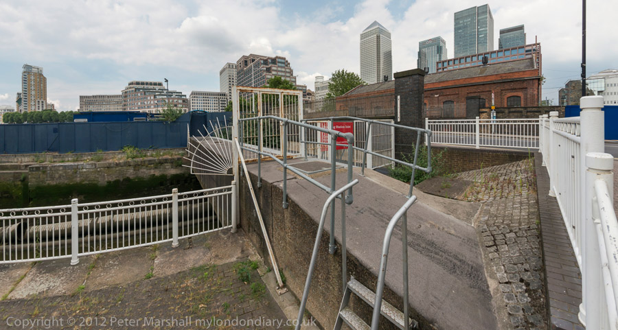
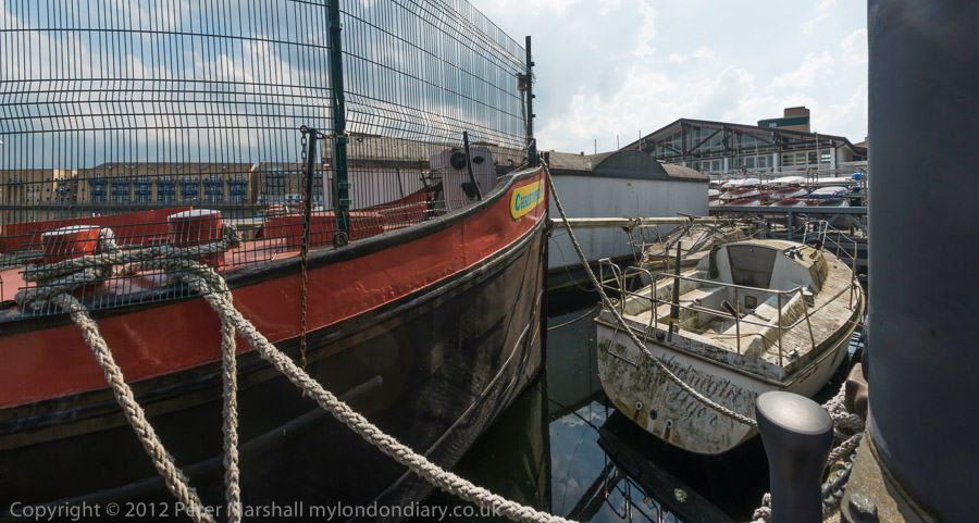
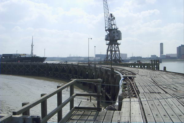
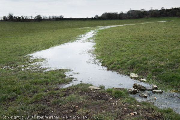
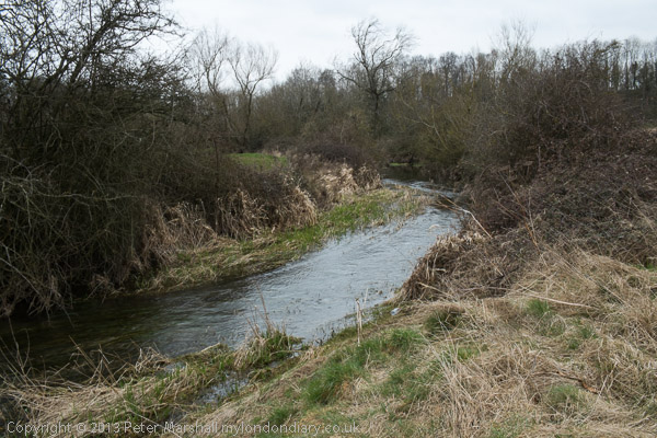
I took a few pictures as I walked from the elevated King George V station at North Woolwich to the King George V Dock entrance and joined the path by the river.
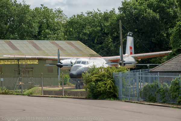
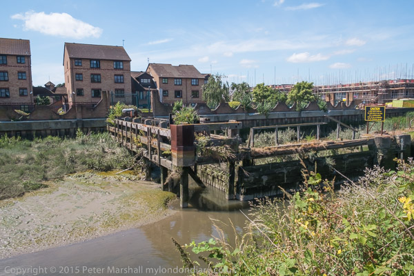
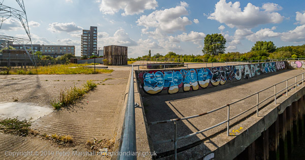
The lock here is huge, 243.8m long and 30.48m wide. I’d first photographed the area back in the 1980s as a part of a wider project on the Docklands following their closure, both in colour but mainly in black and white – in the album 1984 London Photographs. Although the docks themselves remain, much around them has changed, although there are still some derelict areas.
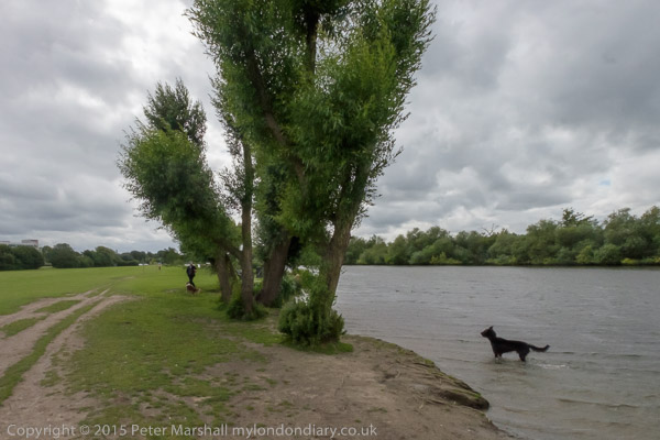
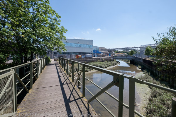
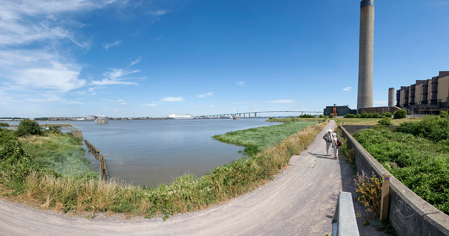
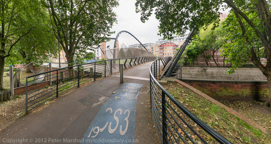
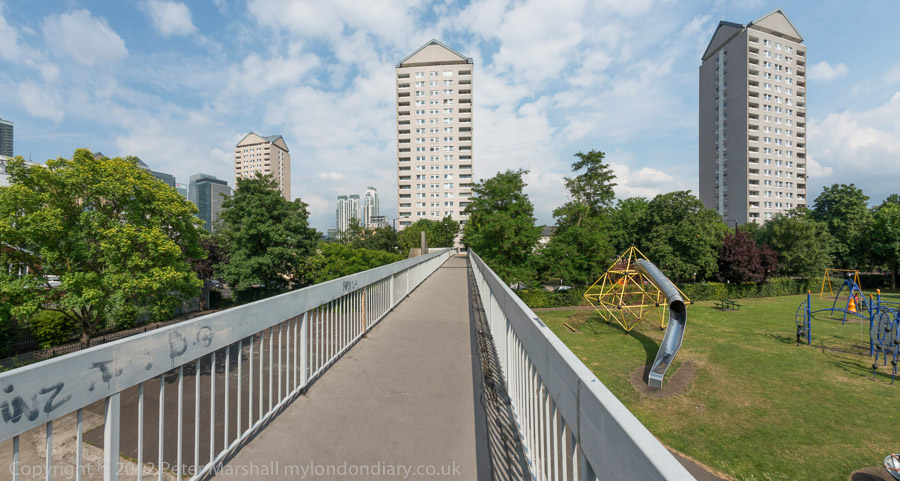
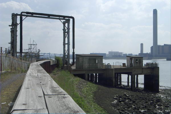
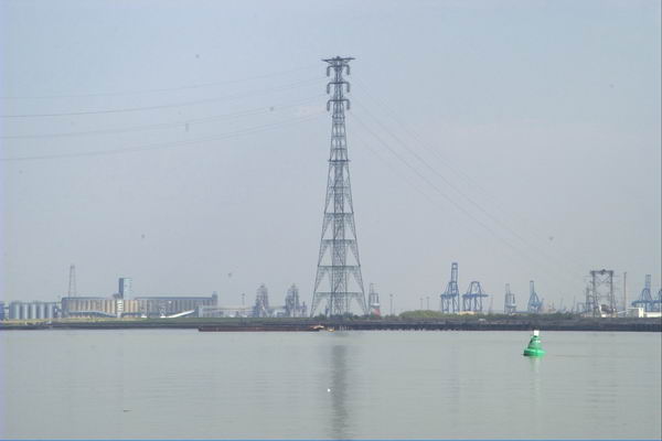
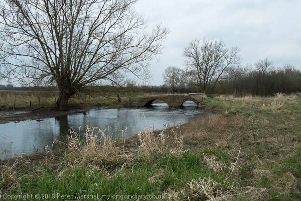
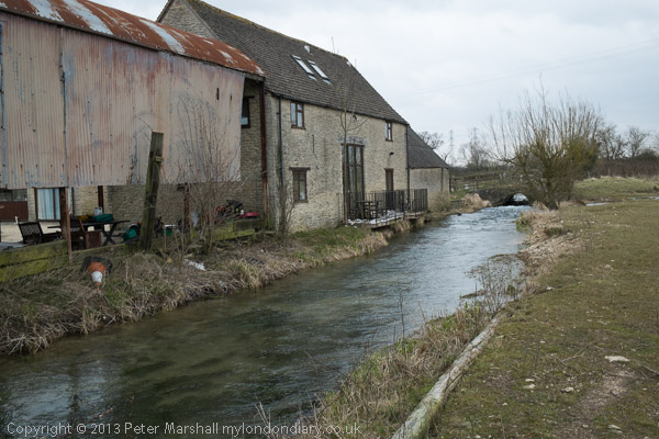
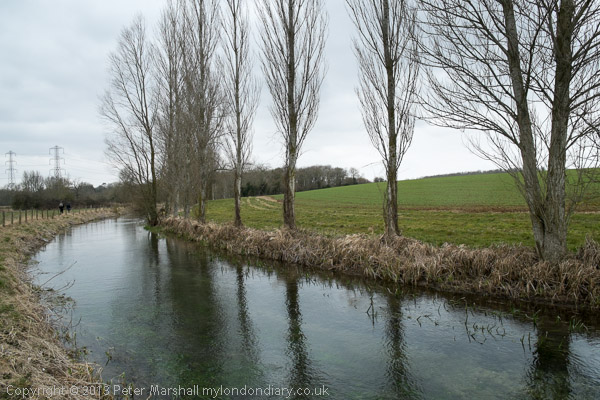
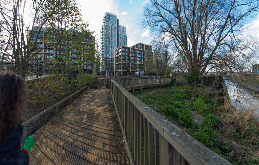
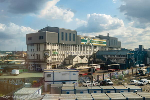
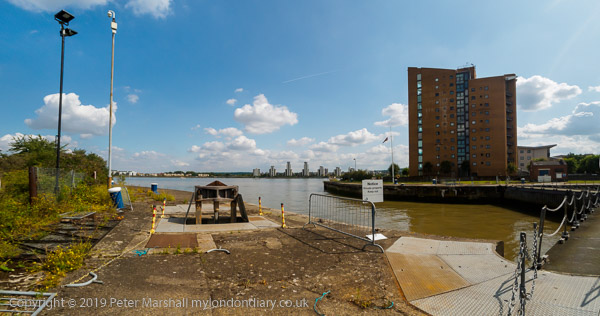
The riverside path here is part of the Capital Ring, and continues north and over lock at the Albert Dock entrance to the curiously desolate Armada Green Recreation Area.
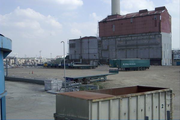
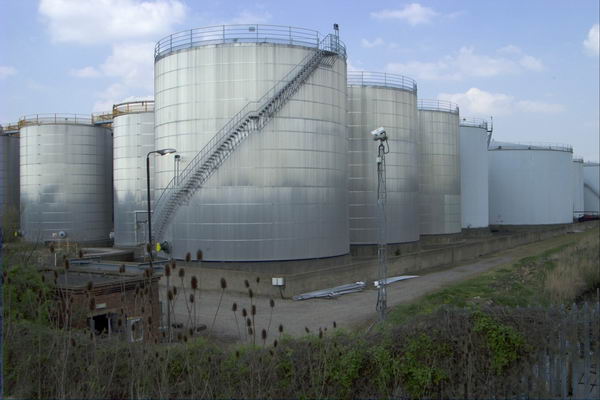
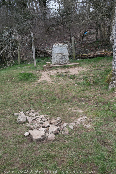
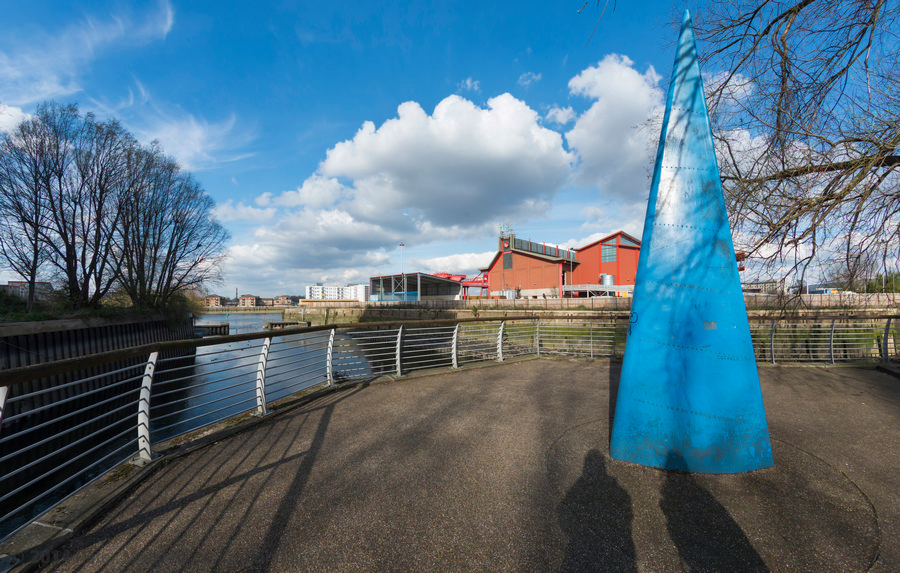
Here the path ends, with beyond it the former site of the Beckton Gas Works, used as a location for at least 17 films and TV series since its closure, though best known as a stand-in for Vietnam in the 1987 Full Metal Jacket. Past that is the Beckton Sewage Treatment Works, set up in 1864 as part of Joseph Bazalgette’s scheme to treat London’s sewage and still receiving it from all of London north of the Thames.
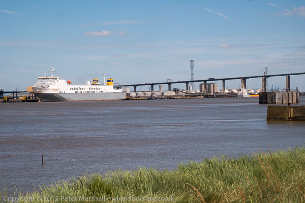
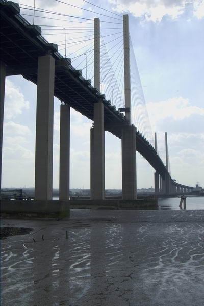
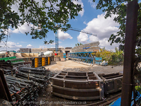
I had to turn inland, through more recent development and the refurbished Gallions Hotel around Alber Dock Basin. I went briefly under the new bridge to see again the East London University student residences, then went back and across it, taking more pictures from the bridge and the road on my way back to King George V station.
Many more pictures at North Woolwich Royal Docks & Thames.
LouLou’s stop exploiting your workers – Mayfair
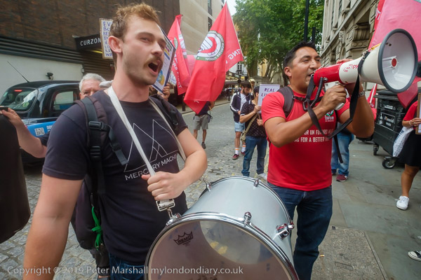
Finally I joined the IWGB Cleaners and Facilities Branch outside the exclusive Mayfair private club LouLou’s where they were picketing and protesting for kitchen porters to be paid a living wage, be treated with dignity, respect and given decent terms and conditions including proper sick pay, holidays and pension contributions. Recently outsourced to ACT, porters want to be returned to direct employment.
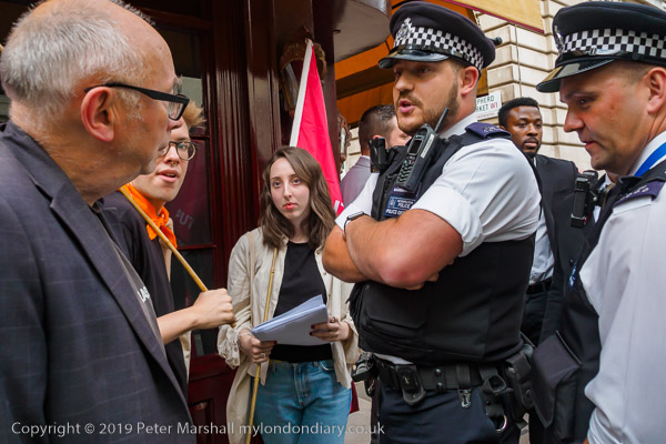
Among those supporting them were Class War, and in the picture above Ian Bone confronts a police office asking why they protect and support the rich. Needless to say the officer had no answer to the question. In general the protesters were reasonably behaved and acting within the law, but police and security hired by the club worked together to try and prevent their protest being effective.
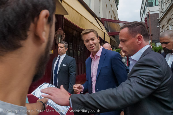
There were angry scenes as staff escorted wealthy clients of the £1800 a year club past the picket, particularly when some roughly pushed the protesters. Police repeatedly warned the protesters but not the security men or customers who had assaulted them. The security also tried to prevent the picket from handing their flier to the customers.
As at previous protests outside of the club, none of the security staff were wearing the visible SIA door supervisor licences required under the Private Security Industry Act 2001, but the police refused to take any action over this.
More pictures at LouLou’s stop exploiting your workers.