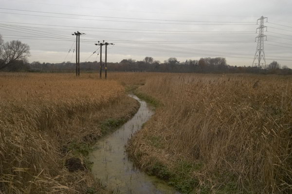
The second part of a short walk by Bow Creek on Friday 7th April 1989. The first part is at Bow Creek, East India Dock Way, April 1989.

I walked back a few yards to the west along the East India Dock Road and made this picture looking south down Bow Creek, again showing the stacked timber on the wharf. The closer of the two bridges visible was I think just a pipe bridge, probably to carry gas from the nearby gasworks from Poplar to Canning Town, and has since been removed.
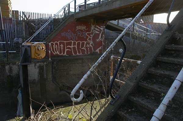
The second bridge is a Dock Road Foot Bridge, more commonly called the Blue Bridge (a name it shares with several others in London), though it also carries pipes and is still in place. I think it was intended to provide a route for people living in South Bromley to Canning Town station, and it leads to a bridge taking the footpath over the DLR, but unfortunately this has been almost permanently locked. It has been at least partly rebuilt since I made this picture
Hidden by this bridge a few yards further downstream and fenced off is another bridge, Canning Town Old Railway Bridge, long disused which was built to carry a single rail track over the river.

I walked on across Bow Creek and took this picture of the pipe bridge. As you can see it was well fenced off and although there were steps up and a footway across I could not access this.
All this brickwork on the Middlesex side of the river has gone, I think when the road bridge here was widened and a link road provided to the Limehouse Link tunnel but the brick abutment remains on the Essex side. The bridge was built to give sufficient clearance for navigation.

At the centre of the river I had crossed from Newham into Tower Hamlets. My street atlas names this area as South Bromley, but I don’t think anyone now knows where that is, as there is no station of that name, the DLR having decided on East India instead.
A few yards on along waste ground I made another picture showing the pipe bridge and the river, before turning back to the East India Dock Road. I made two exposures and I wonder if I may have chosen the wrong one to digitise as it is just slightly unsharp.

Across the water you can see much of the planks produced by the sawmill on the wharf, as well as stacks on a further wharf downriver between the building around 50 yards away on land but half a mile downstream round what is now the Bow Creek Ecology Park. Behind the cut timber you can see part of the Pura Foods edible oils factory on the opposite bank of the invisible river, and above that the top of the flood barrier across the river on the other side of the factory.
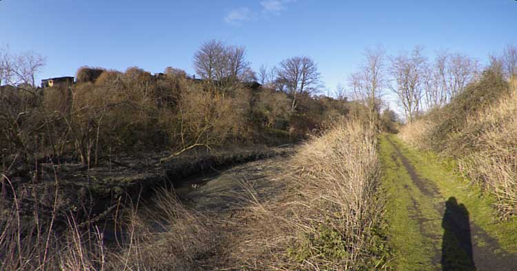
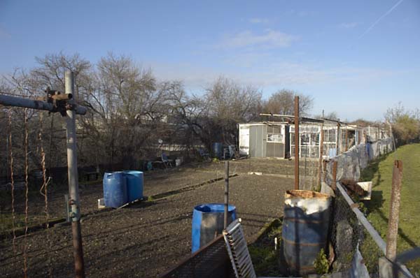
Timber was for many years a major industry on Bow Creek and along the Lea Navigation, as the Surrey Docks just across the Thames was mainly a timber dock, with large timber ponds. Boats and barges would have brought huge trunks to sawmills such as this, and the cut timber was also mainly transported further on by barge.

I walked further east and used a short telephoto lens to make this image of Pura Foods. Their factory processing vegetable oils here at Orchard Place had grown considerably over the years, as had the smells from it, and many locals were pleased when the factory moved out in 2006.
Almost all of my pictures at this time were taken with a 35mm lens, giving a moderate wide angle view. The Olympus Zuiko lens I used was unusual in being a shift lens, allow me to move the optical elements relative to the film to give additional control over the perspective. It made it possible for example to photograph taller buildings without tilting the camera which would have resulted in verticals that converged.
Lens design has improved considerably since, and so have our expectations of lenses. Many of my pictures made then have a lack of critical sharpness at the corners which we would now find unacceptable. Digital imaging in particular means we now routinely look at images on a much larger scale on screen than the prints we used to make.

I crossed to the other side of the busy East India Dock Road, going along Wharfside Road under it, and made this view looking north up Bow Creek. As you can see the West Ham Power Station was then being demolished. This was the last in a number of power stations on the site since 1904, when West Ham Council built one here to power its trams. This was West Ham B, built in 1951 and it used coal brought up Bow Creek as well as coke from the neighbouring Bromley Gas Works.
Power production at the station dropped off from the late 1960s and it closed in 1983. By 1989 its two 300ft cooling towers had already been demolished and the rest of the station was following.

A second view shows more of the Newham (or Essex) bank south of the main power station building and the closer parts are again full of stacked timber.
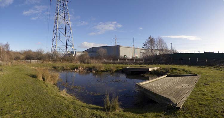
Newham Council together with Tower Hamlets has plans for a number of new bridges in the area providing links across Bow Creek, at Lochnagar St, Poplar Reach near to Cody Dock and Mayer Parry connecting the Leven Road former gasworks site to roughly where the old power station was, now the SEGRO industrial park.
It had been a short and interesting walk and I made my way to Canning Town station for the slow journey home. Canning Town is much easier to get to since the Jubilee Line opened at the end of 1999.