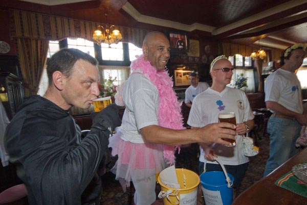
Just Shares, Riverside & No to the Crook, the Toff, The Fascist or Cop: Friday 2nd May 2008 was the day the results came out for the election for London Mayor and it turned out to be a sad day for London. Earlier I’d covered a protest calling on the City of London to move away from its unjust economic prcarices and then gone to an exhibition and walked along the riverside while I waited for the mayoral declaration, though it came after I had given up and left for home
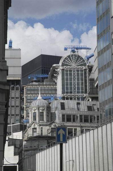
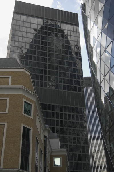
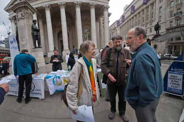
Just Shares Take On The Bank – Royal Exchange, Bank
‘Just Share’, “a coalition of churches and development agencies seeking to engage with the City of London on issues of global economic injustice” and to “address the widening gap between rich and poor in the global economy” based at St Mary-le-Bow church in Cheapside had organised a protest in the heart of the City, in front of the Royal Exchange and at the side of the Bank of England.
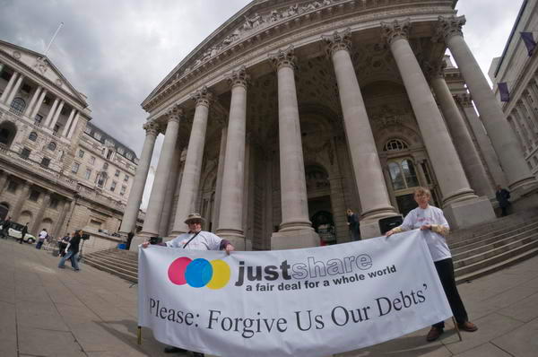
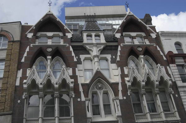
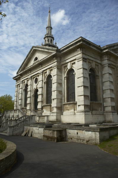
I don’t think anyone at the Bank was listening to Ann Pettifor, Guardian economist Larry Elliott or the others as they spoke on the steps of the Royal Exchange, or took seriously the seminar later by Pettifor in one of Hawksmoor’s finest churches, St Mary Woolnoth, where former slave captain John Newton, writer of ‘Amazing Grace‘, preached his last 28 years.
She argued that current global debt-based financial systems are unsustainable and that structural change is necessary which gives proper regard to actual production, and the rediscovery of the insights of earlier Christian (and of course Muslim) traditions.
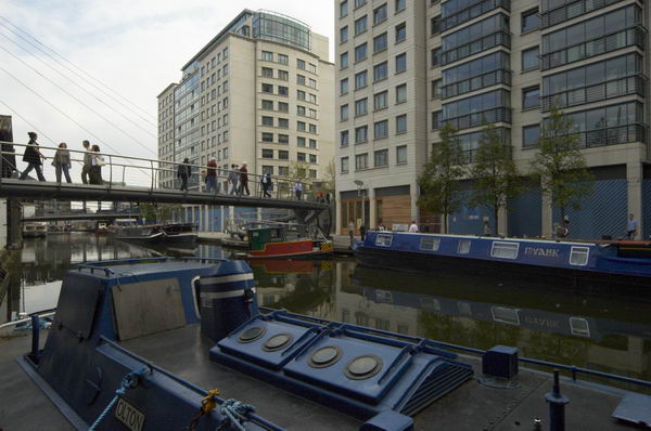
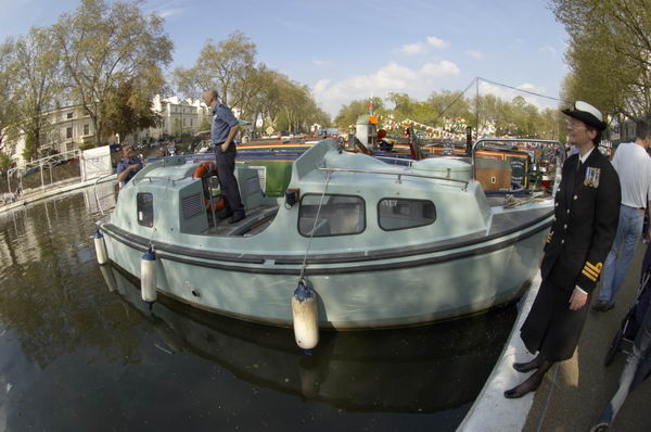
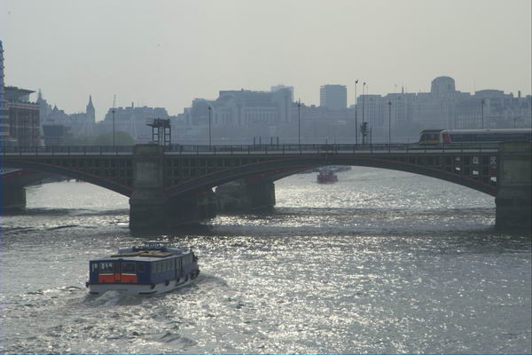
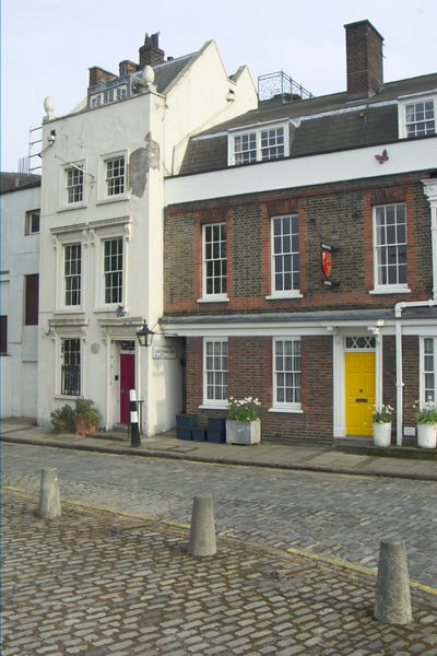
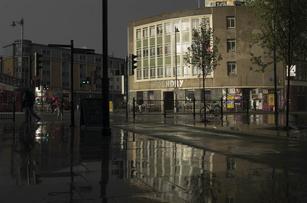
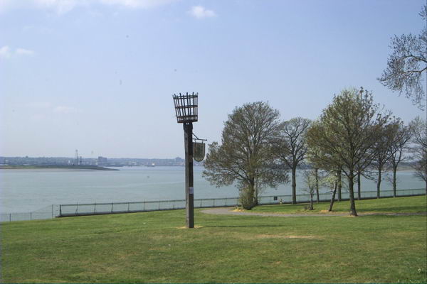
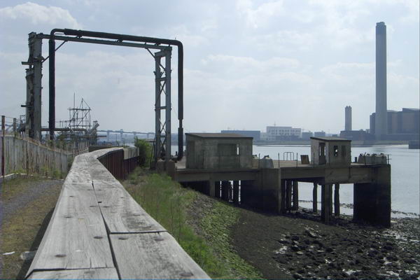
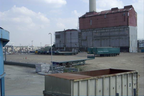
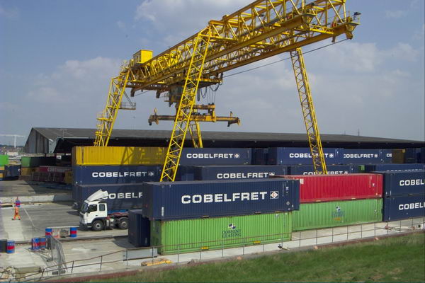
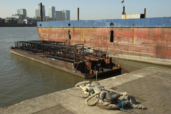
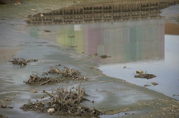
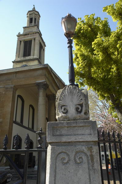
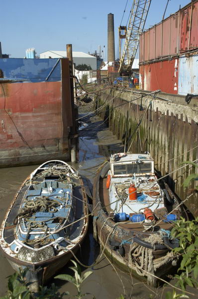
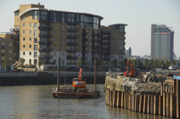
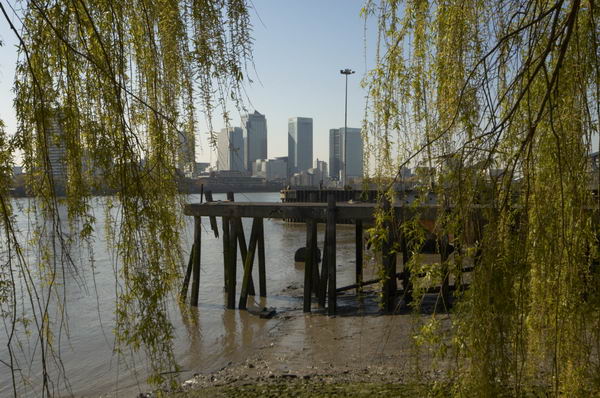
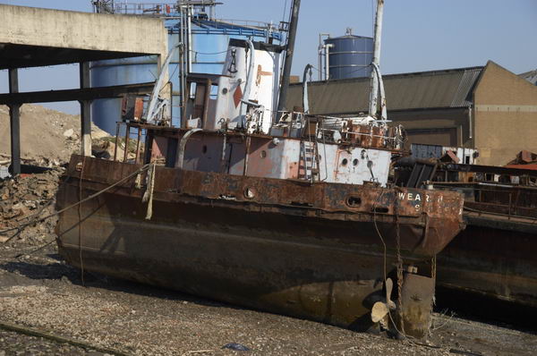
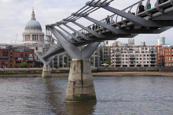
London Riverside – South Bank and Southwark
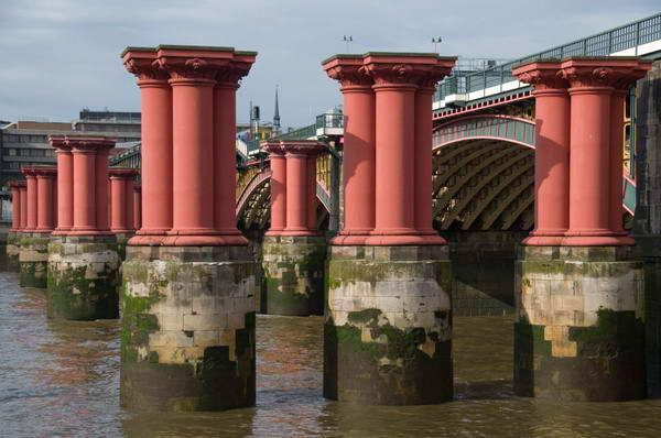
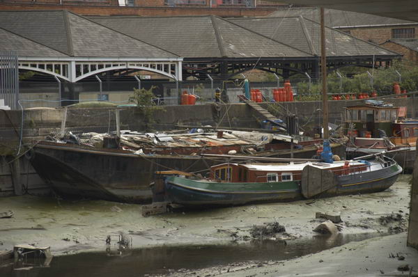
After visiting an exhibition at the Hayward Gallery on the South Bank next to Waterloo Bridge I walked slowly along the riverside and took a few pictures.
I was on my way to London’s City Hall, then close to Tower Bridge, owned by the government of Kuwait. In 2021 City Hall moved to a GLA-owned property in Newham, some miles to the east. The results of the London Mayoral Election were expected to be announced there in the early evening.
A few more pictures.
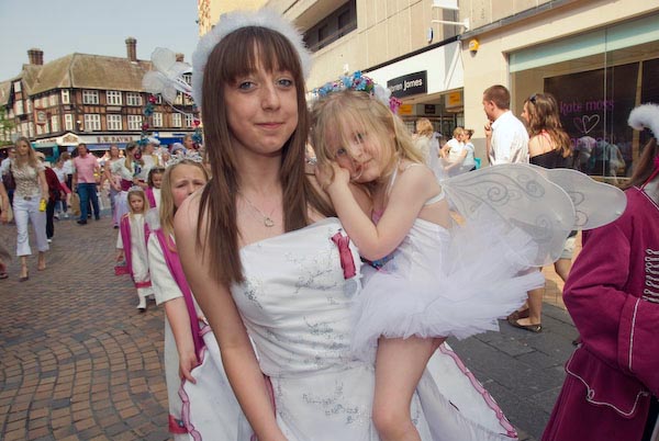
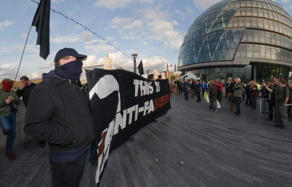
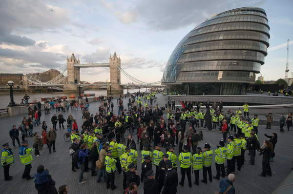
No to the Crook, the Toff, The Fascist or Cop -City Hall, Southwark
I sat on a wall close to City Hall reading John Updike’s novel ‘Terrorist’ which is perhaps why I attracted quite so much attention from a Metropolitan police FIT team (Forward Intelligence Team) photographer who took a number of photographs of me sitting there. I don’t object to being photographed, but was a little surprised when later I put in a Freedom of Information request to find the Met claimed they had no pictures of me, despite having photographed me working at many protests.
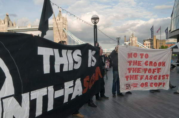
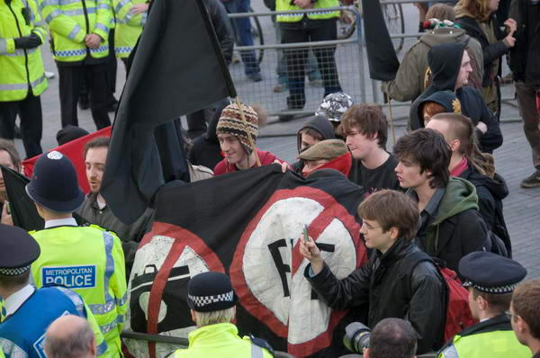
Protesters from various anarchist groups including Class War had come to City Hall to wait for the new London Mayor to be announced, though they were clear that they were against all the candidates – who they described as the Crook, the Toff, The Fascist and the Cop (there were six others also standing including Green Party candidate Sian Berry who got more votes than “the fascist” BNP candidate.
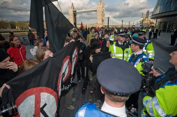
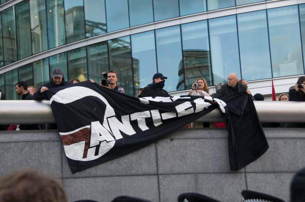
The protesters were allowed to protest in front of City Hall for around 35 minutes until Fitwatch went into action to frustrate the FIT teams (who could really use a little more intelligence) enclosing one of them in their banner.
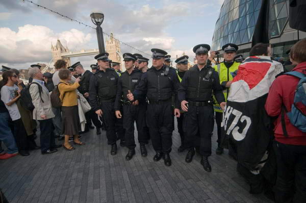
Police called up their waiting reinforcements and the TSG arrived four minutles later and began to push the demonstrators, along with some bystanders, mainly tourists, towards the waiting pen which had been set up a short distance away.
One French woman was bemused. “But why are they just letting themselves be pushed” she asked me as I took photographs. “Because this is England and not France” I replied.
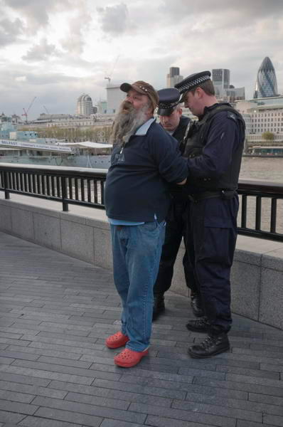
I watched as police told a man leaning peacefully on the river wall watching that he had to move as he was “obstructing the highway“. Clearly he wasn’t (though the police were) and he refused to move. They dragged him from the wall, claimed he was struggling (visibly he wasn’t), handcuffed him and led him away to one of the over 40 police vans parked nearby.

I showed my press card and for once was allowed through the police line obstructing the riverside path and made my way to a public balcony overlooking the area. “Cannier protesters had moved away faster, and were able to display their banner” for a couple of minutes but as I arrived they saw the police coming after them and made a run for a nearby pub.
“The police obviously couldn’t be bothered to chase them, and contented themselves with moving the innocent public away from the balcony, and after a short time, also moving the press.” I joined the protesters in the pub for a drink before leaving for home.
By the time I arrived home Boris Johnson (the Toff) had been announced as the winner and London suffered from a dysfunctional mayor for the next 8 years as he was again elected in 2012. Later those the police had penned were allowed to go home.
Many more pictures.
Flickr – Facebook – My London Diary – Hull Photos – Lea Valley – Paris
London’s Industrial Heritage – London Photos
All photographs on this page are copyright © Peter Marshall.
Contact me to buy prints or licence to reproduce.