Dangleway, Silvertown and Stratford Marsh: My day out on Wednesday 26 June 2013 began by taking the tube to North Greenwich and then walking to the cablecar for the ride across the Thames.
Back then I commented “Given the huge losses it is sustaining I can’t see it remaining open too much longer, so if you’ve not taken a ride don’t leave it too long“, and I’m surprised to find it still running 8 years later. But perhaps not for much longer, as the sponsorship deal with the Emirates Airline comes to an end this month, and no other company has come forward to pick up the tab, even though TfL have offered a huge reduction for the privilege.
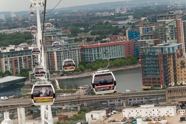
Never a sensible contribution to London’s travel network it remains one of London’s cheaper and more interesting tourist attractions. I’m not sure whether the fact that it now lands on the north bank spitting distance from London’s now misplaced County Hall adds to its chances of retention, but it could make it more likely to be brought within the normal London fare structures.
There are already fare reductions for people with Travelcards, and frequent users can buy a ticket which reduces the cost to make it a viable part of a commute to work, particularly as you can take a bike with you for free. However I suspect the number of ‘frequent fliers’ is probably only in two figures. Its also a service which is more affected by weather than surface transport, closing down in high winds.
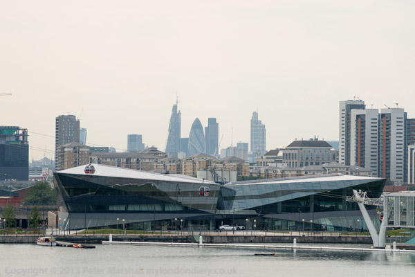
But it does have the height to give some splended views, even if the surrounding area is perhaps less rich than that of London’s other aerial attraction, the London Eye. Actually for me is considerably more attractive, and it’s an area which is now rapidly developing on both sides of the river, with new residential developments replacing old industrial and commercial uses.
The dangleway is also a part of the East London sculpture trail, The Line, which vaguely follows the Greenwich Meridian, from North Greenwich to Stratford and makes an interesting walk, although this will become a more interesting walk once the riverside path from Cody Dock to the East India Dock Road is opened, something we have been waiting for around 20 years. One day it might even extend past Canning Town station to Trinity Buoy Wharf, but we may not live that long.
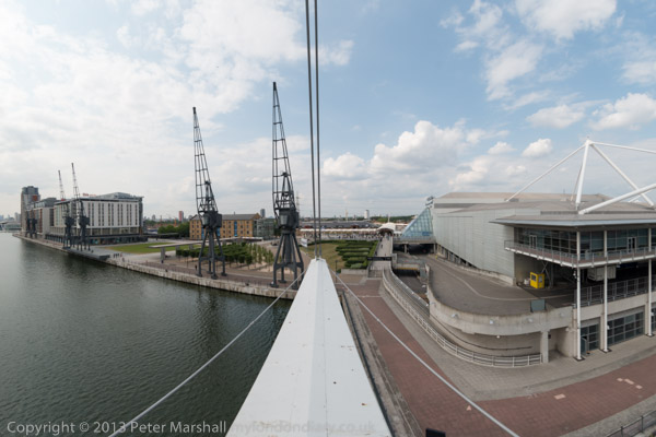
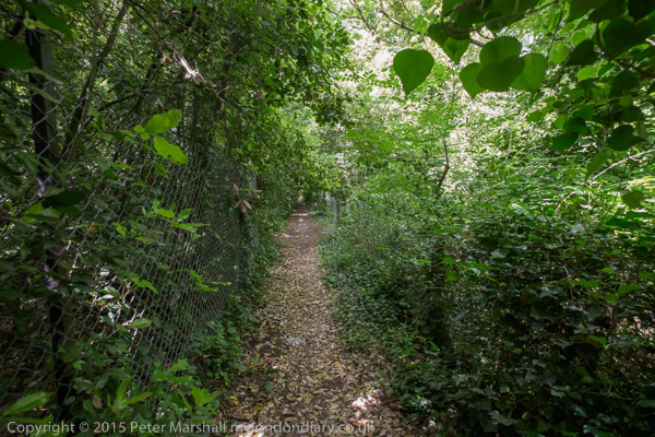
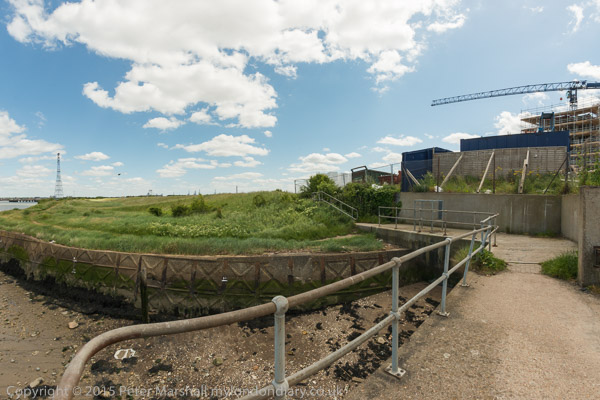
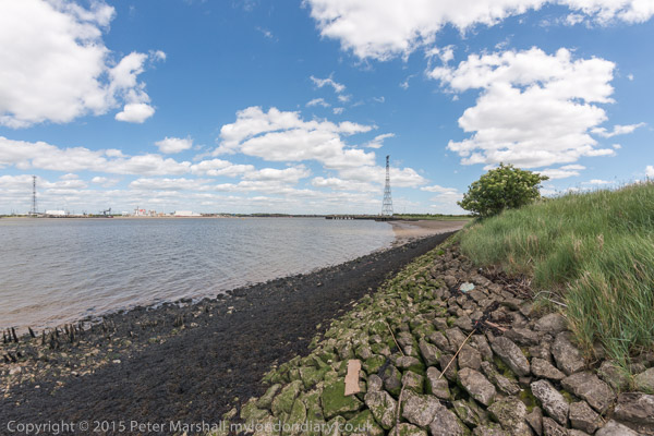
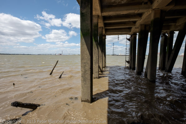
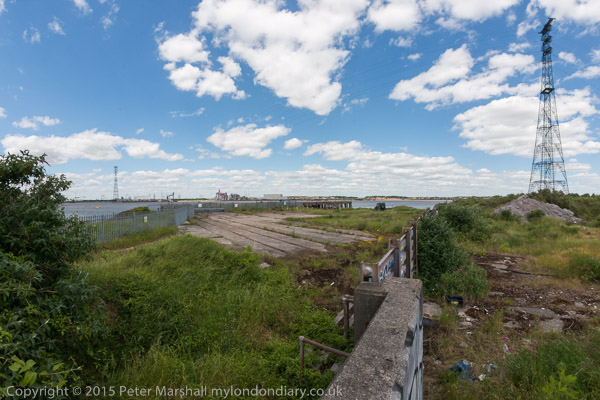
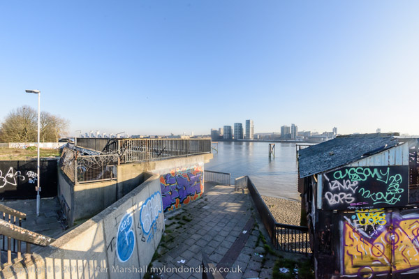
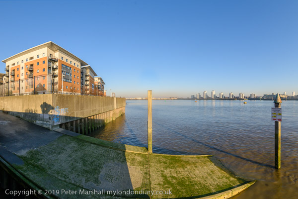
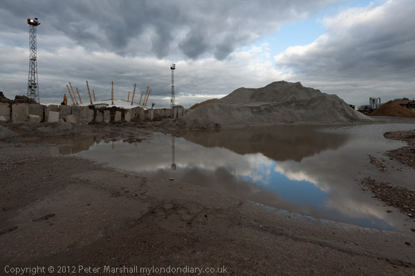
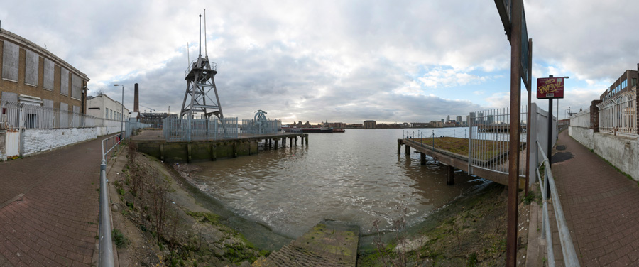
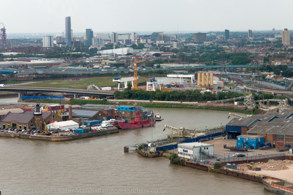
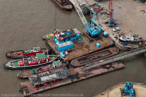
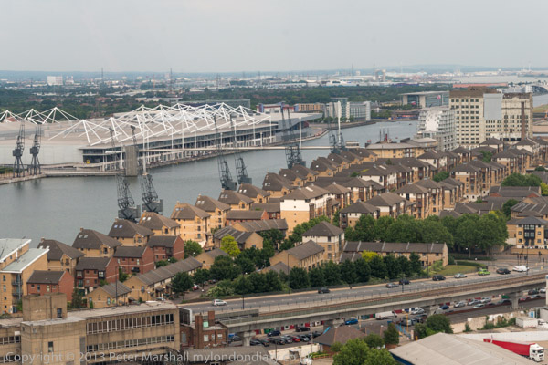
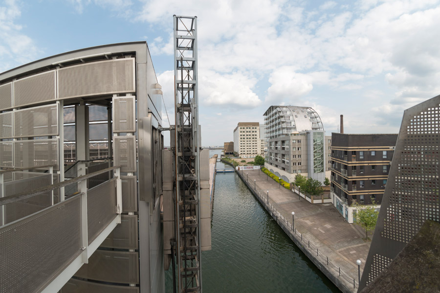
Although you can see the riverside from above, little of it is now publicly accessible, though I walked along Bow Creek and a little of the Thames here back in the 1980s taking photographs now on Flickr. But back then the Royal Victoria Dock was largely fenced off and you can now walk around it and over a high-level bridge which also has interesting views.
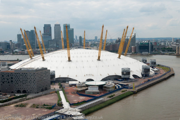
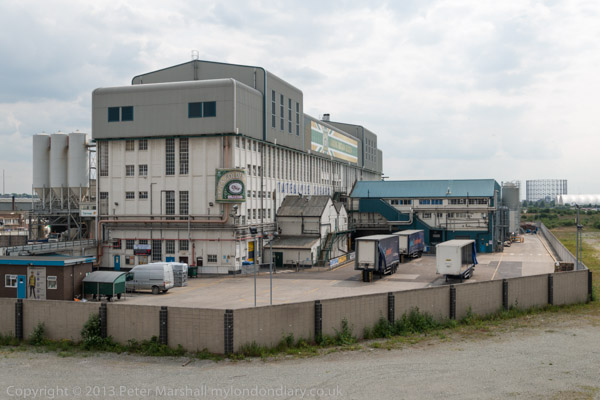
Or at least you can most of the time. But the area becomes a high security zone with the bridge closed when the Excel Centre is full of arms dealers selling often illegal arms to repressive regimes around the world – every other September. Fortunately it was June, though I was back there for the DSEI protests in September – and in other years.
The DLR also runs through the area on a viaduct, and from the train and the stations you also get some interesting views, though the train windows are often rather to dirty for taking photographs. That you are looking south from the line can also mean the sun is shining directly into the lens.
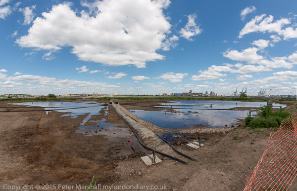
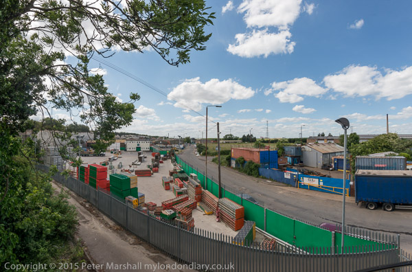
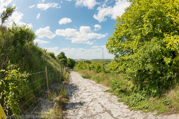
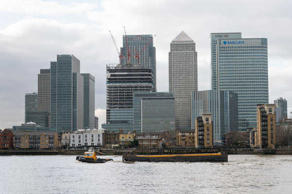
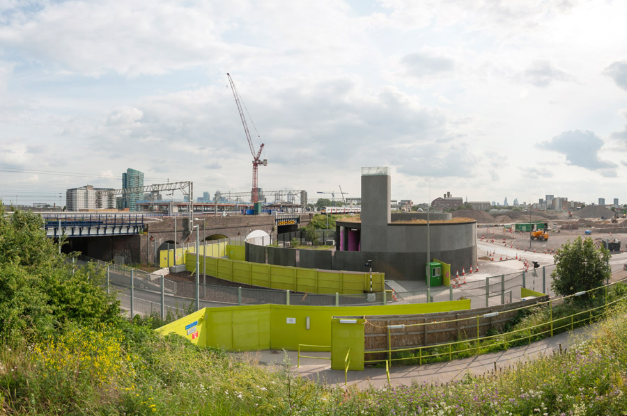
This is the Woolwich branch of the DLR and at Canary Wharf I changed onto a train towards Stratford, alighting at Pudding Mill Lane to walk up onto the Greenway. I arrived just too late to go into the View Tube there so I had to be content with making pictures from the Greenway which runs high through the area.
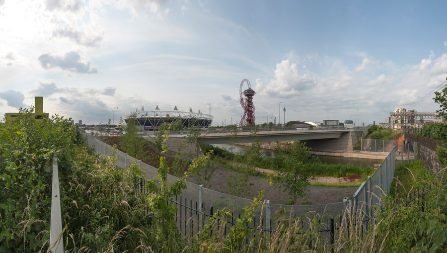
I’d begun making photogrfaphs here back in the 1980s, and had published some of these on my my River Lea/Lee Valley web site – and in the Blurb book ‘Before The Olympics‘, returning to the area occasionally and photographing it as it changed and particularly as the Olympic site developed. Progress on restoring the area to some useful purpose appeared to be very slow
More on My London Diary where the pictures are also larger – though you can see these ones larger by opening the images in their own window.
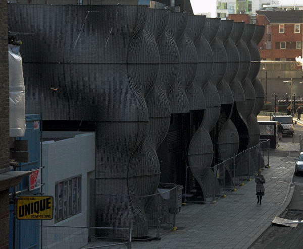
Stratford Greenway Olympic Revisit
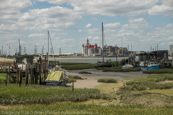
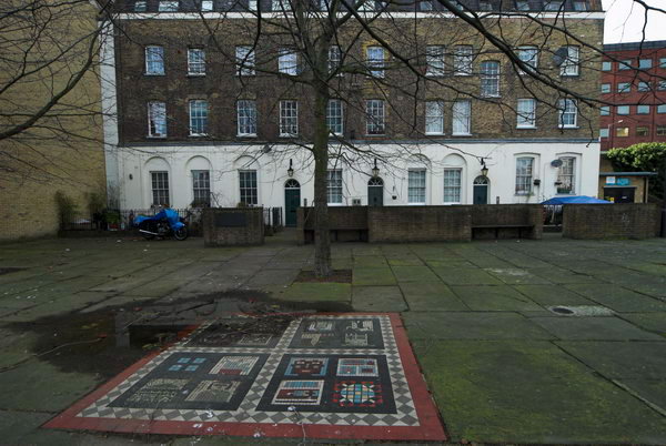
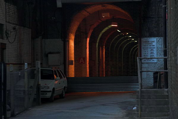
Victoria Dock and Silvertown
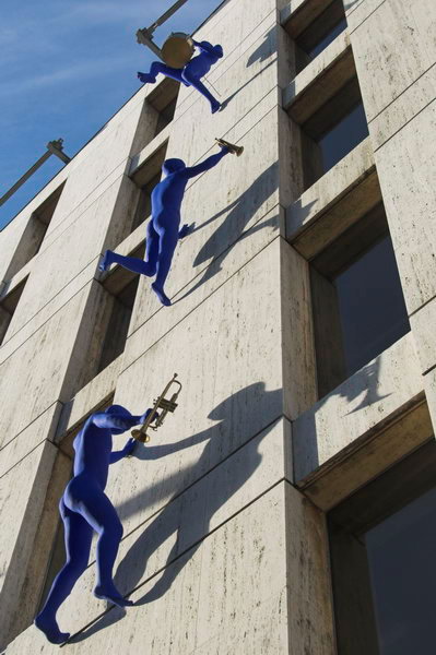
Emirates ‘Airline’ – Arab Dangleway