Southwark Housing, Bermondsey & Rembrandt – 2014

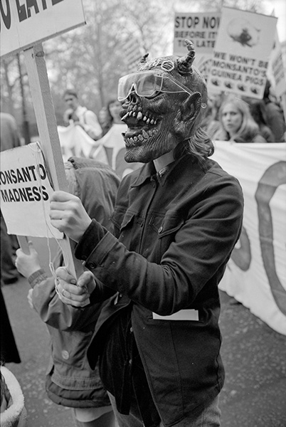
Southwark Housing, Bermondsey & Rembrandt: On Thursday October 16th 2014 I photographed a march from the Elephant to Southwark Council Offices over the borough’s housing scandals, took some time off in Bermondsey to take some panoramic images and then covered a protest at the National Gallery against sponsorship of art exhibitions by companies such as Shell, G4S, BP and Serco.


Compulsory Purchase Orders for Southwark Councillors

Southwark Housing, Bermondsey & Rembrandt

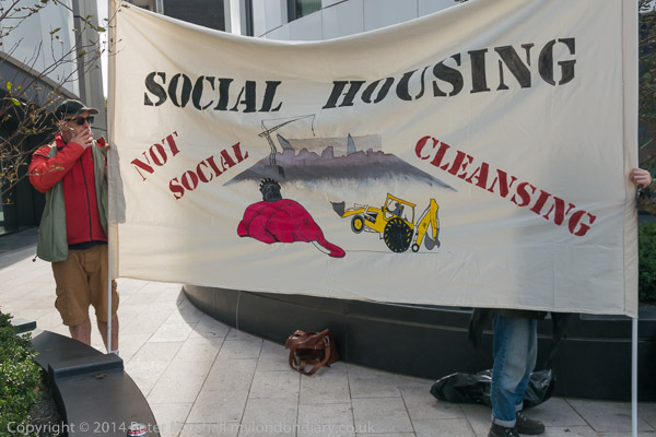
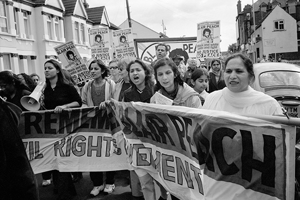
Housing campaigners from Southwark marched from the Elephant and Council to Southwark Council Offices to serve ‘People’s Compulsory Purchase Orders‘ on the homes of the Council leader and other councillors who they say have accepted gifts from developers to sell off council estates at knockdown prices.

Southwark Housing, Bermondsey & Rembrandt

The shameful demolition of over 1200 homes in and close to the well-designed and largely popular Heygate estate has cost the borough dearly, with the costs to the council of ‘decanting’ the residents exceeding the knock-down price it charged the developers.

Southwark Housing, Bermondsey & Rembrandt

Of course the estate residents suffered more, losing their homes and being forced to move further out into the suburbs. Leaseholders were only offered roughly half the true market value of property in the area.

Southwark Housing, Bermondsey & Rembrandt

The demolition and redevelopment has meant the loss of over a thousand social homes, and the new properties on the site had already been advertised to overseas buyers in Singapore and elsewhere as second homes, investment properties, homes for wealthy overseas students studying here, buy-to-let etc. There are just a few so-called affordable units at 80% of market rates, still well above what most Londoners can actually afford.

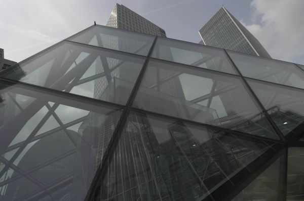
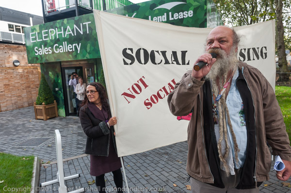
The protesters met at the base of the Strata Tower, an ugly development of largely luxury flats with three wind turbines built into its roof for show – unable to produce electricity as when running they produce excessive vibration in flats at the top of the building. Facing them ‘One The Elephant‘ was going up, a 44 storey block of luxury flats with no social housing, and is being sold abroad, with ‘studio flats’ starting at around £320,000 or 640,000 Singapore dollars.

Southwark campaigners were joined by members of the Focus E15 ‘Housing for All campaign’ and their first stop for a brief protest was the Elephant Park Sales Office on the Walworth Rd. They then walked through several council estates to the north of the New Kent Road which are also attractive targets for developers who can make huge profits by demolishing them and building high price flats at much higher densities.

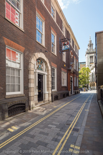
They continued through other council estates in the area to London Bridge Station and on to the council offices in Tooley Street, where they were stopped by security from entering the Council offices. Police were called and after much argument two of the campaigners who were Southwark residents were allowed in and waited to present letters containing ‘People’s Compulsory Purchase Orders’ for their homes to council leader Peter John and two other councillors.

They asked at reception to see the councillors and were told to take a seat and wait. They waited and waited. Eventually someone from the council came to tell them that all three named councillors were unavailable but took their letters promising to hand them over personally to them.

More at CPOs for Southwark Councillors.


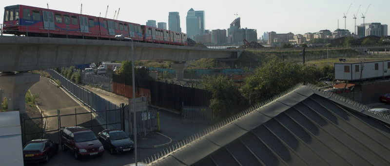
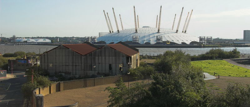
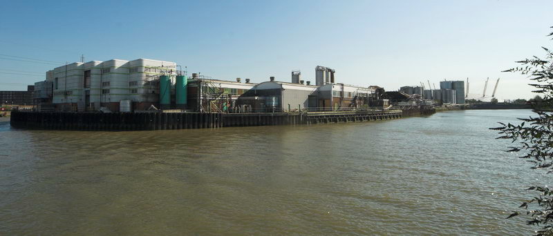
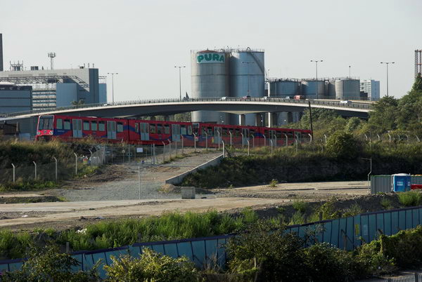
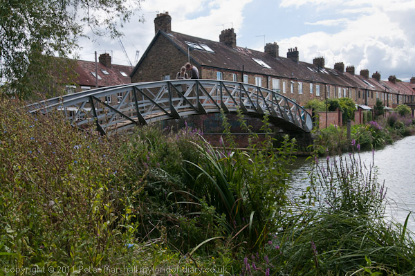
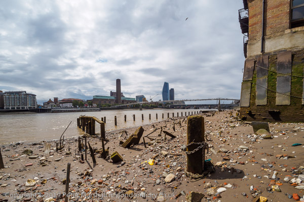
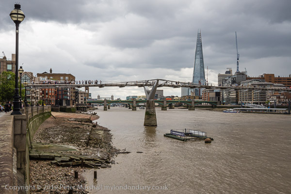
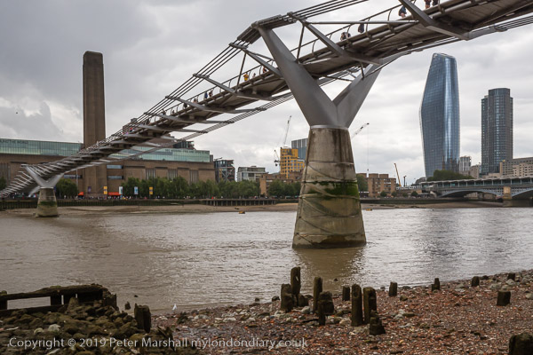
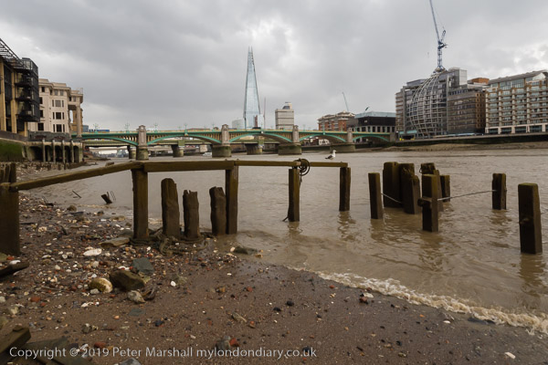
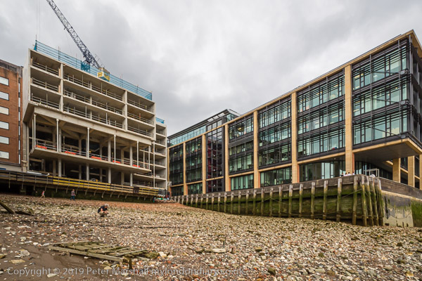
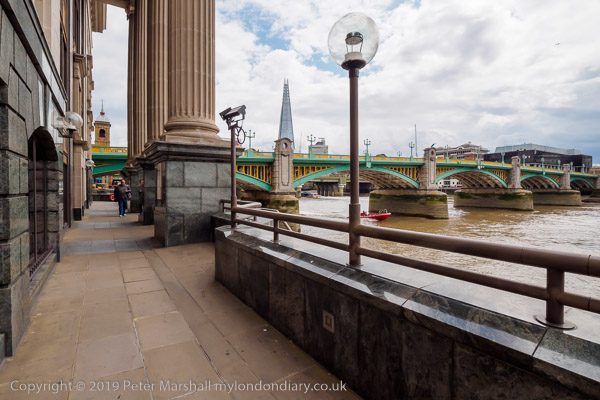
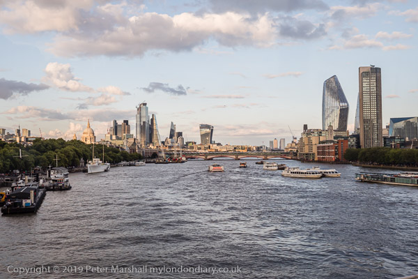
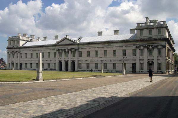
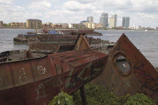
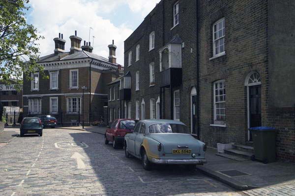
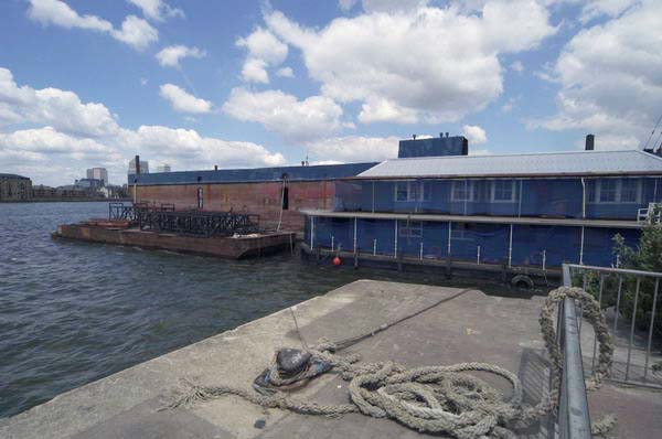
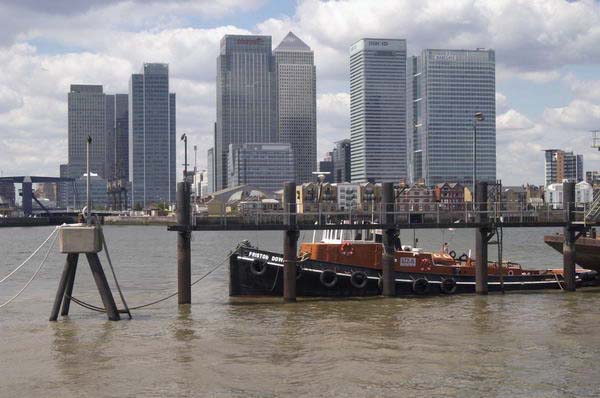
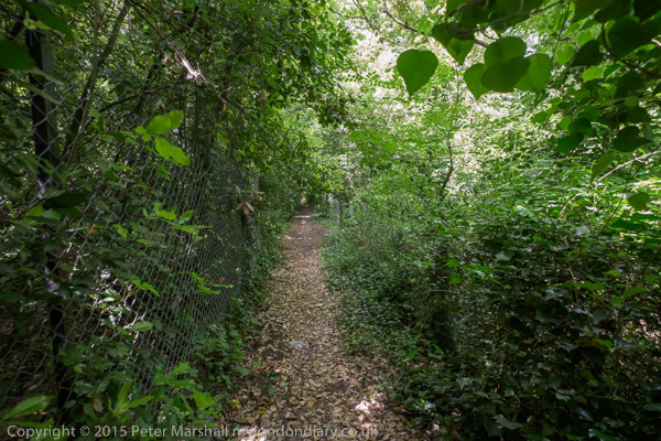
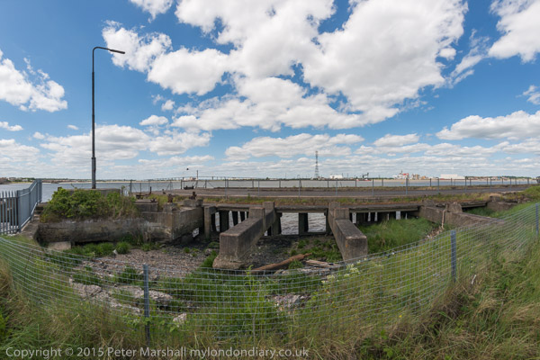
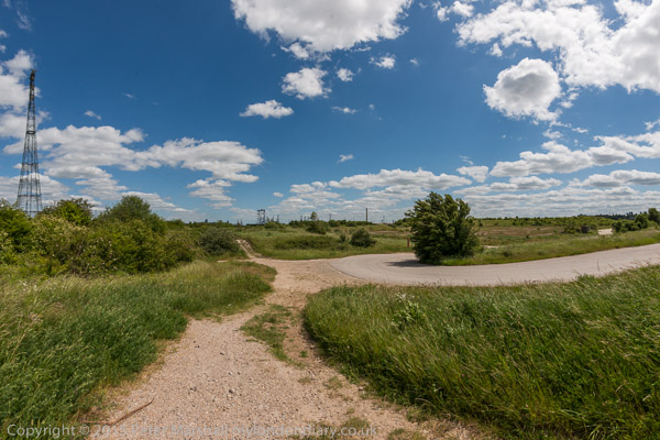
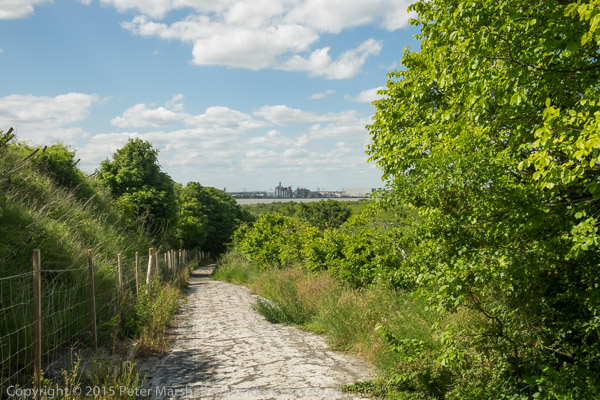
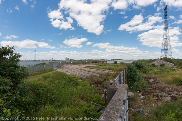
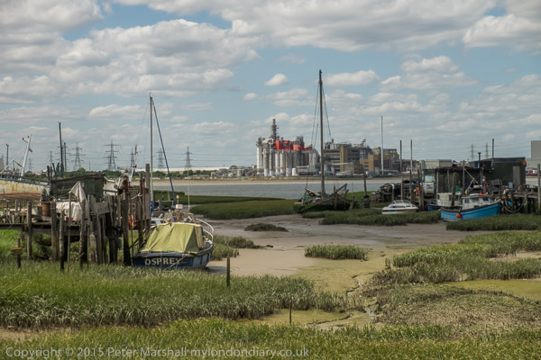
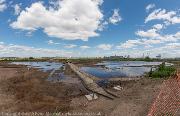
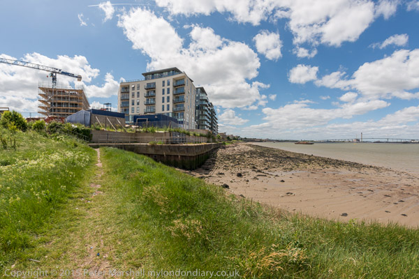
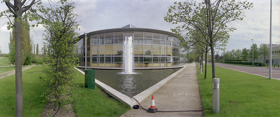
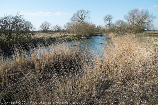
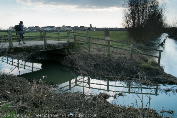
Bermondsey Thames Panoramas – City Hall to Angel Wharf

I had some time before my next protest and took a short walk by the River Thames,

beginning in Potters Fields where ‘One Tower Bridge’ was going up close to City Hall.

Past Tower Bridge I took a short walk on the foreshore in front of Butler’s Wharf before continuing along Shad Thames and across the footbridge over St Saviour’s Creek.

I continued along the Thames Path past the moorings, and got as far as Angel Wharf before I realised I needed to catch a bus to get me back to Trafalgar Sqaure in time for my next event.

More pictures Bermondsey Thames Panoramas


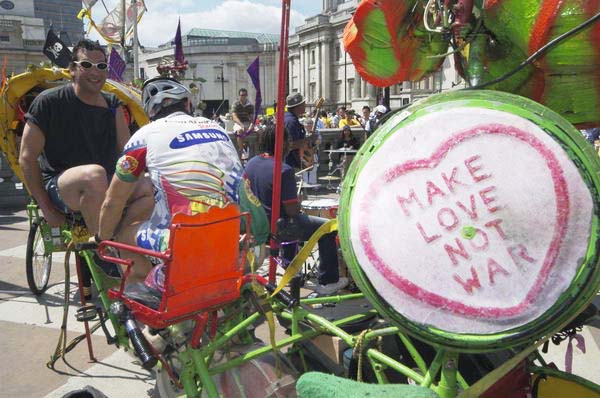
Art Not Oil Rembrandt Against Shell – National Gallery

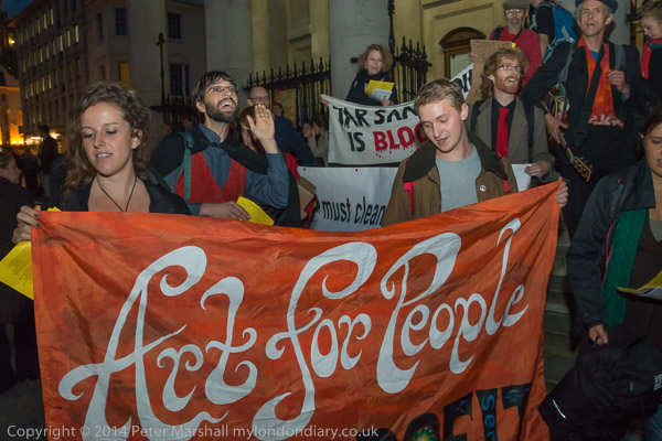
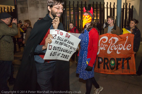
The Art Not Oil coalition had gate-crashed the press launch of the National Gallery’s Rembrandt exhibition to give a brief performance protesting against oil sponsorship of the arts and privatisation of gallery staffing.

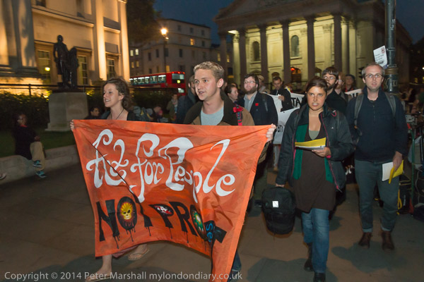
On the evening of 16th October they met on the steps of St Martin-in-the-Fields before marching the few yards to give a repeat performance outside the gallery which was then holding a gala evening for special guests and highly ranked staff.

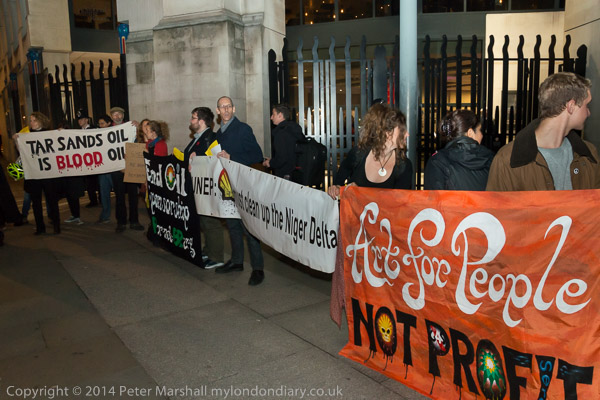
The National Gallery was making plans to privatise up to two thirds of the gallery staff and this exhibition was being guarded by a private security firm rather than the gallery’s own staff.

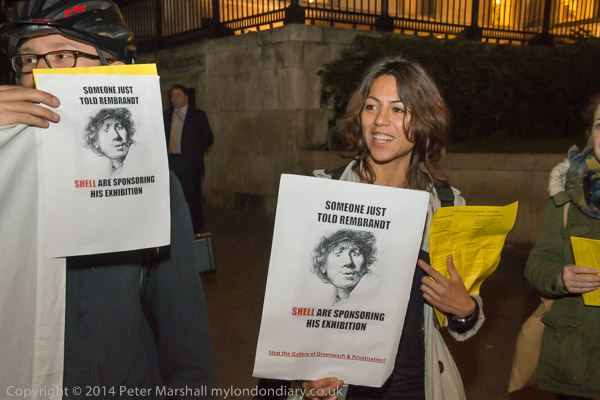
Art Not Oil held banners and placards and handed out flyers agains the sponsorship by Shell stating:

"The presence of unethical sponsors like Shell and the contracting of external security firms shows the growing influence the private sector is having over our arts and culture. With its meagre contribution to the gallery, Shell is buying social legitimacy for its dodgy deeds worldwide, including:

- its failure to clean up its multiple spills in the Niger Delta
- its reckless plans to drill in the Arctic for yet more oil
- its tar sands projects in Canada that are undermining Indigenous people's rights"

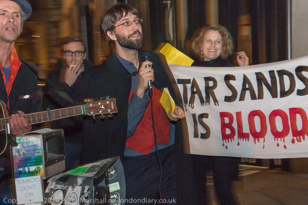
They sang a number of specially written songs and performed the short playlet they had previously given inside the gallery during the press launch.

More at Art Not Oil Rembrandt Against Shell.


FlickrFacebookMy London DiaryHull PhotosLea ValleyParis
London’s Industrial HeritageLondon Photos

All photographs on this page are copyright © Peter Marshall.
Contact me to buy prints or licence to reproduce.


A Walk Around Bow Creek – 2006

A Walk Around Bow Creek: I can no longer remember what meeting I had gone to somewhere in London on Thursday 21st September 2006, perhaps one at the Musuem of London in connection with a planned exhibition (later cancelled) but I had taken my Brompton folding bicycle with me on the train, as well as my Nikon D200 camera and a couple of lenses.

The Nikon D200 was my third digital SLR camera and the first that was really great to use, with a decent viewfinder. Really the later models that I went on to buy offered only minor improvements and for most purposed the 10Mp images were large enough. At the time Nikon was still saying that the DX format was large enough – and it was only really marketing issues that made them later bring out “full-frame” cameras. And they were correct; I’m now finding the even smaller Micro Four Thirds does a great job, and the even smaller sensors in some phones have produced some remarkable images.

The smaller sensor meant that the 12-24mm Sigma lens I was using was equivalent to a 18-36mm full-frame lens, but also, because it avoided using the outer regioins of the image circle it maintained higher resolution into the image corners and had less vivnetting than if used on full frame. And the 1.5 multiplication factor made my longer zoom very much more compact than a full-frame lens with the same coverage.

I hadn’t taken any of my panoramic cameras with me, but did take some images with the intention of cropping them to a panoramic format, and some are among these pictures mainly from those I posted on My London Diary.

Having the Brompton meant it was much easier to travel around the area in the roughly two hours I spent taking pictures. It’s a great way to get around and unlike with a car you can stop pretty well anywhere, as you can if walking.

Here with some small alterations is what I wrote about this on My London Diary back in 2006:

I took off from a meeting and cycled to Canning Town, and wandered through the East India Dock estate to the walkway which leads to the Bow Creek Nature Reserve.

To my surprise, the gates on the bridge over the DLR which should lead to the riverside walkway to Canning Town Station were unlocked, and I was able to go over the bridge, only to find the path still blocked. I was just about able to take a few pictures, but not quite from the location I’d long wanted to reach to photograph Pura Foods.

I’d come to photograph the demolition of Pura Foods, soon to be replaced by a mixture of housing and retail development – and including a new bridge to Canning Town Station. This is in addition to another new bridge planned to take the riverside path from Canning Town across the Lea close to the Lower Lea Crossing down to Trinity Buoy Wharf Arts Centre, which was once promised for completion by December 2006.

[The development of London City Island was stalled for some years by the financial crash – and the lower bridge plans abandoned.]

Locals won’t be sorry to see Pura go, one of the few remaining obnoxious industries in this belt to the east of the city, although a successful campaign by local campaiging group TELCO against the smell had previously led to them cleaning up their act. Pura Foods was disappearing fast before my very eyes as I rode along the riverside path and then over the Lower Lea Crossing.

September 2006 My London Diary
More images


FlickrFacebookMy London DiaryHull PhotosLea ValleyParis
London’s Industrial HeritageLondon Photos

All photographs on this page are copyright © Peter Marshall.
Contact me to buy prints or licence to reproduce.


Thames Path: Oxford-Eynsham – 2011

Thames Path: Oxford-Eynsham: Saturday 27 August 2011

Thames Path: Oxford-Eynsham

Here with just a few minor changes is the post I wrote in 2011, still available with many more pictures on My London Diary, though I’ve added some useful links here.

Thames Path: Oxford-Eynsham

The question most people reading this may well be asking is ‘Where the **** is Eynsham?’ and fortunately the answer is ‘Not very far from Oxford‘ and one of its main attractions is the good bus service taking you back there.

Thames Path: Oxford-Eynsham

However had you been reading this web site a thousand or so years ago (tricky because I don’t think those Anglosaxons were too hot on internet protocols and although the avian-based RFC1149 would have been technically feasible it was only published in 1990, more or less as Tim Berners-Lee was inventing the web) the question you might have been asking was ‘Where the **** is Oxford‘, a rather less significant place until it got the idea of a having a university.

Thames Path: Oxford-Eynsham
Alice in Wonderland began here, as Dodgson and another Rev friend rowed up the river with three young girls

As we found when we got there, Eynsham had a huge abbey, though the only real sign we saw remaining of it were its fish ponds. But that was at the end of our walk, shortly before I mutinied and made for the Red Lion.

They brought Alice and her sisters to Godstow Abbey for a picnic. Earlier it was best known as the final residence

Our family walk started at the station and we made our way to the Thames, where our Thames Path book (the official guide, now in a new edition, but others are available) seemed to show the path on the wrong side of the river.

of the ‘The Fair Rosamund’ Henry II’s famous mistress, buried here around 1177.

Years ago, before we had a Thames path, I remember getting quite excited about the draft proposal for it, and even making a few suggestions. Of course there was a tow path next to the river except where some less scrupulous riparian owners had stolen and enclosed parts of it, but it did have an unfortunate habit of jumping from one side to the other at remote places where until around the 1930s there had been a ferry.

Most earlier visitors seem to have carved their initials on the Abbey, but I couldn’t see C.L.D loves A.L anywhere.

Now I’m not so sure that such ‘long-distance paths‘ are such a good idea. They encourage people to approach walking in a very competitive and one-dimensional way, ‘bagging‘ stages of the route in what are more route marches than enjoyable.

My kind of walk tends to go a quite a slow pace overall, stopping to look at and photograph things that take my interest, diverting from the path to look at what seem interesting features on the map, not worrying about getting any particular distance. But of course outside the city there are certain practicalities about finding a bus stop or station from where you can get home. My companions are usually rather more heading for the goal, and you will see the backs of two figures in the middle distance in some of my pictures, though not me running after them to catch up.

Some dead trees provided a useful seat on which to eat our sandwiches, and it was now warm in the sun

But at least this was a fairly short walk, and we did have time to look around Eynsham, a large village with around five pubs and a post office, as well as a heritage trail around the extensive former abbey grounds which we did around half of. The others were also keen to look for traces of the former railway, an extremely thirst-making and largely fruitless task, serving largely as a reminder of how short-sighted we were in abandoning way-leaves on what might by now have seemed a very suitable route for lightweight community transport.

The final picture was taken from the top of the bus on my way home as it went over Swinford Bridge, with a view along the Thames to Eynsham Lock. The bridge is a local traffic bottleneck, with long queues at the rush hour holding up traffic for around 20 minutes or more as motorists have to stop to pay the toll. Although the toll for cars is only 5p – cash only – that nets around £175,000 a year and, under the Act of Parliament granted in 1767 the income from it is free of income tax – which had not then been invented.

A long campaign (at least since 1905) by users continues to get the toll abolished, most recently with a petition to their local MP, a Mr David Cameron, who you think might be able to do something about it. But the owner of the bridge, who bought it in 2009 for £1.08 million remains anonymous, and could well be a considerable donor to Conservative party funds.

Thames Path: Oxford-Eynsham


FlickrFacebookMy London DiaryHull PhotosLea ValleyParis
London’s Industrial HeritageLondon Photos

All photographs on this page are copyright © Peter Marshall.
Contact me to buy prints or licence to reproduce.


A Walk in the City – 2019

A Walk in the City: Take a walk around parts of the City of London with me and my camera five years ago on Wednesday 7 Aug 2019. The first part of the walk I was on my own, but later I met up with a couple of friends and we continued to walk around but visited several interesting City pubs before ending up with a meal at what must be the worst Wetherspoons in Greater London at Cannon Street Station. Though I suppose it’s handy if you want to catch the train.

A Walk in the City

I’d taken a bus from Waterloo to the City and got off at St Paul’s and walked down to St Andrew’s Hill where I wanted to retake digitally an image I had made on film over 30 years ago.

A Walk in the City

Taken from the steps of St Andrew’s by the Wardrobe Church, the view of St Andrew’s Hill and the Cockpit pub was a taxing subject on film with the foreground in Wardrobe Terrace, and I never quite managed what I wanted. Using digital gave me a rather better result with no problems.

A Walk in the City

I walked on down to the River Thames and made some views along the river with the Millennium footbridge and the Shard now rather dominating the scene.

A Walk in the City

The tide was very low and I went down the steps onto the foreshore, though I needed to be careful walking on the stones and mud as I was only wearing a light pair of shoes which were very much not waterproof. I walked along under the Millennium Bridge and on towards Queenhithe, taking quite a few pictures.

The foreshore can be dangerous and the tide comes in rapidly. Although anyone is free to visit it, searching in any way – metal detecting, ‘beachcombing’, scraping and digging etc requires a https://pla.co.uk/thames-foreshore-permits PLA permit. You are advised to wear sensible footwear and gloves – which of course I wasn’t – and to watch out for hazards including raw sewage, broken glass, hypodermic needles and wash from vessels. I stepped very carefully.

Buried below the sand and mud at Queenhithe are the remains of part of London’s Roman harbour and the later medieval quay. A scheduled ancient monument, it is probably the only existing Saxon harbour in the world, presented by King Alfred the Great in 883 AD to his brother-in-law Ethelred. It got the name Queenhithe later when the harbour dues became the property of the wife of Henry I, Queen Matilda. The dock was still in use mainly by the fur trade in the early 20th century, and there were still fur shops in the area around in the 1970s.

I didn’t stay long on the foreshore and couldn’t remember where the next set of steps up from it were, so went back onto the Thames Path where I had come down and walked east towards Monument Station where I was meeting two photographer friends.

One of my friends had planned this walk and I was just a little surprised to find we were going back to one of the places I had visited earlier, St Andrew’s Hill, though less surprised when we went into the Cockpit pub.

The pub is on a historic site, originally part of one of the gatehouses of Blackfriars Monastery. There was a pub here when Shakespeare bought a house nearby. And undoubtedly there was somewhere here where cock fights took place until cockfighting was banned – along with dog fighting, bear baiting and badger baiting – in 1835. But this is a Victorian theme pub, rebuilt around 1865, though some at least of its interior decoration almost certainly came from actual cockfighting venues. But punters never stood in the closed galleries here to watch fights. Now firmly on the tourist circuit it is still worth a visit, if just for a pint of Harvey’s Sussex Best Bitter.

Our walk continued through more of the streets in this area and then across New Bridge Street and on to Bride Lane and St Bride’s Passage and The Old Bell Tavern, once very much part of Fleet Street, the Street of Shame. The Old Bell Tavern is on the site where it all started, when in 1500 Wynkyn de Worde who had worked with William Caxton set up the first print shop on Fleet Street. The building is apparently derived from one that Christopher Wren knocked up for his masons when they were building St Brides, the journalists’ church.

Our walk more or less finished there, though we took a bus to Cannon Street Station for cheap food at the Wetherspoons, though I found it very disappointing. Spoons do much better almost everywhere else. I caught a bus from St Paul’s Churchyard, sat in the front seat on the top desk and it had unusually clean windows so I took a few more picture on the way back to Waterloo.

More pictures from the day at City & Thames.


FlickrFacebookMy London DiaryHull PhotosLea ValleyParis
London’s Industrial HeritageLondon Photos

All photographs on this page are copyright © Peter Marshall.
Contact me to buy prints or licence to reproduce.


Swan Upping – 2008

Swan Upping: On Monday 14 July 2008 I caught a train back from Hull so as to be back in Staines in time to meet the Swan Uppers as the last boats in the flotilla were leaving the Swan in Staines (or Egham Hythe) after stopping for lunch.

Swan Upping

Every July two groups of Thames Watermen make their way upstream from Sunbury to Abingdon following a tradition established not long after the Norman conquest, though the earliest clear written records only date back to 1186.

Swan Upping
The Queen’s (now King’s) Swan Master David Barber

Ownership of swans is still controlled by ancient laws, with the Crown claiming ownership of all unmarked swans on open water.

Swan Upping

In medieval times, swans, or rather cygnets, were an important source of food and many had the right to own swans. Upping in those times was a way of establishing ownership and taking some cygnets to be fattened for the tables, but leaving enough birds to maintain the swan population at a healthy level. The upping was done in July when the cygnets were still too young to be able to fly away and escape.

Swan Upping

Today only three bodies apart from the Crown have maintained the right to own swans, a family with a Swannery on a lake in Abbotsbury and two London Livery companies who exercise their rights on those on the Thames.

The Vintners were officially granted their rights in 1472 and the Dyers at around the same date, though their right was then granted ‘by prescription’, a legal term meaning they had had the right as long as the law could remember – officially since the accession of Richard I in 1189.

Over the years chickens and ducks which could be easily farmed replaced swans as a source of food, and swans are now a protected species and it is illegal to kill them. The Royal Family may still retain the right to eat them, along with the fellows of St John’s College, Cambridge but neither body now does so.

In more recent times, Swan Upping has come to play “an important role in the conservation of the mute swan and involves the King’s Swan Warden collecting data, assessing the health of young cygnets and examining them for any injuries.” The cygnets claimed by the Dyers and the Vintners used to have their beaks nicked with distinctive marks, but now the birds are simply ringed and their weight and length recorded before being returned carefully to the river, where they swim away apparently unaffected by their experience.

Six Thames skiffs rowed by watermen, two boats each for the Royal Swan Uppers, the Dyers and the Vintners make their way upstream, keeping a lookout for swans with cygnets. They wear red shirts for the Royals, blue for the Dyers and white for the Vintners.

Back when I first photographed the Uppers, most of the scouting for cygnets was actually carried out by an elderly man on a bicycle who I got to know slightly, and I rode along behind him. When Eric saw the birds he would try to entice them to a suitable spot on the bank with the help of crushed digestive biscuits.

In more recent years, a small dinghy with an outboard motor carrying the Warden of the Swans, on Oxford professor, has often driven a little ahead of the fleet to locate the swans. The ancient post of Keeper of the Kings Swans had been split into two new posts in 1993, the other part being the Marker of the Swans, who is rowed in one of the Royal skiffs.

Following behind the skiffs is a small flotilla of river cruisers, which includes a launch for the press. I did once book a place on this, but my place was cancelled shortly before the event when the major agencies and newspapers took an unusual interest, I think because the royals were taking an unusual interest.

But for most purposes, cycling along the towpath is the best way to cover the Swan Upping, and I was often there on the bank minutes before those on the press launch were able to land and join me. And the bank was usually the best place to be, closer to the action than the press launch could get.

At the end of the day the skiffs line up together in Romney Lock where the men put on their jackets and stand up in their boats to toast the Sovereign’s health.

From Romney lock I ran around a quarter of a mile along the riverside path where the Dyers and Vintners stand in their boats with oars vertical to salute the Royal uppers who go past between them with their oars raised, before all six boats row off to the boathouse at Eton, with another 4 days of upping ahead of them.

More pictures from the 2008 Swan Upping on My London Dairy where you can also see many more pictures from previous years:

Details of this year’s Swan Upping which begins on Monday 15th July 2024 are on the website of the Swan Marker to His Majesty the King. If the weather is good I might stroll down and take a few pictures.


FlickrFacebookMy London DiaryHull PhotosLea ValleyParis
London’s Industrial HeritageLondon Photos

All photographs on this page are copyright © Peter Marshall.
Contact me to buy prints or licence to reproduce.


Greenwich, Bikefest and the 1940s – 2004

Greenwich, Bikefest and the 1940s: Twenty years ago on Sunday 13th June 2004 I had a day out in London, beginning with a walk beside the Thames at Greenwich, then coming to Westminster for a bike festival in Trafalgar Square and then a rather peaceful ‘War in the West End’ in Leicester Square. You can find what I wrote then about all these a little way down the June 2004 page of My London Diary.


Greenwich to North Greenwich Walk

Greenwich, Bikefest and the 1940s

I’d decided to get up early on Sunday and take a walk by the River Thames in Greenwich. Unfortunately engineering work meant no trains were running there so I had rather a long bus journey from Waterloo to get there. At least there was little traffic to hold the bus up.

Greenwich, Bikefest and the 1940s

I began with a walk around the grounds of the former Royal Naval College, now Greenwich University before taking the path past the power station and along Ballast Quay an on.

Greenwich, Bikefest and the 1940s

The path was open to North Greenwich and I made my way along it. Some of the pictures I made are now difficult to locate as this whole riverside is getting replaced by blocks of flats.

I didn’t put many images on line in 2004, as most viewers were still on slow internet connections. Further on towards North Greenwich there is still – at least the last time I walked along here a couple of years ago – an aggregate wharf with huge piles of sand and gravel on the landward side.

One of the huge gasholders at Greenwich was still standing in 2004, since demolished, and across the river Canary Wharf tower for long the only tower on the site was now almost hidden by others sprouting around it.

Eventually I could see the Millennium Dome looming above the sand and gravel which I felt “perhaps looks more at home in this almost lunar landscape” and I knew I was not far from North Greenwich station where I could catch the tube to Westminster.

More pictures on My London Diary.


Bikefest – Trafalgar Square

Bikefest was the first bicycle festival in Trafalgar Square, but I was surprised to find that bicycles were not allowed on the square. Though perhaps they would have got in the way, but it would have been nice at least to have had some temporary secure bike parking.

Except of course those taking part officially in the event including Team Extreme performing on the half-pipe and some great cycle powered musical systems such as Rinky-Dink.

But I had agreed to meet one of my sons there and he managed to smuggle his unicycle in to the event. But by the time I found him he had already been hassled by the heritage wardens (who I described as ‘Ken’s SS’) but he still decided to have a go at riding in the fountains where he could not possibly be endangering the public.

But he had hardly got going when he was ordered out and made to leave the area, though he did so riding the unicycle after a few quick bounces to shake off the water.

I went back to watching Team Extreme and taking a few more pictures, although I found it hard to convey quite how extreme they were, before leaving to join the Second World War in Leicester Square.

More pictures begin here on My London Diary.


West End at War, Leicester Square

Westminster Council had organised a festival turning Leicester Square into 1940’s London for the weekend, going back 60 years to 1944.

Although 60 years ago bombs were still falling on Westminster and rationing made life difficult (though for the wealthy – and there were plenty in Westminster – the black market was flourishing) the West End was full of servicemen on leave and many servicewomen determined to have fun, “letting their hair down” in cinemas, on dance floors, in clubs, pubs and hotels.

I found the scene in the square rather sad, although obviously a lot of effort had been put into the displays and performances and there were a few 1940s dressed re-enactors among the crowds in modern dress.

60 Years earlier Allied troops had landed in France on D-Day to fight to reclaim Europe, but the previous Thursday we had seen a large vote here in the European Parliament election rejecting it with both Conservative and Labour votes well down and the Lib-Dems coming in 4th place behind the UK Independence Party.

Things of course got worse in 2016, when the leave vote gained a small majority over those wishing to remain. Although the vote was not binding, stupidly Tory Prime Minister David Cameron had promised to abide by it – rather than more sensibly pointing out that a major constitutional change such as this should require a substantial majority rather than a momentary electoral whim – as would surely have been the case if we had a written constitution. And for once a politician kept his promise.

The latest opinion poll (May 1st 2024) has 55% saying we were wrong to leave against 31% thinking we were right with 13% of Don’t Knows.


FlickrFacebookMy London DiaryHull PhotosLea ValleyParis
London’s Industrial HeritageLondon Photos

All photographs on this page are copyright © Peter Marshall.
Contact me to buy prints or licence to reproduce.


Swanscombe Peninsula Kent 2015

Swanscombe Peninsula Kent: I visited and photographed the Swanscombe peninsula in the 1980s as a part of an extensive project along the south bank of the River Thames east of London, returning occasionally over the years, particularly in the 2000s when I documented the building of the Channel Tunnel Rail Link which crosses under the river here.

Swanscombe Peninsula Kent

Back in the 1980s there was still a large cement industry here. But it was here that Portland Cement became the centre of the UK cement industry, with huge quarries digging out the chalk, often 100ft thick here, leaving huge gaps in the landscape. But most of these quarries were now worked out and the industry was fast declining and has now all gone.

Swanscombe Peninsula Kent

On my 2015 post Swanscombe on My London Diary you can read more about the industry. The Swanscombe cement plant was the l argest in the UK from 1840 until 1930, but was largely derelict when I took pictures in the ’80s though it only finally closed in 1990. That at neighbouring Northfleet, was only fully developed in 1970, although cement production had begun there in 1796. That site, the last working cement plant in the area, closed in 2008 was cleared and its landmark chimneys demolished in 2009-10.

Swanscombe Peninsula Kent

Chalk had been quarried to within a few feet of the main A226 London Road and in some places on both sides of the road, leaving it running on a narrow spine of chalk.

Swanscombe Peninsula Kent

From the road the Pilgrims Road leads down steeply to Swanscombe marshes, with some industrial developments in the former chalk pits on both sides.

Swanscombe Peninsula Kent

Kent Wildlife Trust describe the marshes as “Home to a remarkable mosaic of grasslands, coastal habitats, brownfield features, scrub and wetland” and I certainly found it a remarkable area both in the 1980s and in later visits – the last a year or so ago. My pictures more reflect an interest in industrial archaeology rathe than nature.

In 2012 plans were announced to turn 216 hectares of this site into a theme park, at first with the support of Paramount Pictures who withdrew their support for Paramount Park in 2017 with the proposed park being renamed London Resort. Paramount are also taking London Resort to the High Court over a financial deal after the London Resort was in danger of going bust, although they still apparently have an interest in providing content based on their block-buster films.

In 2015 it looked likely that Paramount Park would go ahead in the relatively near future, prompting me to get on my bike and revisit the area. In the post on My London Diary I give some details about my route. I think all of the site is privately owned but back then much was still open to the public to wander around. Since then there have been more fences and notices restricting public access but there is also a new section of the England Coast Path opened at the start of 2022 through here.

The English Resort plans are still in limbo and the planning permission has lapsed, although the company still believe they will go ahead at some time, others feel the project is dead. Development of the site became more complicated when it was declared as an SSSI on account of its jumping spiders in 2021, and its financial prospects are threatened by Universal Studios consideration to build a rival resort in the former brickworks near Bedford. And its unclear if there would be the money to go ahead.

Dartford Council has withdrawn its support for the project, as has the local MP, but it remains to be seen what attitude a new government will take towards the plans. Campiagners against it, including the council have called for it to lose its Nationally Significant Infrastructure Project status which would almost certainly be its death knell.

Of course this doesn’t mean that this remarkable piece of nature is safe from development, and if London Resort is ended parts of the area are likely to be developed for housing as prime riverside sites, though hopefully much will remain.

More at Swanscombe.


FlickrFacebookMy London DiaryHull PhotosLea ValleyParis
London’s Industrial HeritageLondon Photos

All photographs on this page are copyright © Peter Marshall.
Contact me to buy prints or licence to reproduce.


Canary Wharf Workshop 2004

Canary Wharf Workshop – On Sunday May 9th 2004 I led a small workshop group of photographers on a walk which started at Canary Wharf and then went to Canning Town and the River Thames. Although photography is theoretically banned on the Canary Wharf estate we had no problems with security, probably because we kept to obviously public areas and I had asked those taking part not to use tripods.

Canary Wharf Workshop

I was never a fan of the redevelopment of London’s docklands under Michael Heseltine and the London Docklands Development Corporation set up in 1981. Of course development was needed after the docks became redundant, but we should have seen a development that was made for the interests of the population of London, not simply for the mates of the Tory Party.

Canary Wharf Workshop

The area needed some kind of overall planning authority, but one that worked with the local authorities in the area rather than against them, ignoring their priorities.

Canary Wharf Workshop

Of course there were gains from the work of the LDDC, perhaps the main ones being the Docklands Light Railway and the Jubilee Line Extension to Stratford. Certainly by the time it was wound up in 1990 it had changed the whole area significantly. But many of those changes had sacrificed local needs to business profits.

Canary Wharf Workshop

The piece that I wrote about the day reflected my political views about what had taken place. A year or so later London won the bidding for the Olympics, leading to yet more development in the area by an authority that disregarded local needs and led to inappropriate development, still proceeding, in East London. I’ll reproduce what I wrote in 2004 here, with minor corrections, particularly to capitalisation and spelling.

May 9th 2004 found me taking a group of photographers for a walk around some parts of London’s docklands. We started at the centre of this ‘crime of the century’. I still don’t quite understand why a Conservative government felt so at odds with the City of London that it decided to set up offshore competition in the Enterprise Zone.

The feeding frenzy that ensued, trousering public property and tax breaks into the private pocket at an unprecedented rate was inevitable.

The long-term consequence has been a distorted development with few real buildings of distinction but some expensively finished tat, and a lack of overall planning. I’m not sure that London would benefit from gaining the Olympics for which it is currently bidding, but if it fails, probably part of the reason will be the Docklands debacle.

We started below the obscene gesture towards the old city, at least clear about its symbolism, then took the DLR down to Crossharbour with its silly bridge, walking back to the Wharf and taking the Jubilee to Canning Town.

Then back alongside the Lee (still waiting for that riverside walkway) to East India dock basin and along by the Thames, where a galleon appeared in front of the dome.

The River Lee is here better known in its tidal section as Bow Creek, and we are still waiting for parts of that riverside walk to be opened if they ever will be. There was a competition for a new bridge across Bow Creek with a wining design named, but money disappeared and it was never built. But a few years ago we did get a different new bridge higher up by Canning Town station and the development of the industrial site of Pura Foods as London City Island.

A few more of my pictures from the walk on My London Diary


FlickrFacebookMy London DiaryHull PhotosLea ValleyParis
London’s Industrial HeritageLondon Photos

All photographs on this page are copyright © Peter Marshall.
Contact me to buy prints or licence to reproduce.


25 Years Ago – April 1999

25 Years Ago – April 1999. When I began posting on my web site My London Diary I decided that the posts would begin from the start of 1999, and there are still image files I created in January of that year on line, though I think they probably only went live on the web a few months later.

25 Years Ago - April 1999
The Millennium Dome seen across the River Thames from Blackwall DLR station, one of a series of medium format urban landscape images.

In those early days of the site there was very little writing on it (and relatively few pictures) with most pictures just posted with minimal captions if any.

25 Years Ago - April 1999
Burnt out cars at Feltham on the edge of London, stolen and wrecked on waste land by youths.

A single text on the introductory page for the year 1999 explained my rather diffuse intentions for the site as follows (I’ve updated the layout and capitalisation.)

What is My London Diary? A record of my day to day wanderings in and around London, camera in hand and some of my comments which may be related to these – or not

Things I’ve found and perhaps things people tell me. If I really knew what this site was I wouldn’t bother to write it. It’s London, it’s part of my life, but mainly pictures, arranged day by day, ordered by month and year.

My London Diary 1999

25 Years Ago - April 1999
Cardinal Cormac Murphy-O’Connor, Archbishop of Westminster (left) takes part with Anglican and Methodist clergy in the annual Good Friday Procession of Witness on Victoria St, Westminster.
25 Years Ago - April 1999

In the years following My London Diary expanded considerably, gradually adding more text about the events I was covering but retaining the same basic structure. Had I begun it a few years later it would have used a blogging platform – such as WordPress on which this blog runs, but in 1999 blogging was still in its infancy and My London Diary was handcoded html – with help from Dreamweaver and more recently BlueGriffon, now sadly no longer.

25 Years Ago - April 1999
Man holding a placard at a protest against Monsanto’s genetically modified crops.

My London Diary continued until Covid brought much of my new photography to a standstill and stuttered briefly back to life after we came out of purdah. But by then my priorities had changed, and although I am still taking some new photographs and covering rather more carefully selected events my emphasis has switched to bringing to light the many thousands of largely unseen pictures taken on film in my archives, particularly through posting on Flickr. Since March 2020 I’ve uploaded around 32,000 pictures and have had over 12 million views there, mainly of pictures I made between 1975 and 1994. The images are at higher resolution than those on my various web sites.

121 Street Party, Railton Rd, Brixton. 10th April 1999 121 was a squatted self-managed anarchist social centre on Railton Road in Brixton from 1981 until 1999.

Since I moved to digital photography My London Diary has put much of my work online, though more recent work goes into Facebook albums (and much onto Alamy.) My London Diary remains online as a low resolution archive of my work.

Sikhs celebrate 300 Years of Khalsa – Southall. 11th April 1999

April 1999 was an interesting month and all the pictures in this post come from it. I’ve added some brief captions to the pictures.

No War on Iraq protest – Hyde Park, 17 April 1999 President Bill Clinton was threatening to attack Iraq to destroy its capability to produce nuclear weapons. Operation Desert Fox, a four day air attack, came in December 1999
Southall Remembers Blair Peach – Southall. 24th April 1999. Blair Peach, a teacher in East London was murdered by police while protesting a National Front meeting in Southall in 1979.

Stockley Park – one of a series of panoramic landscapes of developments in London – this is a major office park with some outstanding architecture

FlickrFacebookMy London DiaryHull PhotosLea ValleyParis
London’s Industrial HeritageLondon Photos

All photographs on this page are copyright © Peter Marshall.
Contact me to buy prints or licence to reproduce.


Thames Path: Buscot to Cricklade – 2013

Thames Path: Buscot to Cricklade: Together with my wife and elder son I had on Saturdays spread over several years walked much of the Thames path. We’d walked it chunks of around 8-12 miles a day between places which could be reached by public transport but had come to a halt at Shifford, near Hinton Waldrist, 9 miles to the southwest of Oxford from which, at least back around 2012 it was still possible to take a bus. Thanks to cuts I think the bus service is now too infrequent to be of use.

Thames Path: Buscot to Cricklade - 2013
The room next to ours at Buscot had a four poster bed

But further upstream there was little or no public transport – and what little there was didn’t go in useful directions for us. So my son had booked us into a couple of hotels to bridge the gap, giving three longish days of walking. We travelled fairly light with just essentials in rucksacks – and of course for me a small camera bag, but it was still fairly taxing – and something I couldn’t repeat now, 11 years later.

Thames Path: Buscot to Cricklade - 2013

You can read my account of the three days, complete with rather a lot of pictures on My London Dairy at Thames Path: Shifford to Buscot, Buscot to Cricklade and Cricklade to the Source.

Thames Path: Buscot to Cricklade - 2013
Old Father Thames

I’d kept my photography equipment minimal too, taking just one camera, a Fuji X-Pro1 and I think two lenses. One was the Fujifilm XF18-55mmF2.8-4 R LM OIS, a mouthful almost larger than the lens itself, Fuji’s 18-55mm kit lens. It’s a fairly small and light lens but a remarkably good one. Fuji has since brought out zooms with wider focal length ranges, wider apertures (and higher prices) and I have some, but within its limitations I think this remains my favourite.

Thames Path: Buscot to Cricklade - 2013
Halfpenny Bridge – the toll house at right – Lechlade

I don’t think I then owned a wider Fuji lens than the zoom with the 18mm being equivalent to 27mm on a full-frame camera, rather a moderated wide-angle for me, but for those scenes where I felt a need for a wider view I also took my Nikon DX 10.5mm fisheye with a Fuji adaptor. Compact and lightweight, this worked well but was a little fiddly to use. I’ve never found using lenses with adaptors quite as satisfactory as those in the actually camera fitting. I don’t think any of the pictures I put online for this section of the walk were made with this, though some for both other days are.

The entrance to the Thames and Severn Canal across the Thames

The Buscot to Cricklade section of the walk was a little shorter than the first day when we probably walked a total of sixteen or seventeen miles, but includes some of the best and some of the worst parts of the route. There are some delightful sections of riverside walking and Lechlade is certainly a town worth visiting, as we did, although a diversion from the Thames Path itself.

The next mile or so is arguably the most interesting section of the Thames Path, at least in its upper reaches, with the start of the Thames and Severn Canal. It’s also here that the Thames towpath begins – or for us ends.

And a short distance further on is the remarkable St John the Baptist Church at Inglesham, saved and restored by William Morris and his his pre-Raphaelite friends founded the Society for the Protection of Ancient Buildings (SPAB) or ‘Anti-Scrape’ to oppose the gothicisation of buildings such as these.

But then comes a long trek over a mile beside a busy A361 followed by a longer one along along paths and lanes with hardly a sniff of a the river until you reach Castle Eaton, a village which seemed closed (and its pub certainly was.)

From there the path does follow the river all the way into Cricklade, though as I noted “going every direction except a straight line to there“. Finally we arrived at the White Hart, supposedly the poshest and oldest principal coaching inn at Cricklade since the time of Elizabeth 1 but bought by Arkells Brewery in 1973. Our rooms in a more modern part of the building were comfortable enough but rather less impressive than those on the previous night at Buscot.

Thames Path: Cricklade to the Source
Thames Path: Buscot to Cricklade
Thames Path: Shifford to Buscot


FlickrFacebookMy London DiaryHull PhotosLea ValleyParis
London’s Industrial HeritageLondon Photos

All photographs on this page are copyright © Peter Marshall.
Contact me to buy prints or licence to reproduce.