Thames Path: Oxford-Eynsham – 2011

Thames Path: Oxford-Eynsham: Saturday 27 August 2011

Thames Path: Oxford-Eynsham

Here with just a few minor changes is the post I wrote in 2011, still available with many more pictures on My London Diary, though I’ve added some useful links here.

Thames Path: Oxford-Eynsham

The question most people reading this may well be asking is ‘Where the **** is Eynsham?’ and fortunately the answer is ‘Not very far from Oxford‘ and one of its main attractions is the good bus service taking you back there.

Thames Path: Oxford-Eynsham

However had you been reading this web site a thousand or so years ago (tricky because I don’t think those Anglosaxons were too hot on internet protocols and although the avian-based RFC1149 would have been technically feasible it was only published in 1990, more or less as Tim Berners-Lee was inventing the web) the question you might have been asking was ‘Where the **** is Oxford‘, a rather less significant place until it got the idea of a having a university.

Thames Path: Oxford-Eynsham
Alice in Wonderland began here, as Dodgson and another Rev friend rowed up the river with three young girls

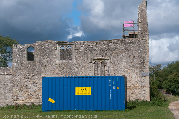
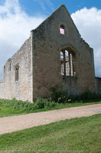
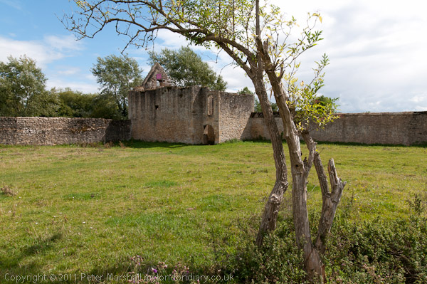
As we found when we got there, Eynsham had a huge abbey, though the only real sign we saw remaining of it were its fish ponds. But that was at the end of our walk, shortly before I mutinied and made for the Red Lion.

They brought Alice and her sisters to Godstow Abbey for a picnic. Earlier it was best known as the final residence

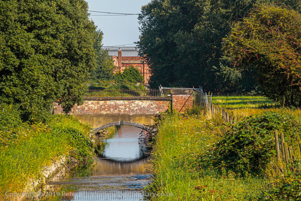
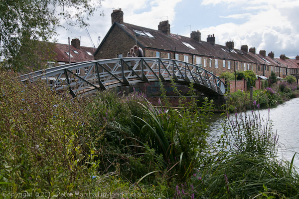
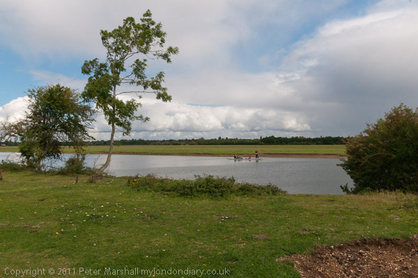
Our family walk started at the station and we made our way to the Thames, where our Thames Path book (the official guide, now in a new edition, but others are available) seemed to show the path on the wrong side of the river.

of the ‘The Fair Rosamund’ Henry II’s famous mistress, buried here around 1177.

Years ago, before we had a Thames path, I remember getting quite excited about the draft proposal for it, and even making a few suggestions. Of course there was a tow path next to the river except where some less scrupulous riparian owners had stolen and enclosed parts of it, but it did have an unfortunate habit of jumping from one side to the other at remote places where until around the 1930s there had been a ferry.

Most earlier visitors seem to have carved their initials on the Abbey, but I couldn’t see C.L.D loves A.L anywhere.

Now I’m not so sure that such ‘long-distance paths‘ are such a good idea. They encourage people to approach walking in a very competitive and one-dimensional way, ‘bagging‘ stages of the route in what are more route marches than enjoyable.

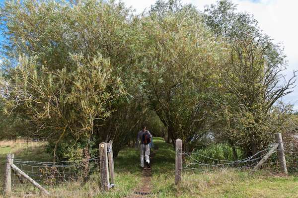
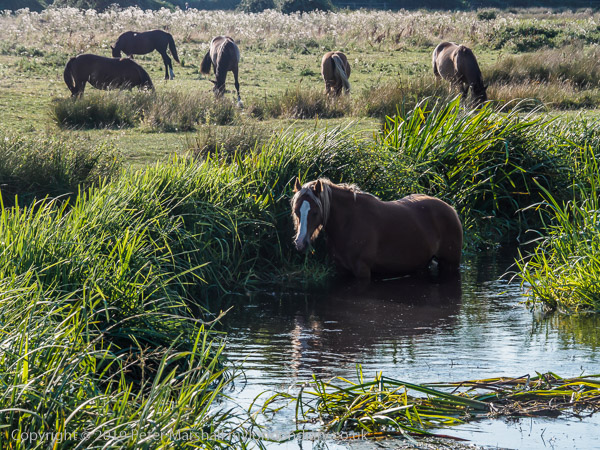
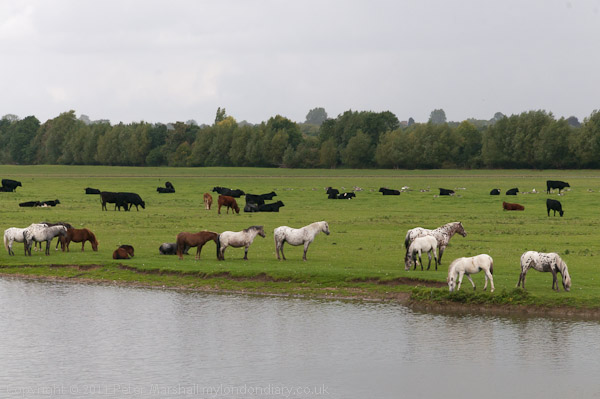
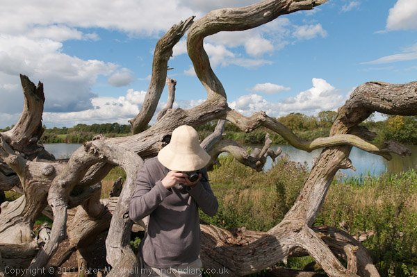
My kind of walk tends to go a quite a slow pace overall, stopping to look at and photograph things that take my interest, diverting from the path to look at what seem interesting features on the map, not worrying about getting any particular distance. But of course outside the city there are certain practicalities about finding a bus stop or station from where you can get home. My companions are usually rather more heading for the goal, and you will see the backs of two figures in the middle distance in some of my pictures, though not me running after them to catch up.

Some dead trees provided a useful seat on which to eat our sandwiches, and it was now warm in the sun

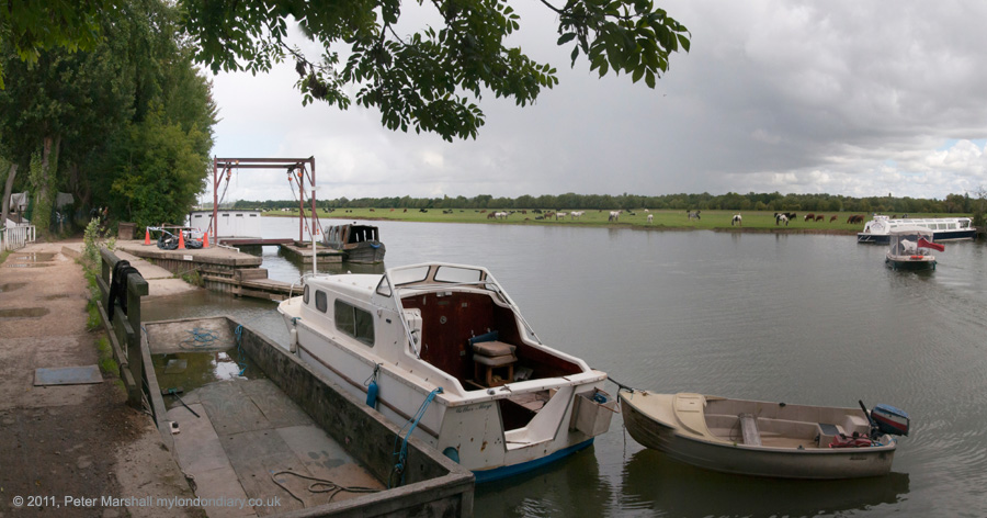
But at least this was a fairly short walk, and we did have time to look around Eynsham, a large village with around five pubs and a post office, as well as a heritage trail around the extensive former abbey grounds which we did around half of. The others were also keen to look for traces of the former railway, an extremely thirst-making and largely fruitless task, serving largely as a reminder of how short-sighted we were in abandoning way-leaves on what might by now have seemed a very suitable route for lightweight community transport.

The final picture was taken from the top of the bus on my way home as it went over Swinford Bridge, with a view along the Thames to Eynsham Lock. The bridge is a local traffic bottleneck, with long queues at the rush hour holding up traffic for around 20 minutes or more as motorists have to stop to pay the toll. Although the toll for cars is only 5p – cash only – that nets around £175,000 a year and, under the Act of Parliament granted in 1767 the income from it is free of income tax – which had not then been invented.

A long campaign (at least since 1905) by users continues to get the toll abolished, most recently with a petition to their local MP, a Mr David Cameron, who you think might be able to do something about it. But the owner of the bridge, who bought it in 2009 for £1.08 million remains anonymous, and could well be a considerable donor to Conservative party funds.

Thames Path: Oxford-Eynsham


FlickrFacebookMy London DiaryHull PhotosLea ValleyParis
London’s Industrial HeritageLondon Photos

All photographs on this page are copyright © Peter Marshall.
Contact me to buy prints or licence to reproduce.


On the Moor

Staines Aqueduct and water works

It was August Bank Holiday, the last Monday in the month, and I thought vaguely about going up to photograph the carnival in Notting Hill as I’ve done in many previous years. But only rather vaguely; I used to revel in the loud music and the crowds, feeling the ground and my whole body vibrating to the powerful bass, dancing along with the crowds by the sound systems and Mas bands.

River Colne, Staines Bypass from the sluice for the River Ash

But more recently, though I still get a thrill from carnival I also get tired rather quickly, and soon find myself wanting to go home or anywhere to enjoy some peace and quiet. And since I left regular employment to go full time into photography, Bank Holidays have lost the attraction they used to hold. I’m my own boss and can take any day off, and am more likely to be working on them and weekends than on weekdays.

Bank Holidays have often become times for us to go on overlong country walks, taking advantage of the earlier times we can get the lower ‘Super Off-peak Fares’ on our local trains to get to our starting point. But this time both Linda and myself were hobbling a little – I’d been on my feet too long taking photographs over the previous week and she was still suffering from a minor bike accident, and, as she reminded me, there was plenty to do in house and garden.

River Colne and Staines Moor

I can’t quite remember what that plenty was, or how much or probably little I did of it, but by mid-afternoon we were both of us ready to give up and go out for a short local walk. It turned out to be a little further than either of us anticipated, having forgotten quite how long taking the path we did would commit us to, and what we had intended to be a couple of miles turned out to be five, with the last two or three becoming rather painful. But at least it was a fine day.

Staines Moor is an oddly interesting place. Dead flat apart from the ant hills and a man-made lump once part of a rifle range. Continously grazed for at least a thousand years but not ploughed, a SSSI. Part of a number of areas of common land which used to surround Staines, though the part our house backs on to missed out on registration. There were fights and riots when parts here were enclosed, with rancour continuing into the early years of last century over the Lammas. And fights which still continue over gravel raising, which has taken place over much of the area – and gravel companies who own the moor and have worked around its edge certainly still have their eyes on it. It’s a curiously quiet place surrounded by noise from the M25, the Staines Bypass and aircraft climbing or descending to its neighbour Heathrow. A flat area with on two sides the long sheep-grazed flanks of giant reservoirs.

Our walk took us beside or past four of the rivers of Staines – and just briefly close to home by the other two, the Thames and Sweep’s Ditch. The four are all streams of the Colne – the main river, the Ash, Bonehead Ditch and the Wraysbury River. We also twice crossed the Staines Aqueduct built in the early years of the 20th centruy to take water from the Thames at Wraysbury to Staines and Hampton, still present though at least partly replaced by a 2.4m diameter tunnel in 1960-63. It was responsible for considerable flooding in Staines in 2014, overflowing into the Ash.

The moor is still grazed, though rather less intensively than it used to be. We live on the wrong side of Staines to have grazing rights, and in any case came too late to the area to register for ‘farrens’ in 1965. So none of those horses or cows in the pictures are ours.

Too many more pictures at Staines Moor.


All photographs on this and my other sites, unless otherwise stated, are taken by and copyright of Peter Marshall, and are available for reproduction or can be bought as prints.