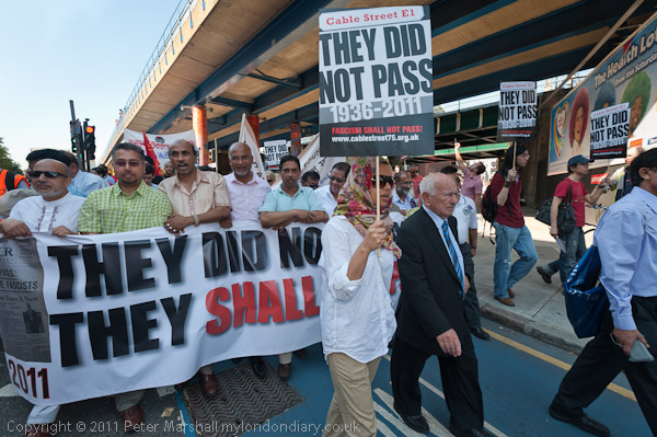
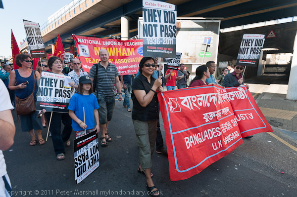
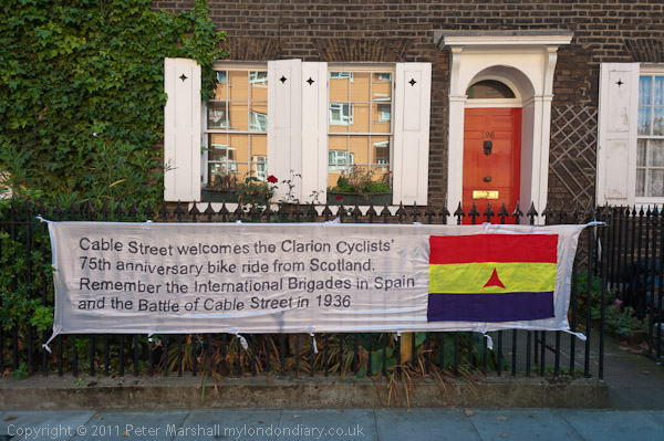
On Sunday 2 October 2011 a march and rally celebrated the 75th anniversary of the Battle of Cable St, when when Mosley’s fascists were prevented from marching into London’s largely Jewish East End.
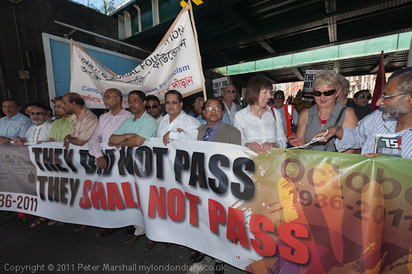
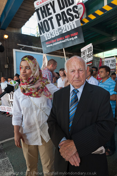
Over a thousand trade unionists and anti-fascists came to march along Cable St remembering the day, including the then TUC Deputy General Secretary Frances O’Grady, and the marchers were led by Max Levitas who had been at the battle in 1936, then aged 21, and remained active as an anti-fascist until his death in 2018, including serving for a total of 15 years as a Communist coucillor in Stepney.
At the rally close to the fine Cable Street mural we were reminded that official bodies including the Board of Deputies of British Jews had advised people to stay away from Mosley’s march and that the local opposition was organised largely by the Communist Party of Great Britain, led by Phil Piratin, who nine ears later became Communist MP for Mile End. As well as large number of local people, both Jews and others, thousands of others opposed to fascism flocked in to defend the area.
An estimated 1-300,000 people gathered at all the roads leading into the East End, determined to stop the march on October 4th by 3,000 uniformed fascists. The fascists waited outside the Royal Mint while 7,000 Metropolitan Police, including their entire mounted section and an autogiro (a primitive form of helicopter with an unpowered rotor) overhead, attempted to clear a route for them.
When the anti-fascists heard the police were trying to force a route along Cable Street, Irish dockers, Jewish tailors and other anti-fascists built three barricades across the street with thousands arriving to stop the police clearing the street. Eventually Mosley abandoned the march and took his supporters back towards Hyde Park.
There were around 175 people injured, men, women and police and around 150 arrests. Most were charged with obstructing the police and received fines, typically of £5, but some thought to be ringleaders were sentenced to three months hard labour.
The event raised public awareness of the British Union of Fascists and led to the passage of the 1936 Public Order Act which prohibited the wearing of political uniforms in public except for ceremonial occasions, outlawed paramilitary organisations, banned offensive weapons at public meetings and gave power to the police to impose conditions on marches and arrest unruly counter-demonstrators. It also allowed the Home Secretary to ban protests in a area where serious disorder was likely and made it an offence to use “insulting words likely to cause a breach of the peace” in public speeches.
Mosley continued to have many supporters in the East End after the battle, and Bethnal Green was one of his strongholds. There were gangs of fascist youths in Mile End who assaulted Jews on the street and smashed the windows of Jewish homes and shops.
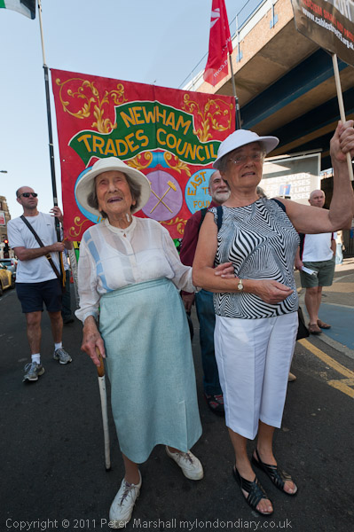
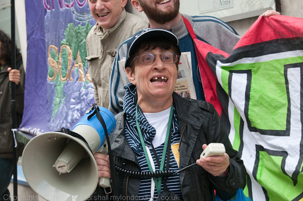
Levitas was not the only veteran of the 1936 battle at the event, and there were other veteran antifacists taking part too. The oldest was was 106 year old Hetty Bower, still looking extremely well, and walking with the aid of a stick. Rather younger at 94, Beattie Orwell was still looking very sprightly and had been at the battle at the age of 19.
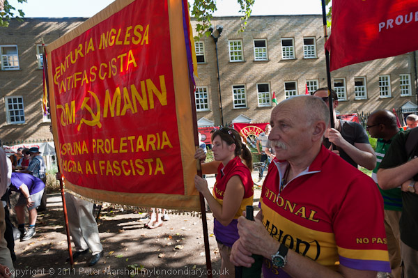
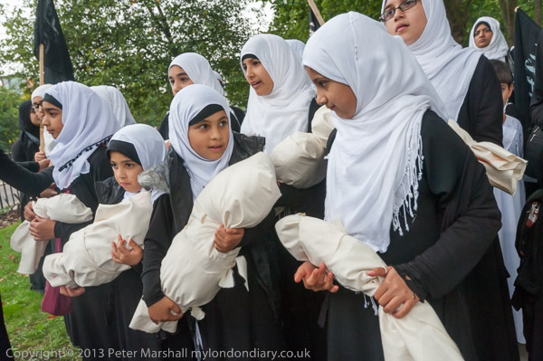
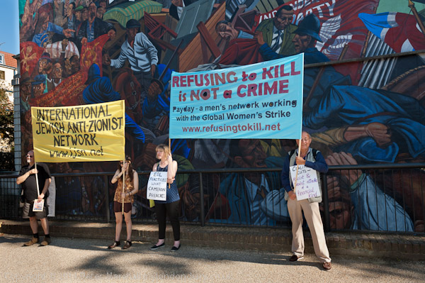
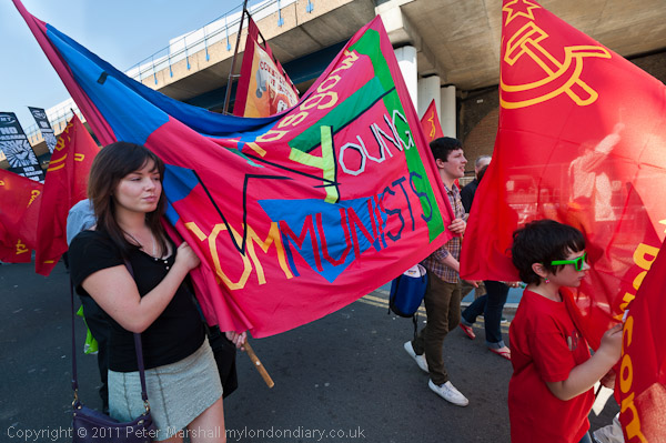
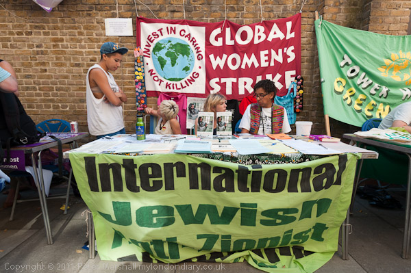
There were also banners from the Spanish Civil War which was also taking place 75 years ago, as well as those from many trade unions and political groups including those representing the newer communities of the area, with local activists reminding those present of the continuing need to fight against fascism and racism, and in particular the need to oppose the English Defence League, who just a few weeks earlier had attempted to march into Tower Hamlets but had been stopped by a popular mobilisation.
A short distance away in Grace Alley Wilton’s Music Hall, the oldest surviving Grand Music Hall in the world, was hosting a four day programme of events commemorating Cable St with various performances, book launches, exhibitions and stalls, street theatre and music along the alley outside.
Battle of Cable St – 75 Years.
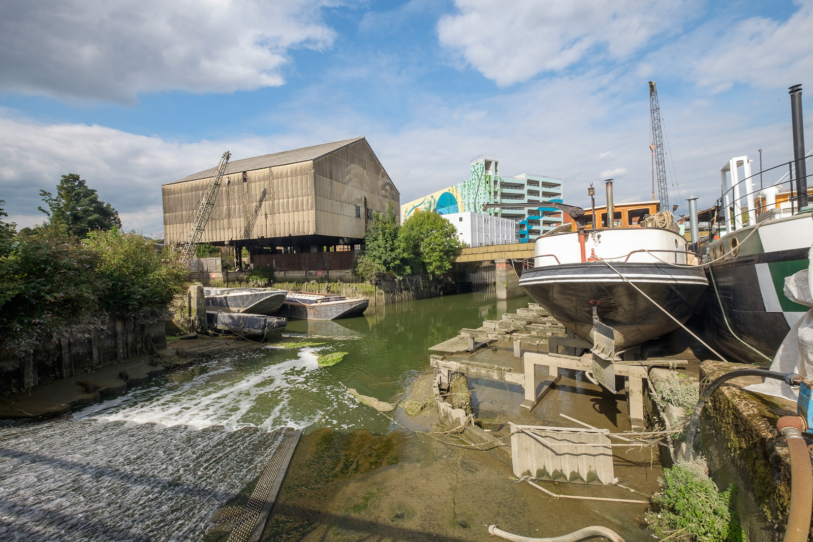
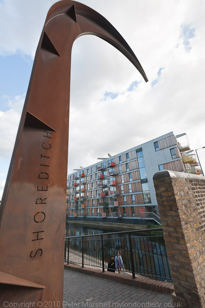
Fish Island, Olympic Views & Hackney Wick
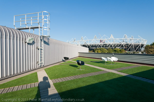
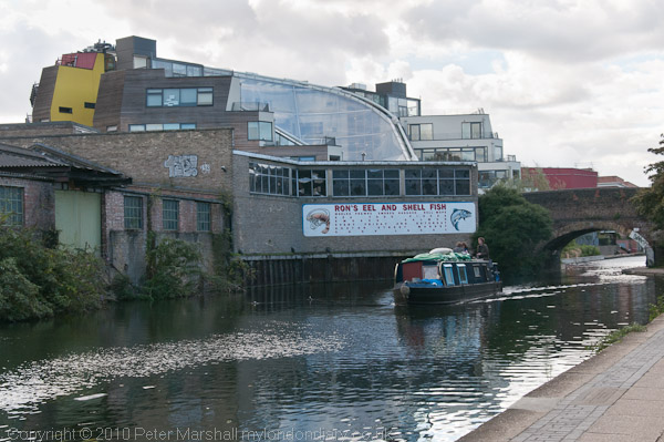
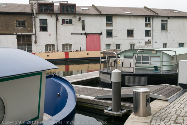
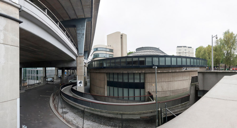
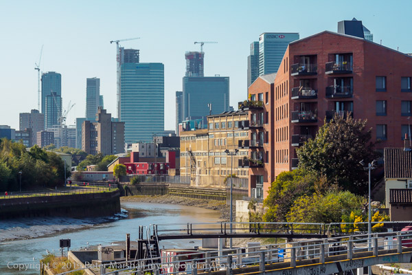
I left Cable Street and took a bus to Bethnal Green, then walked along the Roman Road and and on across the motorway to Fish Island, on my way to visit the gallery space on the top floor of Forman’s, salmon smokers and one of the few local businesses that seems to have done well out of the Olympics.
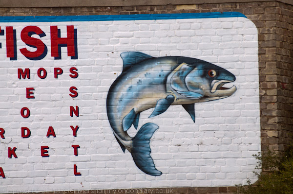
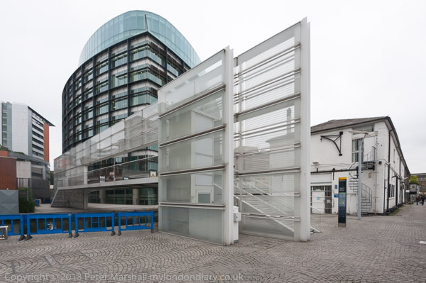
They had been moved from a factory more or less where the Olympic Stadium was being built to new modern premises on the opposite bank of the Lea navigation, designed and painted salmon pink to look like a lump of salmon and appropriately in the area known from its street names as Fish Island. As well as the smoking plant it also houses a restaurant and a large art space, with views over the Olympic site both from the front of the gallery and the adjoining roof terrace.
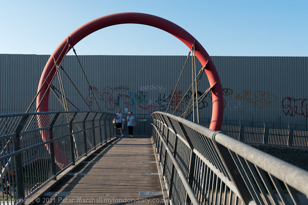
After viewing the exhibition and taking some photographs there I walked from Fish Island over the footbridge to Hackney Wick, visiting a lively street market there and then walking along the Lea Navigation towpath to the Westway and back into Hackney Wick for a bus back though the City and on the Waterloo.
More pictures at Fish Island, Olympic Views & Hackney Wick.