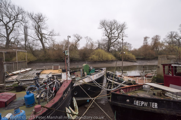
Old Ford, Hertford Union & Hackney

The short street which goes across the canal on Three Colts Bridge probably got its name from the pub, the Gunmakers Arms, which stood opposite it 438 Old Ford Road on the west side of St Stephens Road – and perhaps there were once some guns made nearby. In April 1915 the pub was taken over by the East London Federation of Suffragettes, led by Sylvia Pankhurst, a more militant and working class breakaway from Women’s Social and Political Union who turned it into a day nursery and clinic.
The Connaught Works here on Old Ford Road was a furniture factory and is said to date from the 1920’s though it looks earlier and was extended to the east around 20 years later.

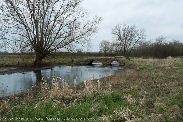
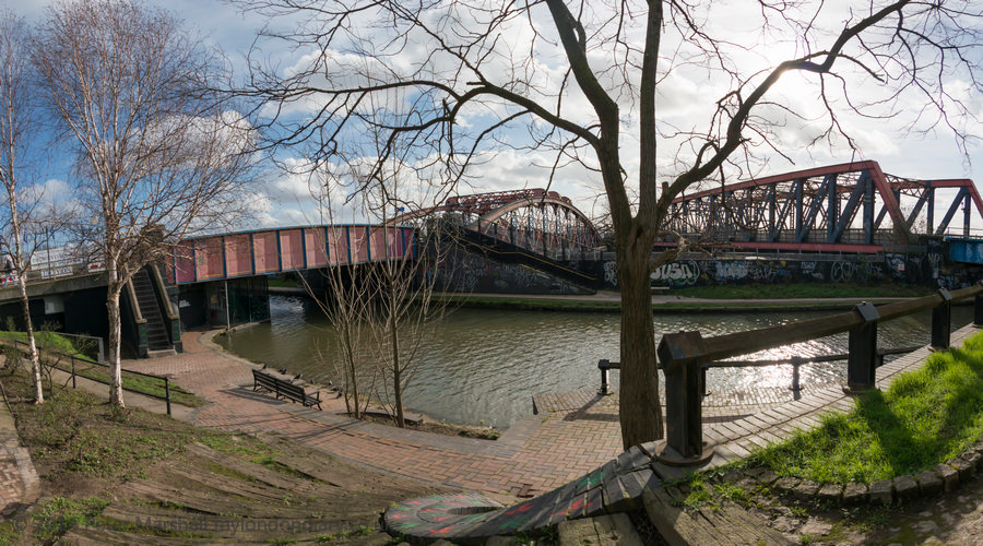
This early 19th century cast iron bridge presumably dates from the building of the Hertford Union Canal which opened in 1830. It is Grade II* listed Scheduled Ancient Monument. A pub, the Old Three Colts, was close by at 450 Old Ford Rd from 1792 or earlier but was I think demolished a few years after WW2. St Stephens Road used to be called Three Colts Street, possibly because this pub was more or less at its end.

The Three Colts Bridge leads to the Gunmakers Gate of Victoria Park, and I walked across the park to Victoria Park Road. This gothic fantasy of a building is now the Mossbourne Victoria Park Academy but was built in 1864-5 by Robert Lewis Roumieu as a French Protestant Hospital by a Huguenot charity, La Providence, who had decided to move out of earlier almshouses and hospital in Finsbury to a larger and more rural site here.
After WWII, La Providence moved to Rochester, selling the building to Roman Catholic nuns, the Faithful Companions of Jesus, and it reopened as the St Victoire Convent Girls’ Grammar School. When I made this picture it had become Cardinal Pole RC School and in 2014 was sold to be an academy school. The building is Grade II* listed.

These Tudor-style group of cottages are thought to have been built in 1847-8 to designs by George Wales who was the architect of Monger’s almshouses further down Church Crescent. The other houses between the two sites are more classical in design but also thought to be by Wales.
They are Grade II listed and still there and look now rather neater, with the middle property of the Tudor three having had its brickwork cleaned and looking considerably brighter. It also appears to lack the variation in colour of the darker brickwork which I find more attractive, though perhaps it looks more like when it was newly built.

This remarkable terrace at 20-54 Cassland Road overlooking Cassland Crescent is Grade II listed and was built from 1794 using funding from subscribers who made monthly payments over a period of four years, with the houses being allotted by ballot to a subscriber as each was built. All 18 were completed and occupied by 1801. This kind of co-operative funding of a development predates the earliest more conventional building societies.

The James Taylor warehouse was built in 1893 in Collent Road, which was described by the James Taylor gallery as “Formerly a Victorian factory, china warehouse, squat and film location.” Around ten years ago it was transformed with the facade and front building on the site being retained, along with a long wall along the north almost to Cresset Road as a part of a complex redevelopment with up to 10 storeys containing 69 flats, office space and an underground car park.
I made a few more exposures around Well St and I think my walk probably ended on neaby Mare Street, where I photographed the Crown pub (not online) and then probably caught a train from Hackney Central.
Clicking on any of the pictures will take you to a larger version in my album 1988 London Photos, from where you can browse other images in the album.