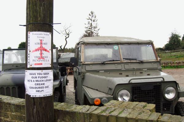
This post continues from my previous post on this walk by me on 1st August 1988, Coventry Cross, Gandhi, Graffiti, Drag Balls …

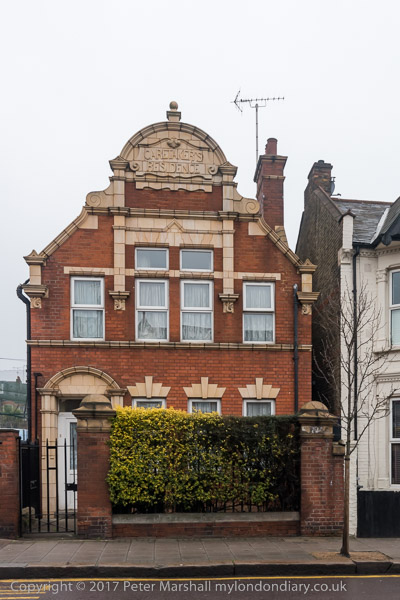
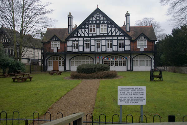
The buildings of the Diary and the Rose & Crown are still standing at the north end of Stroudley Walk where it meets the end of Bromley High St, but the closed diary became Hussains Convenience Store and then Jalalabad Grocers and half is now a mobile phone repair shop.
The Rose & Crown had opened here around 1720, as the Bowling Green Inn, though the building here is from the 1880s. It closed in 2007, was boarded up for some years before reopening around 2014 as a coffee bar and fast food restaurant.
This was formerly the north end of Devons Road, and a sign for this painted on the brickwork at the left of the pub had virtually disappeared when I made this picture in 1988. Later repainted it has now almost disappeared again.

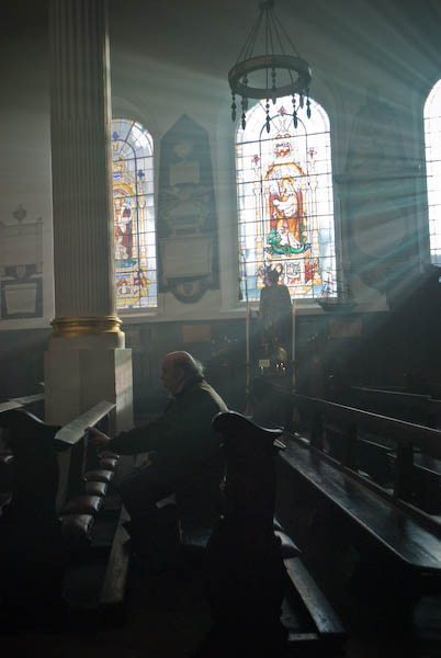
I wrote more about Kingsley Hall and the sisters Muriel and Doris Lester in the previous post on this walk. They used a legacy from their younger brother Kingsley to set up a house where they lived in relative poverty and served the neighbourhood as well as campaigning for peace and justice across the world. A plaque on the building records that Mahatma Gandhi lived in a small cabin here during his three month stay attending a government conference as a representative of the Indian National Congress. You can read and see more about his visit and the sisters on the Muriel Lester web site.
This image gives a better view of the whole building, which dates from 1928. It faces the Devons Estate, built for the London County Council in 1949 and described by Pevsner as being in their ‘pre-war manner, but with all the drabness of post-war austerity‘. Those moved from slums into its maisonettes and flats would have taken a far more positive view and the estate was solidly built and well-designed to the standards of the day.

Clyde House is still there at 46 Bruce Road, looking in rather better condition now. Built in 1884 it appears to have been built as a pair with its double-fronted neighbour at 48.

Sisters Muriel and Doris Lester helped to set up the Children’s House on Bruce Road 1923. Doris had trained as a teacher and they commissioned Charles Cowles-Voysey to design a building based on Maria Montessori’s ideal learning environment for young children. The school was opened in 1923 by H G Wells and is still a school, run by Tower Hamlets Council.
Inside there is a 12 metre mural painted in 1935 by Eve Garnett, the illustrator, artist and writer of the first children’s book about working class characters, The Family from One End Street, in 1937. There is now a campaign to save and restore the mural which is dirty and damaged and the web site is asking for donations to pay for this.

The Crossways Estate, built in 1970 was apparently at the time known as the ‘Pride of Bow’, for its three 25 storey towers and a low rise block, Holyhead Close, built over the railway line. Later it was more prosaically referred to as the ‘three flats.’
It was here that Grime developed in 2003, after Rinse FM squatted in a flat and broadcast illegally from here, and it was also where Dizzee Rascal and others grew up.
Like many council developments the area around the estate was hard to navigate, with walkways and roads often not shown on maps. My contact sheet says ‘Regent Square and gives grid reference 375827 for the first of the five images I made. The three towers were Hackworth Point, Mallard Point and Priestman Point and are on Rainhill Way.
And also like many council estates, it was subjected to a policy of ‘managed decline’ and by 1999 was in a very poor state, so bad its demolition was under consideration. Tower Hamlets decided to retain and refurbish the estate which passed to Swan Homes after a residents ballot in 2005. Its towers now refurbished and clad more brightly this is now the Bow Cross Estate.

The ‘three flats’ seen from Bow Road and Bow Church DLR station which opened on 31 August 1987.

Mornington Grove not only gets a mention in the London 5: East volume of Pevsner (p619) which describes these houses as “unusually grand for the area” but also has an extensive web site covering its history by Ken Ward, a resident in the street, from which this information is extracted – and which has far more detail. And it really is an interesting history – if you have the time do click the link and read more.
The land of a nursery here was bought by the Quaker meeting in Ratcliff in 1812, and houses on Mornington Road were developed by them from 1854-1889 – those on the east side in this picture being among the later development. Arthur Wellesley, the 1st Duke of Wellington was the son of the first Earl of Mornington, and the fourth Earl lived nearby on the north side of Bow Road.
Many of the houses in Mornington Road were compulsory purchased and demolished for the Whitehapel and Bow Railway (later the District Line) and others by World War II bombing of what had in 1939 been renamed Mornington Grove. Under the Quakers, at least 5/7th of the rents of the houses went to the support of the poor.
Most of the houses in the street, by then under multiple occupation, were sold by the Quakers to a housing association in 1980, becoming social housing, though many have now been sold off.
More from Bow in the next post from my walk in 1988. You can see larger versions of any of these pictures by clicking on the image which will take you to my album 1988 London Pictures from where you can browse.