Jubilee River & Taplow – 2014

Jubilee River & Taplow - 2014

Jubilee River & Taplow: For many years I went out roughly monthly for walks with members of my elder brother and sister’s families followed by a pub lunch. As we aged the walks got shorter, the number of us still living became fewer, and the walks have become simply lunches for the remaining four at pubs closer to home. But in 2014 we were still walking perhaps five or seven miles before lunch.

Jubilee River & Taplow - 2014

Thursday August 21st 2014 we parked at the ‘Oak and Saw’ in Taplow before setting off for a walk. As I wrote back then, the walk “took me to one of the places where the rich live, Taplow, just across the Thames from Maidenhead, and by the Jubilee River (the Maidenhead, Windsor and Eton Flood Alleviation Scheme) built to protect the riverside homes of billionaires from flooding, taking surges of the Thames after prolonged rain downstream to flood Old Windsor, Datchet, Wraysbury, Staines and Chertsey where most of us are considerably poorer.”

Jubilee River & Taplow - 2014
Oak and Saw, Taplow

We roughly followed the well-described walk from a link on the pub website of around 4.5 miles, though a few short deviations probably added a mile.

Jubilee River & Taplow - 2014
A detail of the gates painted by Sheila Horton at her home with fellow artist Brian Horton

Six months earlier there had been considerable flooding downriver as the Jubilee River protected the homes of the rich upstream, though the Environment Agency denied any connection, common sense says otherwise.

Jubilee River & Taplow - 2014
Walter de la Mare who lived in Hill House from 1925-39

The 7.2 mile long Jubilee River cost £110 million, with repairs found to be needed shortly after due to poor construction adding another £3.5 million – and considerable ongoing costs.

Jubilee River & Taplow - 2014
Skindles Hotel in Maidenhead, once notorious as a place for adulterous assignations.

The River Thames Scheme which would alleviate flooding in the downstream areas would cost more and although over £100 million has been spent on ‘development work’ but nothing has actually been done. It was due to be delivered by 2030 at a cost of £500 million but there seems to be no chance of either target being met.

Maidenhead Bridge
River Thames & Maidenhead Bridge
Jubilee River (Datchet, Old Windsor & Staines etc Flooding Scheme).

It was a pleasant walk and “Taplow seems a nice village, and though I’m sure not everyone is filthy rich, certainly quite a few people there seemed to be from what we could see through their windows as we walked around. Its only a short distance to Maidenhead for the commute into London – or a drive along the M4, and there are many large businesses with their headquarters or large offices in the corridor west from Heathrow an easy drive away.”

And it ended with a pleasant meal and, for me as I no longer drive, a couple of decent pints of real ale.

Many more pictures on My London Diary at Jubilee River & Taplow.


Flickr – Facebook – My London Diary – Hull Photos – Lea Valley – Paris
London’s Industrial Heritage – London Photos

All photographs on this page are copyright © Peter Marshall.
Contact me to buy prints or licence to reproduce.
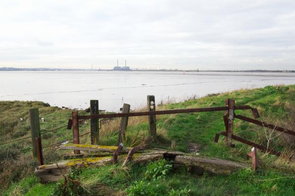
Hoo Dec 28th 2002

Back in 2002 the idea of expanding the UK’s airport capacity was under serious consideration and living near Heathrow we were concerned and campaigning against the building of yet another runway at an airport that even then was seriously past its best-before date. Not just because of local considerations but also because of the environmental threat posed by the expansion of air traffic.

It was a fight we won – and celebrated winning in 2010, only to have it put back on the table a couple of years later with a biased report, then taken off again by a court ruling. More recently this court decision has been put aside by what looks rather like a legal fudge, but in the current climate – and more importantly the impending climate catastrophe any expansion seems totally unthinkable.

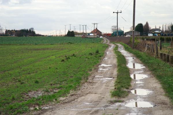
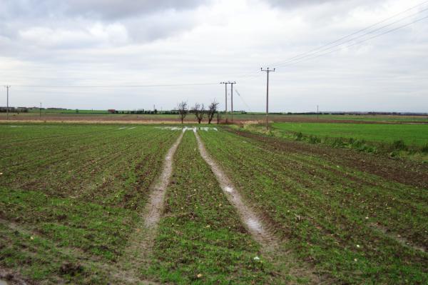
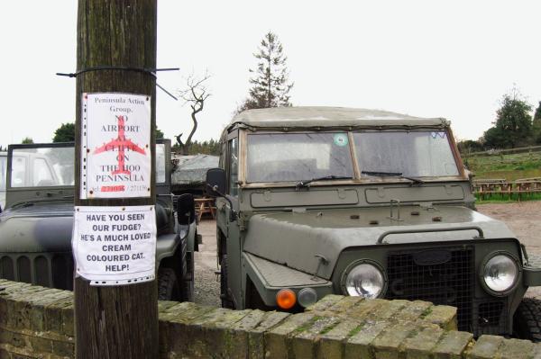
Back in 2002, there were other proposals for increasing air traffic, some more batty than others, also being put on the table, and one was for an airport on the Hoo peninsula in North Kent. We decided to go and take a look at the area as our long family after-Christmas walk. It was around 15 years since I’d photographed there and none of the others knew it.

Here’s my account written in 2002 (when I was still suffering from a shortage of capital letters) and all the pictures I posted on My London Diary then.


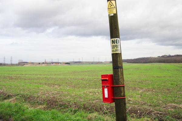
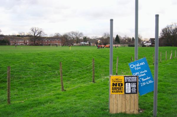
“we walked off some of christmas on the 28th, taking a look around Cliffe, proposed site for a new London airport. Probably not a serious proposition, just put up so that at some point the civil aviation lobby can say, ‘as we can’t possibly build at Cliffe, we will have to have another runway at Heathrow, and yet another terminal/vast shopping centre … Its long past time that we made airlines pay fuel duties and vat and tried actively to cut the growth in air travel, an incredibly wasteful method of transport with with vast subsidies that distort the world economy.

Higham
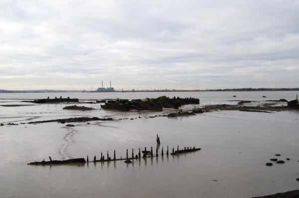
Shornmead Fort
 Thames path at Cliffe
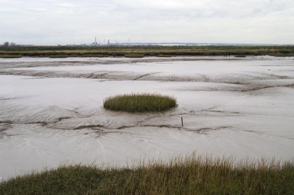
Thames at Cliffe
Creek at Cliffe
Cliffe
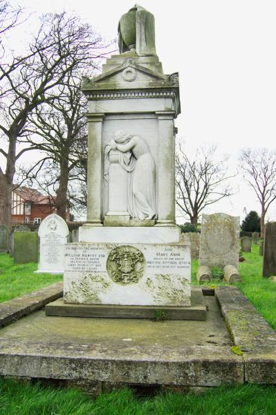
Cliffe churchyard
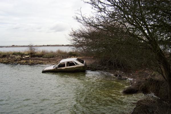
Near Cliffe
Near Cliffe
Near Cliffe
Near Cliffe
Near Cliffe
Higham
Higham station

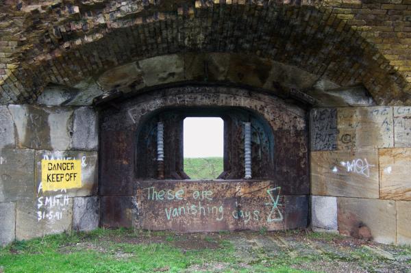
These pictures were among the first that I took with my first serious digital camera, a 6Mp Nikon D100 DSLR, which I had got only a couple of weeks earlier. I’m not sure why I didn’t post more of the roughly 100 pictures I took, or for that matter why I chose these particular group other than that some of them have posters opposing an airport being built here.

At the time I only had one Nikon fit lens, a mid range zoom, I think something like a 24-80mm, which, given the DX format sensor gave the equivalent of 36-120mm.


All photographs on this and my other sites, unless otherwise stated, are taken by and copyright of Peter Marshall, and are available for reproduction or can be bought as prints.