Regents Park & Beckton Alp – 2008: On Wednesday 30 January 2008 I took two walks in London. The first took me to Regents Park around noon, but I can remember nothing about it – all I have are the pictures that I took with their EXIF time stamps. But I was soon the Tube and the DLR, taking some pictures on my way to Beckton, a visit I wrote about on My London Diary and I’ll reproduce that account below. But first some pictures from Regents Park.
Regents Park, Park Square & Park Crescent
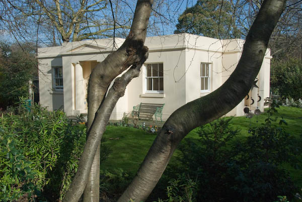
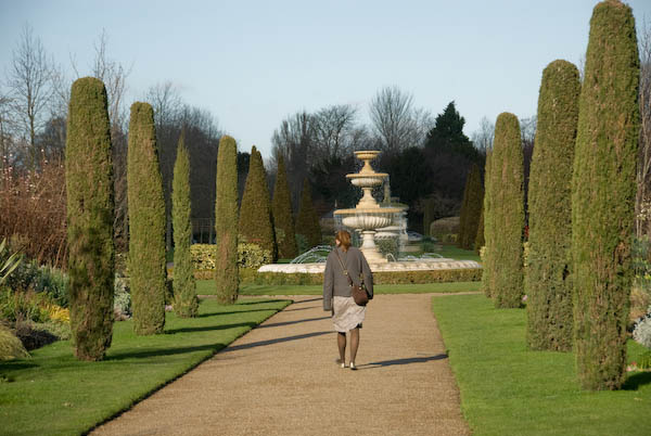
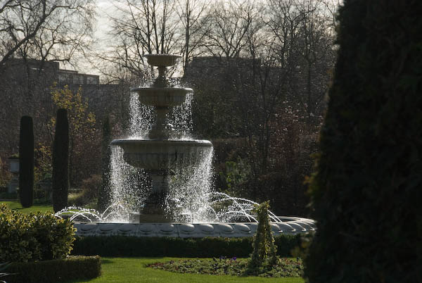

More pictures at Regents Park, Park Square & Park Crescent.
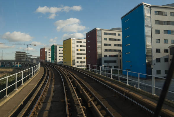
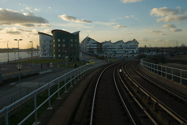
Beckton Alp and DLR Beckton Branch
Beckton, Newham
So on Jan 30 as it was a rather nice day I took a walk in the alps, or rather the singular alp that London has on offer, at Beckton. Theoretically there are two, but the other is more of a pimple, while the northern alp is 36 metres high.

The gasworks started by Simon Adam Beck on agricultural land in 1868 became the largest in Europe, but closed down in 1967. The LDDC bulldozed all of the rubbish from the site into the two mounds, put a 2m capping, mainly of clay on top, and the larger one became a dry ski slope in 1989.
Despite the odd landslide the ski slope continued in use until 2001, and there were then plans for a ‘Snowdome’ with real snow on the site. But the developer went bust, leaving the site in a dangerous condition with some exposed waste – which includes various nasty chemicals – acids, volatile hydrocarbons – including carcinogens such as benzene, cyanides.

Meanwhile the LDDC had faded away, having done its job of diverting large amounts of public wealth into private pockets, and had handed its problems to the local authority – in this instance, Newham, although the ski slope area is owned by Cresney who have had various ideas, including a possible hotel development on part of the site. It was also one of the shortlisted sites for a large scale artwork in the Channel 4 Big Art project to be shown in April 2008. [Antony Gormley’s plan for the site was never realised.]

Although there is still access to the public open space around the alp, the ski slope site and the top of the alp is surrounded by a large fence. However there was a rather convenient hole in this, and since there was no notice telling me to keep out – and a very well-worn path on the other side I went through it.

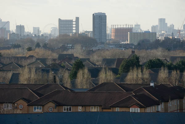
I carefully made my way to the summit to enjoy the views, before continuing my walk along the northern outfall sewer and then down along various paths through East Beckton to Manor Way and the Gallions Roundabout, where I took my life into my hands to dash across Royal Docks Way to the DLR station
[You can read more detail about the Beckton Alp in a 2023 post ‘What’s in the Beckton Alp‘ on the Reimagining Waste Landscapes site.]
More pictures on My London Diary at Beckton Alp and DLR.
Flickr – Facebook – My London Diary – Hull Photos – Lea Valley – Paris
London’s Industrial Heritage – London Photos
All photographs on this page are copyright © Peter Marshall.
Contact me to buy prints or licence to reproduce.