Canning Town Walk (2007): 7

7 Royal Victoria Docks from the footbridge

From the top of the bridge there is a splendid view in all directions. Starting at the ExCeL centre and moving clockwise we see:

  • ExCel, standing for Exhibition Centre London. This was an LDDC idea, but not completed and opened until 2000. It has attracted many hotels to the area – including the floating Sunborn Yacht hotel.
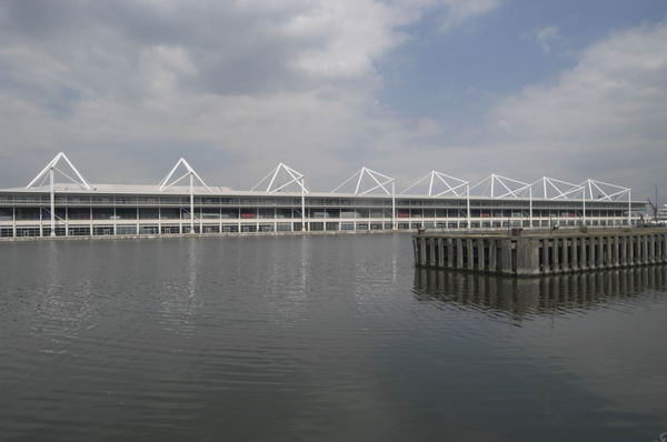
Canning Town Walk (2007): 7 Royal Victoria Docks from the footbridge
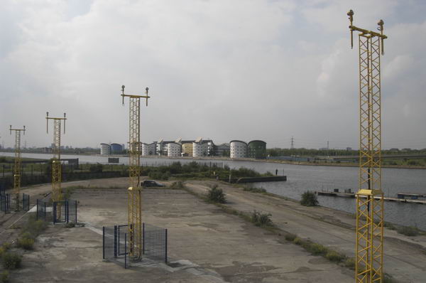
  • In the distance, you can see East London University, one of the developments on the Royal Albert Dock, which is worth a visit of its own, particularly for the group of cylindrical student residences, looking rather like oil storage tanks.
Canning Town Walk (2007): 7 Royal Victoria Docks from the footbridge
  • East London University and flight path beacons for City Airport, King George V Dock, North Woolwich
Canning Town Walk (2007): 7 Royal Victoria Docks from the footbridge
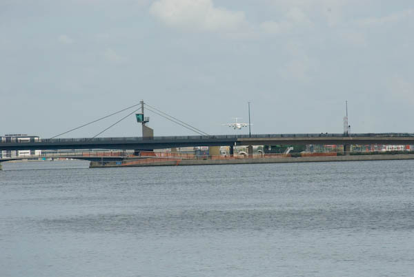
  • Closer than that, spanning the area and separating the Royal Victoria Docks from the two later Royal Albert and King George V docks is the Connaught Crossing, completed in 1990.
Canning Town Walk (2007): 7 Royal Victoria Docks from the footbridge
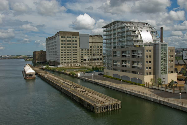
Millennium Mills and Eastern Quay
  • The large area on the right of the dock, including the area of water off from the main dock and the large bulk of Millennium Mills (built for Spillers flour in 1933) is the Silvertown Quays site, a £1.5 billion development that got planning permission in May 2007. This includes conversion of the mills into flats, 5,000 new homes, various community facilities, a lively town centre for Silvertown and the Biota! Project, a large aquarium designed by Terry Farrell & Partners for London Zoo. (though we don’t expect it to be anything like as good as The Deep in Hull!)
  • Close to the bridge is Eastern Quay (2003 Gardner Stewart Architects), constructed with a steel frame and is one of the first residential apartment blocks in the United Kingdom to have fully-glazed exterior walls. It uses advanced glazing technology to stop residents getting fried.

The large development, mainly of fairly small houses is Brittania Village, which began in 1994 with a Peabody development of 85 homes. The LDDC then made a deal with Wimpey for 777 more, along with some limited community facilities, including a primary school, in 1995. The area was completed with a few more Peabody trust and East Thames Housing Group properties.

Canning Town Walk (2007): 7 Royal Victoria Docks from the footbridge

Walk or take the lift down to dock level at the south end of the bridge, and walk through the arch at the centre of the semi-circular ring of shops.

Here there is a plaque marking the opening of the West Silvertown Urban Village by the government minister Selwyn Gummer in 1996.

Turn left and then right at the roundabout with a tall chimney and walk down Mill Road to the main road (North Woolwich Road.)

The large chimney in the middle of the roundabout dates from the 1930s. At the southern end of Mill Road are some workers cottages which appear to date from around 1900.

Cross the main road to the south side, taking great care. A suitably placed pedestrian crossing is only in planning application stage! [There is now a light-controlled crossing for pedestrians and cyclists.]

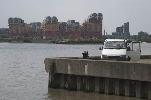
If you have plenty of time, you might like to make a detour to Lyle Park at this point, off Bradfield Road, a couple of hundred yards to the east. The park was presented to West Ham by Abraham Lyle & Son in 1924 and contains the fine metal gates from Harland & Wolff Ltd, ship builders, ship repairers and engineers in Woolwich Manor Way, Beckton from 1924-1972 (their actual shipyards were in Belfast and Govan.) The park also provides good views across the Thames to Greenwich Millenium Village and elsewhere.
Canning Town Walk (2007): 7 Royal Victoria Docks from the footbridge

This walk will continue in a later post with Part 8: North Woolwich Road.


You can read the whole document as I published it in 2007 beginning here and see more pictures I took in 2007 on My London Diary at canning town, victoria dock, silvertown west.


FlickrFacebookMy London DiaryHull PhotosLea ValleyParis
London’s Industrial HeritageLondon Photos

All photographs on this page are copyright © Peter Marshall.
Contact me to buy prints or licence to reproduce.
Regents Park & Beckton Alp – 2008

Regents Park & Beckton Alp – 2008: On Wednesday 30 January 2008 I took two walks in London. The first took me to Regents Park around noon, but I can remember nothing about it – all I have are the pictures that I took with their EXIF time stamps. But I was soon the Tube and the DLR, taking some pictures on my way to Beckton, a visit I wrote about on My London Diary and I’ll reproduce that account below. But first some pictures from Regents Park.


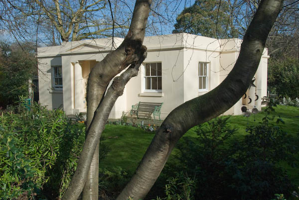
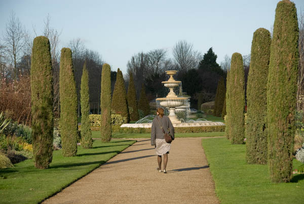
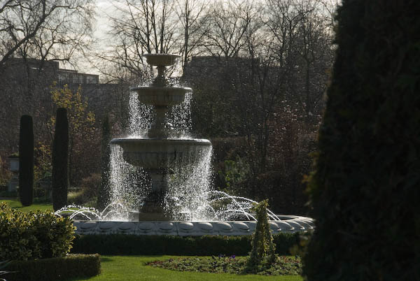
Regents Park, Park Square & Park Crescent

The gardens in Park Square are private, but it isn’t far to go to walk in Regents Park.

More pictures at Regents Park, Park Square & Park Crescent.


Beckton Alp and DLR Beckton Branch

Beckton, Newham

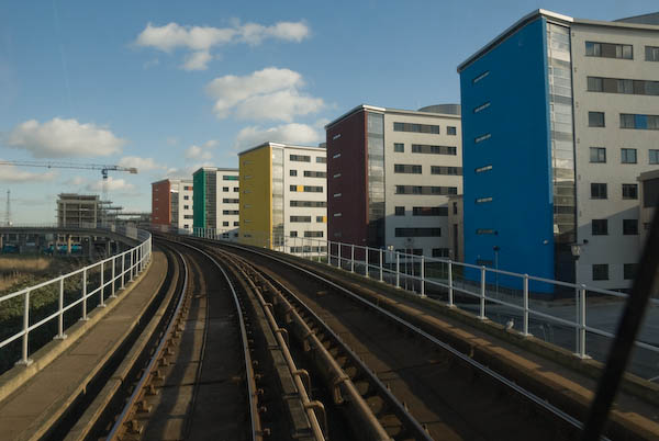
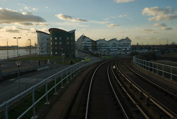
East London University from the DLR

So on Jan 30 as it was a rather nice day I took a walk in the alps, or rather the singular alp that London has on offer, at Beckton. Theoretically there are two, but the other is more of a pimple, while the northern alp is 36 metres high.

A strikingly decorated shed at Gallions Reach

The gasworks started by Simon Adam Beck on agricultural land in 1868 became the largest in Europe, but closed down in 1967. The LDDC bulldozed all of the rubbish from the site into the two mounds, put a 2m capping, mainly of clay on top, and the larger one became a dry ski slope in 1989.

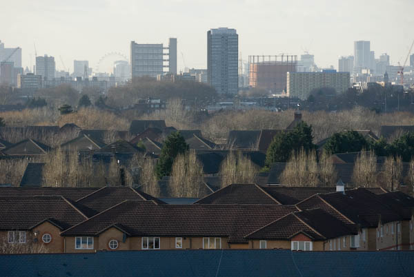
The London Eye is one of many London buildings easily seen from the slopes of the Beckton Alp

Despite the odd landslide the ski slope continued in use until 2001, and there were then plans for a ‘Snowdome’ with real snow on the site. But the developer went bust, leaving the site in a dangerous condition with some exposed waste – which includes various nasty chemicals – acids, volatile hydrocarbons – including carcinogens such as benzene, cyanides.

From the Beckton Alp, looking roughly east with the flood barrier on Barking Creek at left of picture. The gasholders are from the old Beckton works

Meanwhile the LDDC had faded away, having done its job of diverting large amounts of public wealth into private pockets, and had handed its problems to the local authority – in this instance, Newham, although the ski slope area is owned by Cresney who have had various ideas, including a possible hotel development on part of the site. It was also one of the shortlisted sites for a large scale artwork in the Channel 4 Big Art project to be shown in April 2008. [Antony Gormley’s plan for the site was never realised.]

The retail park, with East Beckton and the University of East London

Although there is still access to the public open space around the alp, the ski slope site and the top of the alp is surrounded by a large fence. However there was a rather convenient hole in this, and since there was no notice telling me to keep out – and a very well-worn path on the other side I went through it.

I carefully made my way to the summit to enjoy the views, before continuing my walk along the northern outfall sewer and then down along various paths through East Beckton to Manor Way and the Gallions Roundabout, where I took my life into my hands to dash across Royal Docks Way to the DLR station

[You can read more detail about the Beckton Alp in a 2023 post ‘What’s in the Beckton Alp‘ on the Reimagining Waste Landscapes site.]

More pictures on My London Diary at Beckton Alp and DLR.


FlickrFacebookMy London DiaryHull PhotosLea ValleyParis
London’s Industrial HeritageLondon Photos

All photographs on this page are copyright © Peter Marshall.
Contact me to buy prints or licence to reproduce.