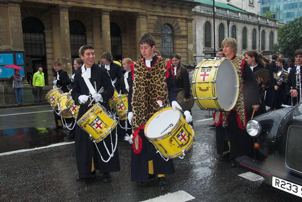
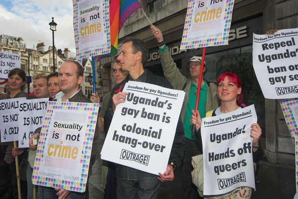
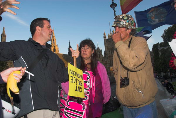
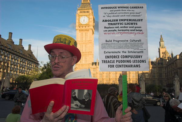
Cyprus Property, a Windmill and a Regatta – 2006

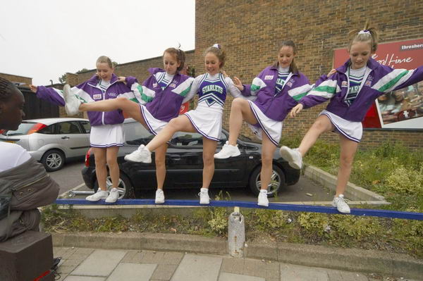
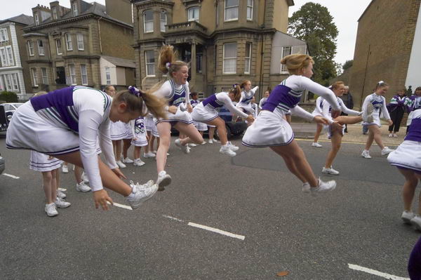
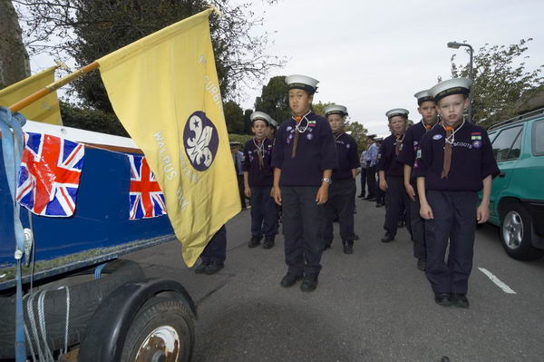
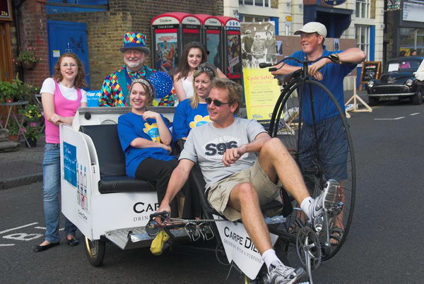
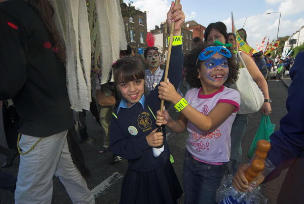
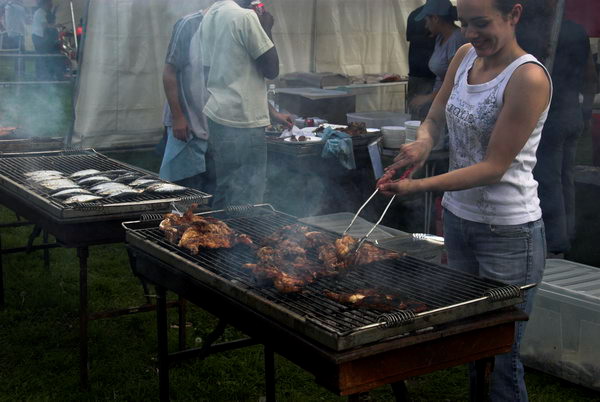
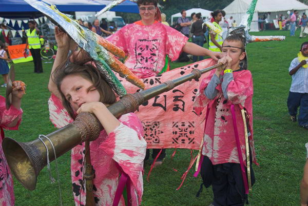
Cyprus Property, a Windmill and a Regatta: On Sunday July 9th 2006, after photographing a protest over property disputes in Cyprus I went to the Brixton Windmill Festival and then on to Kingston Regatta and walked to Hampton Court. I wrote at some length on My London Diary and you can read it below with more normal capitalisation and the odd other correction.


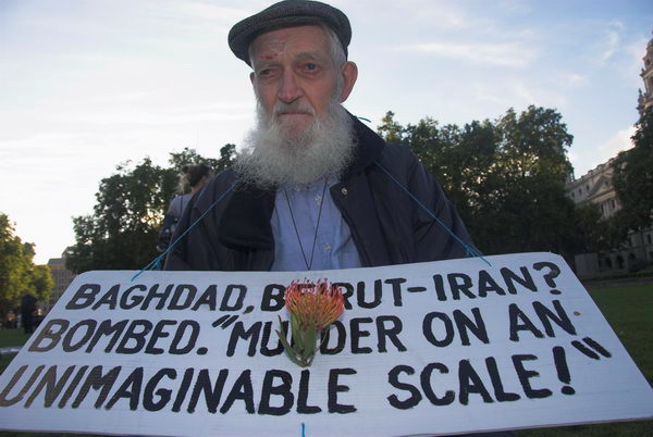
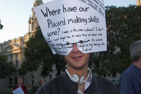
Cyprus Property March

Park Lane

Cyprus Property, a Windmill and a Regatta - 2006

Turkish and Greek Cypriots lived together on Cyprus for many years.Three years after the island became independent in 1960, fighting started and the Turkish Cypriots were thrown out of their official positions. There were many killed in the fighting in the following years, and in 1974 both Greek and Turkish troops became involved.

Since then the island has been effectively divided into two, with the Turkish Cypriots in Northern Cyprus. Many Turkish and Greek Cypriots had to leave their homes and move to the other side of the de facto border, taking over properties vacated by those moving in the opposite direction.

Cyprus Property, a Windmill and a Regatta - 2006

Recently the situation has become more complex, with Cyprus being admitted to the EU in 2004, despite its split status. The UN had set up a re-unification plan that was approved by the Turkish population, but rejected by the Greeks. Entry to the EU has however meant that Greek property claims are now being taken up in Southern Cyprus and can then be enforced in other EU countries, including the UK.

Cyprus Property, a Windmill and a Regatta - 2006

One such case concerns the Orams, an English couple who bought land and built a villa on it in Northern Cyprus. They bought the land from a Turkish Cypriot who had received it in exchange for property he had to leave in southern Cyprus in 1974. The land had belonged to a Greek Cypriot who took the matter to a court in southern Cyprus recently, obtaining an order against them that they should demolish the house and pay damages (which the Orams are appealing against.) Although the judgement cannot be enforced in northern Cyprus, as this is still under Turkish control, the lawyers are trying to enforce it in the UK courts against the UK assets of the Orams.

Cyprus Property, a Windmill and a Regatta - 2006

Settlement of the property issues requires Greek and Turkish Cypriots to come together produce a plan for peace in the divided country. It would then be possible for a suitable property commission – such as that already set up under the advice of the EU in northern Cyprus – to work through all the cases.

Cyprus Property, a Windmill and a Regatta - 2006

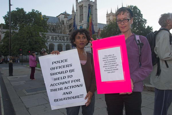
The marchers were asking for the support of the British government in refusing to accept the decision of the Cyprus court on ‘public policy’ grounds, and to make further attempts to establish a proper peace plan that would allow proper resolution of property and other disputes in the island.

[Following a series cases with appeals to the the High Court, the European Court of Justice, and back to the UK Appeal Court, the Orams lost their case and apparently abandoned their property in Cyprus in 2010. Property issues in Cyprus remain in a mess but are reported to be moving very slowly towards an amnesty in 2026.]

More pictures on My London Diary.


Brixton Windmill Festival, 2006

Blenheim Gardens, Brixton

Cyprus Property, a Windmill and a Regatta - 2006

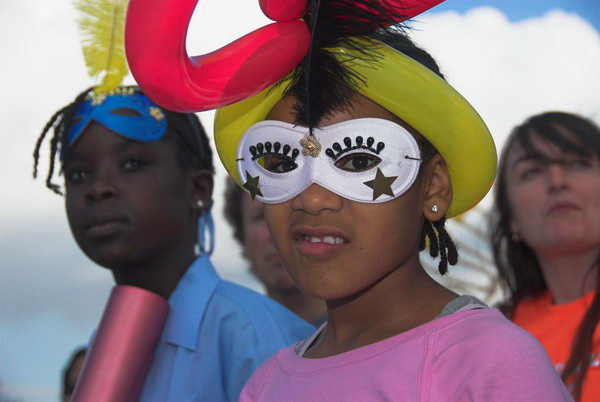
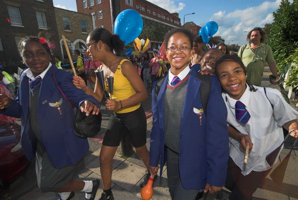
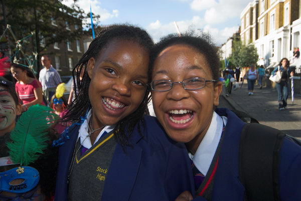
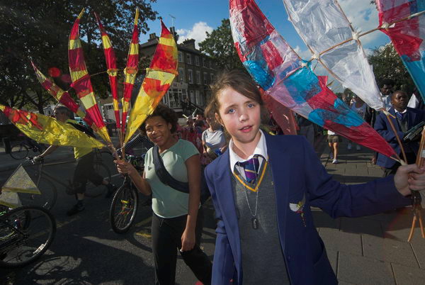
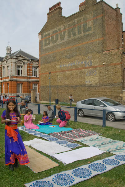
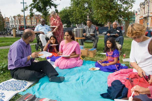
The Brixton Windmill Festival wasn’t music at the well-known pub, but at the real windmill 50 yards further on, built by a Mr Ashby many years ago to take advantage of its hilltop site to get the energy to grind his corn.

A local choir sang with spirit performing Amazing Grace as a tribute to those killed and injured on in the London Bombings of 7 July 2005

When I first visited around 30 years ago it had been recently restored by the GLC and I climbed up the rather rickety ladder holding the small occupant of the pushchair I had taken with me for a view of the surroundings. Since then it has been vandalised and partly restored, and though it’s still an impressive site, you are only allowed upstairs on very special occasions (and probably after signing a a form in triplicate saying you take your life entirely into your own hands.)

But it is still a useful site, a green patch in which to sit or stroll, some swings for kids, a cup of tea, and a reminder of past ages. There was some music at the festival, a group of local singers while I was there, as well as stalls from a number of local organisations, including the local history society, the credit union and also the police and others. I hope a few more people came after I left.

More pictures


Kingston Regatta and Hampton Court

Kingston-upon-Thames

It was a pleasant afternoon for a walk by the Thames, and although the shopping streets of the town were hot and bothered as usual, once out on the bridge it was a different world. the river itself was rather busier than usual, with over half its width buoyed off for the regatta, with pairs and trios of boats being stroked lustily downstream chased by umpires in powered catamarans.

I walked past the regatta enclosure and stood a few minutes watching by the bank before continuing along the riverside path. The start and marshalling area were a little more interesting as the officials tried to sort out the various teams, heats and finals. There were quite a few grammar, not to mention Eton and a few other posh schools, but not a single comprehensive or secondary mod while I was in earshot.

Island home

It turned out to be a rather longer walk to Hampton Court than I’d imagined (for once I’d not bothered with a map) and I was tired [and late] when I got to the river exit from the flower show.

There were a few people carrying rather straggly looking plants and a couple of photographers already lying in wait to photograph them, but I couldn’t really work up a great deal of interest. so I walked on and caught the bus home.

[I’d been keen to go to Kingston as I was hoping to get more local pictures for the show ‘Another London’ with Mike Seaborne and Paul Baldesare which was to be in Kingston Museum at the start of 2007. You can still see all the pictures by all three of us on-line at the Another London web site, including one from the Regatta.]

More pictures on My London Diary


FlickrFacebookMy London DiaryHull PhotosLea ValleyParis
London’s Industrial HeritageLondon Photos

All photographs on this page are copyright © Peter Marshall.
Contact me to buy prints or licence to reproduce.

Tour de France, More Cyclists & Flowers – 2007

Tour de France, More Cyclists & Flowers: On Sunday 8th July 2007 I began work in Woolwich where briefly cyclists flashed past me in the Tour de France, a few minutes from the start in Greenwich. From there I went to Hyde Park for another cycling event before meeting a friend to go to Hampton Court to photograph people leaving the flower show there.


Tour de Woolwich

Tour de France, Woolwich

Tour de France, More Cyclists & Flowers - 2007

After a time trial around London on Saturday, which I missed because I was at college, the Tour de France started for real at Greenwich on Sunday morning, after the cyclists had warmed up a little with a ride from central London.

Tour de France, More Cyclists & Flowers - 2007

I decided I’d like to see the real race, and chose Woolwich, just a few miles from the start as offering some decent viewpoints and also the background of the Thames for at least some of my pictures. [Though not those of the Tour itself.]

Tour de France, More Cyclists & Flowers - 2007

I arrived an hour or so before the riders, and found there were already people by the roadside sitting and waiting, building up to a fair crowd by the time the race reached us around 8 minutes after the start.

Tour de France, More Cyclists & Flowers - 2007

From the time I first saw the riders in the distance to when the last rider passed was 28 seconds, so I didn’t get a great deal of time to take pictures, although I soon ran out of space in the 21 raw shot buffer and had then to wait a second or so between shots.

Tour de France, More Cyclists & Flowers - 2007

Then the cyclists were gone, followed by car after car with spare bikes and it was time to go elsewhere

[I took a few pictures as I walked from Woolwich Arsenal station to the roadside point I had decided to view the race from, including of people waiting to see the race.

I was working with the Nikon D200, a great camera but with hindsight should have switched from RAW mode to jpeg when I would have been able to take many more frames as the cyclists flashed past. The pictures of the cyclists were made with my zoom telephoto lens at or close to its longest focal length at 200mm.

In retrospect perhaps I should not have pretended to be a sports photographer and gone instead for a single image looking down on whole the event from the hill above.]

More pictures on My London Diary: Tour de France, Woolwich


The Peoples’ Village

Hyde Park

Back in Hyde Park, another cycling event, the Peoples’ Village was taking place, with various events on a loop of track around the Serpentine and the southern edge of the park.

The marbles version of the Tour

There were also a number of stalls and a giant screen showing the Tour.

For a fiver, you could have your picture taken with a wax Lance Armstrong

I ate my sandwiches on the grass watching [the screen], though just as I sat down the peleton decided it was time for a ‘natural break’.

Peoples’ village


Hampton Court Flower Show

Hampton Court

From Hyde Park I made my way down Oxford St to meet Paul, and we took the train [from Waterloo, after a pint or two in a pub] to Hampton Court to take some pictures of people leaving the Hampton Court Flower Show, carrying plants of various colours and sizes.

More at Hampton Court Flower Show.


FlickrFacebookMy London DiaryHull PhotosLea ValleyParis
London’s Industrial HeritageLondon Photos

All photographs on this page are copyright © Peter Marshall.
Contact me to buy prints or licence to reproduce.


No M11 Link – Leyton 1994

No M11 Link: Although this was one of the major environmental direct action campaigns of the 1990s it was one I did not cover for several reasons. Protests were only a small part of my photography back then and Leyton was an inconvenient journey across London from my home. It was also a campaign which was being documented by a number of dedicated photographers on a largely full-time basis, while I was still working a full-time teaching job a two-hour journey away. But I did visit Claremont Road in Leyton and take a few pictures.

M11 Link Campaign, Claremont Rd, Leyton, Waltham Forest, 1994, 94-902-56

The M11 Link was first planned as a part of the grandiose London Ringways scheme of the 1960s but fortunately most of this was abandoned after the disastrous effects of relatively short sections such as the Westway in North Kensington became clear in the 1970s. But the ‘A12 Hackney to M11 link road‘ remained on the table despite various public inquiries from 1976 on, where local activists were vigorous in their opposition. It was a Tory government in 1989 with their ‘The Roads for Prosperity’ white paper that put it firmly back on the table and preparations for its construction began in 1993.

M11 Link Campaign, Claremont Rd, Leyton, Waltham Forest, 1994, 94-902-41

These involved the demolition of 263 properties along the route, some occupied by long-term residents but others by a wide range of newcomers who had moved in during the 1980s as planning blight affected the area – including many artists and squatters. When the campaign began in 1993, they were joined by “large numbers of anti-road campaigners from around the UK and beyond, attracted by the availability of free housing along the route” where properties had been compulsorily purchased and were empty.

M11 Link Campaign, Claremont Rd, Leyton, Waltham Forest, 1994, 94-902-42

The protesters made use of a wide variety of direct action methods to make construction more difficult, including sit-ins, sabotaging of equipment and materials, concreting themselves in tunnels and a fantastic network of actual nets in the sky between houses.

M11 Link Campaign, Claremont Rd, Leyton, Waltham Forest, 1994, 94-902-43

Police and security staff had to be employed in large numbers and had a very difficult job. The protesters also made great use of then new technology including Desktop Publishing and Fax machines to promote their activities, and achieved considerable news coverage in both the national newspapers and TV.

M11 Link Campaign, Claremont Rd, Leyton, Waltham Forest, 1994, 94-902-46

The main centre of the protest in 1994 was a small street in Leyton, Claremont Road, where all the houses were to be demolished and all but one of the original residents had been moved out and the houses were squatted by protesters who formed a vibrant community. As Wikipedia states, “The houses were painted with extravagant designs, both internally and externally, and sculptures erected in the road; the road became an artistic spectacle that one said “had to be seen to be believed”.

M11 Link Campaign, Claremont Rd, Leyton, Waltham Forest, 1994, 94-902-31

And it was this that I went to photograph in September 1994 and can be seen in the pictures here and on Flickr.

94-902-34-Edit
M11 Link Campaign, Claremont Rd, Leyton, Waltham Forest, 1994, 94-902-35

Two months later around 700 bailiffs and police in riot gear arrived on 28th November to evict the protesters. It took them several days due to the various obstacles – and a secret tunnel that enabled evicted protesters to return to the street. The bill for the police needed to protect the bailiffs came to over a million pounds. The total cost of evicting protesters along the whole route was £6 million.

M11 Link Campaign, Claremont Rd, Leyton, Waltham Forest, 1994, 94-903-51
M11 Link Campaign, Claremont Rd, Leyton, Waltham Forest, 1994, 94-903-53

Protests continued against the link road and slowed its progress and doubled its cost. You can read a good account of the Claremont Road eviction and the later ‘Battle of George Green’ on the green fuse web site.

The road was only finally opened in October 1999 as part of the A12. By this time it was an anachronism, partly because the M12 motorway scheme had been scrapped in 1994, but also because of the overall increase in traffic levels meant it was congested from the start. ” By 2014, the road had become the ninth most congested in the entire country.”

M11 Link Campaign, Claremont Rd, Leyton, Waltham Forest, 1994, 94-903-55

There are quite a few more pictures on Flickr – click on any of the above images and you can then go through the whole set. There are also eight panoramas from the site beginning here.


FlickrFacebookMy London DiaryHull PhotosLea ValleyParis
London’s Industrial HeritageLondon Photos

All photographs on this page are copyright © Peter Marshall.
Contact me to buy prints or licence to reproduce.


Spain & Pride – 2009

Spain & Pride: A few days ago I watched online what was apparently the first full UK showing of Basilio Martín Patino’s 1974 film ‘Caudillo‘, produced in secret in Spain while Franco was still in power.

It’s a powerful documentary on the Spanish Civil War of 1936-9 and the rise of Franco, not surprisingly rather ragged around the edges, with some poor sound and seriously deficient subtitles but with an incredible amount of contemporary footage from both sides of the war.

It made me aware again of the terrible failure of Britain along with the other non-fascist powers to support the Spanish government and of the bravery of many thousands of individuals on the left here and elsewhere defy their governments and go to fight for freedom. Until 31st July 2026 you can still watch the Sands Films presentation of Caudillo here. There are some short sections from the over two hour-long film on You Tube.

Back on 4th July 2009 I attended the annual International Brigade Commemoration at Jubilee Gardens in London, rushing away from Pride London to so.


International Brigade Commemoration

Jubilee Gardens

Spain & Pride - 2009
In 2009 there where are still a few alive who had gone to Spain – Lou Kenton, now 101, was an ambulance driver.

This month, July 2026, is the 100th anniversary of the start of the Spanish Civil War and this commemoration in 2009 was 70 years after it ended. As I commented, “Every year there are fewer and fewer of those who went to Spain to fight or work in the medical services, all now in their 90s or older. And every year a list of those who have died in the past year. “

Spain & Pride - 2009

Sam Lesser remembers Jack Jones, one of the great men of the twentieth century who had died in the previous year.

Spain & Pride - 2009

Wreaths came from the Spanish Ambassador, the Catalonian representative and others

Spain & Pride - 2009

There were women who went as well as men. While our politicians stood to one side and let Germany and Italy join the fight against the elected government of Spain and much of the Spanish people, many ordinary working people supported the Republic, particularly the communists and anarchists. Over 40,000 went to fight, mainly in the International Brigades and a further 10,000 as civilians, mainly as nurses and other medical staff.

Spain & Pride - 2009

The only two nations to support the Republican cause were Mexico and the Soviet Union, with Stalin sending large amounts of weapons – though many promised failed to arrive and others were antiquated.

But it was Stalin and the communists his advisers controlled who scuppered the chances of a Republican victory by attacking, imprisoning and disbanding the other groups successfully opposing Franco’s forces, freeing the poor to take over the land. A real revolution was anathema to Stalin who feared it might give his peasants ideas.

The consequence of losing the war were dire for the Spanish people (except the Catholic Church and the wealthy) with many years of repression and dictatorship – and for much of the world as it led to the Second World War.

More at International Brigade Commemoration.


Pride London 2009

Baker St to Trafalgar Square

Spain & Pride - 2009
HM Prison Service: “Banged to Rights”

Earlier in the day I had photographed the 2009 Pride London March. I commented “Things have changed pretty dramatically over those 15 or more years [since I first attended], and Pride is largely a very different event, much more of a corporate than a personal or political one. Of course the LGBT community being what it is there is still plenty of room for the unusual, the eccentric,the flamboyant, the spectacle. And even, though perhaps rather more at the edges, the political.”

Outrage protest the ban on gay marriage – Sarah Brown was on the march

Here I’ll post a few of the more political, but I think the pictures on My London Diary cover the whole range described above.

Stonewall
Amnesty International
International Union of Sex Workers

And there was the usual small group of Christian bigots who had come to share their carefully selected texts

The United Protestant Council “annual witness against New Sodom, parading its shame on the streets of London.”

Many more pictures on My London Diary: Pride London.


FlickrFacebookMy London DiaryHull PhotosLea ValleyParis
London’s Industrial HeritageLondon Photos

All photographs on this page are copyright © Peter Marshall.
Contact me to buy prints or licence to reproduce.


London Pride 2004

London Pride: I think the Pride March on Saturday 3rd July 2004 was around the 12th Pride I had photographed and I was certainly beginning to feel it had lost the edge it had in the earlier years. It’s now some years since I bothered to apply for accreditation to cover the annual event, and didn’t bother to apply for one of the armbands my union were offering. It’s perhaps ten years since I last went.

London Pride 2004

I used to enjoy photographing the annual event, and you can see many of my pictures from those years on the Internet Archive and in the Café Royal Books publication ‘Pride Not Profit – London 1993–2000‘. I had a small show of some of the work at the Museum of London and a larger selection was projected as part of the Museum’s travelling show ‘Queer is Here‘ which began with a Museum showing in 2006. You can see the full set from this show online at Ten Years of Pride.

London Pride 2004

For the last few years I’ve intended to go to Soho to cover the buzz there after the march, but somehow I’ve always found other things to do. But perhaps I’ll be there tomorrow, if only to meet up with some old friends and have a drink together.

London Pride 2004

Anyway, here is what I wrote back in 2004 and some of the pictures I took on the march from Hyde Park. For some reason I can’t now remember I left the march to go to Paternoster Square close to St Paul’s Cathedral and took a few pictures of the buildings there before returning to the Pride Festival in Trafalgar Square.


London Pride

London Pride 2004

Pride is certainly not what it used to be. It’s lost the edge which came from protest and is now simply a parade, recognised by Ken [Livingstone, Mayor of London] and the police.

London Pride 2004

Good time people out for a good time rather than a crusade for a cause, although there were still a few banners on display against remaining areas of discrimination.

London Pride 2004

This years event also seemed rather small, considerably less than the press estimates before the event, although quite a few more came to the rally in Trafalgar Square.

London Pride 2004
The event stewards took a dim view of people getting in the fountains, but the two women at right entertained the crowd a little, as well as keeping some of us photographers amused. “Oh God”, said one of them, “My mum will see these pictures”. The pose here is right out of a Donald McGill postcard, but I’ll leave the punch line to you..

I don’t know how long they stayed, as the speeches were platitudinous beyond belief. Ken welcomed us to his square in one of the better attempts, and generally received an enthusiastic response, although there were quite a few voices of dissent and more who were taking very little interest.


Here are a few pictures here which I didn’t upload in 2004:

London Pride 2004
London Pride 2004
London Pride 2004

There are also more online on My London Diary, beginning here.


FlickrFacebookMy London DiaryHull PhotosLea ValleyParis
London’s Industrial HeritageLondon Photos

All photographs on this page are copyright © Peter Marshall.
Contact me to buy prints or licence to reproduce.


Canning Town Walk (2007): 9

9 Thames Barrier Park

The children’s fun area is a nice idea, [32 computer controlled fountains] but this works better at Parc Citroen in Paris, and hasn’t stood up to British weather or use. We just don’t have the same level of upkeep in Newham as does the City of Paris. Competitions such as was carried out for this are a good idea, but only if the judges think rather more about what the result will look like in ten years time rather than on the sketches. It is also unfortunately not possible to enter the Green Dock at the ground level at the north end and walk through it (there is still an entry at the south end.)

[The park is managed by the Greater London Authority and was built on one of the most polluted sites in the country, the former PR Chemicals factory, which took years to decontaminate.]

The sides of the dock were lined by a metal fence with lower wires, which have currently been removed. In their place the fence is lined by normal street safety barriers, tied together with plastic bags. Although it may be effective, it is visually unacceptable and hopefully the fences are to be repaired and these removed.

The two buildings in the park have a Japanese feel. One usefully houses toilets and a café, while the other was erected by Newham in memory of the victims of war. Its undulating seating was intended to carry on the wave theme of the Green Dock, but is perhaps of more interest to skateboarders than for comfort.

Walk along the edge of the ‘Green Dock’ to the riverside.

The park gives an excellent view of the Thames Barrier. Silvertown was one of the areas to be flooded in 1953, though rather less disastrously than Canvey, although some 1130 homes here were flooded. It took until 1982 for the Thames Barrier to be completed. Estimates of how much longer it will remain effective with the sea level rise due to global warming vary widely, but certainly at the moment it is getting used rather more often than was envisaged.

Walk back along the other edge of the Green Dock to the cafe and/or the station.


It’s some years since I’ve been back to the park, and it would be interesting to see how it has changed over the years. Perhaps I’ll find time this summer.

This walk will continue in a later post with Part 10: Riverside which mainly looks at views from the DLR.

You can read the whole document as I published it in 2007 beginning here and see more pictures I took in 2007 on My London Diary at Canning Town, Victoria Dock, Silvertown West.


FlickrFacebookMy London DiaryHull PhotosLea ValleyParis
London’s Industrial HeritageLondon Photos

All photographs on this page are copyright © Peter Marshall.
Contact me to buy prints or licence to reproduce.

Canning Town Walk (2007): 8

8 North Woolwich Road

An elevated section of the Docklands Light Railway runs along the south side of North Woolwich Road. Opened in 2006, it currently runs to King George V station in North Woolwich, but tunnelling is in progress to take it under the Thames to Woolwich. [It opened in 2009]

Canning Town Walk (2007): 8 DLR under construction from Silvertown Way. 
DLR under construction from Silvertown Way – 2004. 

Turn left and walk east along North Woolwich Road; roughly 100 meters on is a site entrance which includes a monument to the Silvertown Explosion.

Canning Town Walk (2007): 8

The Brunner Mond chemical works opened here at Crescent Wharf in West Silvertown in 1893, producing first soda and then caustic soda. But by 1914 the works was idle, and the government needed a factory to purify TNT. This was known to be extremely dangerous and a process that should be carried out in a remote area, and not in this highly populated area such as this. Dr FA Freeth, Brunner Mond’s head chemist later made his views about the process clear:

It worked but was manifestly dangerous. At the end of every month we used to write to Silvertown to say that their plant would go up sooner or later.” But the Government, at a safe distance in Whitehall, decided that the risk was worth taking. It was the people of Silvertown who were, largely unwittingly, taking it.

Sooner or later” turned out to be Friday 19 January 1917 when a fire caused 50 tons of TNT to explode. They heard the bang in Cambridge and Guildford. Around 70,000 properties were damaged, costing £2.5 million. Over 70 people were killed (12 of the bodies were never found) and 400 injured. Because of war-time restrictions, it was 3 days before the news was in the papers.

This site is now under application for development as Minoco Wharf. In January 2005 the Mayor removed its safeguarded wharf status, which will allow more freedom in its development. [Renamed ‘Royal Wharf’ and recently completed it includes 3,385 new homes, a primary school, leisure facilities and retail and commercial office space.]

Canning Town Walk (2007): 8
Tate & Lyle’s Plaistow wharf

A little to the west is Peruvian Wharf, which includes the site of the old guano works and Tate & Lyle’s Plaistow wharf. (Tate & Lyle have consolidated their activities at Thames Refinery to the east in Silvertown.)

The application to develop this site, which still has safeguarded wharf status, went to public enquiry and was refused in 2006. There are further applications, mainly for industrial use. The best views of these sites are from the DLR. [The site was bought by the Port of London Authority in 2016 and part leased to for an aggregate wharf and concrete batching plant.]

Continue along North Woolwich Road and walk up the steps immediately behind Barrier Point into Barrier Park.

Canning Town Walk (2007): 8

Barrier Point residential development, architects Goddard Manton Partnership (they took some ideas from their earlier Pierhead Lock at West India Docks) is in two parts, the ‘Seven Steps’ garden apartments occupied in 2000, and the landmark tower completed in 2001. It provides 252 “concierged apartments” and attracted various awards, making it “the most decorated contemporary housing development” in Britain. It forms an impressive wall at right-angles to the Thames, with suitably maritime railings and decks, although these perhaps give it too much of a 1930s international modern feel. The tower, a shining white lighthouse, is a grand effect.


This walk will continue in a later post with Part 9: Barrier Park

You can read the whole document as I published it in 2007 beginning here and see more pictures I took in 2007 on My London Diary at Canning Town, Victoria Dock, Silvertown West.


FlickrFacebookMy London DiaryHull PhotosLea ValleyParis
London’s Industrial HeritageLondon Photos

All photographs on this page are copyright © Peter Marshall.
Contact me to buy prints or licence to reproduce.

Canning Town Walk (2007): 7

7 Royal Victoria Docks from the footbridge

From the top of the bridge there is a splendid view in all directions. Starting at the ExCeL centre and moving clockwise we see:

  • ExCel, standing for Exhibition Centre London. This was an LDDC idea, but not completed and opened until 2000. It has attracted many hotels to the area – including the floating Sunborn Yacht hotel.
Canning Town Walk (2007): 7 Royal Victoria Docks from the footbridge
  • In the distance, you can see East London University, one of the developments on the Royal Albert Dock, which is worth a visit of its own, particularly for the group of cylindrical student residences, looking rather like oil storage tanks.
Canning Town Walk (2007): 7 Royal Victoria Docks from the footbridge
  • East London University and flight path beacons for City Airport, King George V Dock, North Woolwich
Canning Town Walk (2007): 7 Royal Victoria Docks from the footbridge
  • Closer than that, spanning the area and separating the Royal Victoria Docks from the two later Royal Albert and King George V docks is the Connaught Crossing, completed in 1990.
Canning Town Walk (2007): 7 Royal Victoria Docks from the footbridge
Millennium Mills and Eastern Quay
  • The large area on the right of the dock, including the area of water off from the main dock and the large bulk of Millennium Mills (built for Spillers flour in 1933) is the Silvertown Quays site, a £1.5 billion development that got planning permission in May 2007. This includes conversion of the mills into flats, 5,000 new homes, various community facilities, a lively town centre for Silvertown and the Biota! Project, a large aquarium designed by Terry Farrell & Partners for London Zoo. (though we don’t expect it to be anything like as good as The Deep in Hull!)
  • Close to the bridge is Eastern Quay (2003 Gardner Stewart Architects), constructed with a steel frame and is one of the first residential apartment blocks in the United Kingdom to have fully-glazed exterior walls. It uses advanced glazing technology to stop residents getting fried.

The large development, mainly of fairly small houses is Brittania Village, which began in 1994 with a Peabody development of 85 homes. The LDDC then made a deal with Wimpey for 777 more, along with some limited community facilities, including a primary school, in 1995. The area was completed with a few more Peabody trust and East Thames Housing Group properties.

Canning Town Walk (2007): 7 Royal Victoria Docks from the footbridge

Walk or take the lift down to dock level at the south end of the bridge, and walk through the arch at the centre of the semi-circular ring of shops.

Here there is a plaque marking the opening of the West Silvertown Urban Village by the government minister Selwyn Gummer in 1996.

Turn left and then right at the roundabout with a tall chimney and walk down Mill Road to the main road (North Woolwich Road.)

The large chimney in the middle of the roundabout dates from the 1930s. At the southern end of Mill Road are some workers cottages which appear to date from around 1900.

Cross the main road to the south side, taking great care. A suitably placed pedestrian crossing is only in planning application stage! [There is now a light-controlled crossing for pedestrians and cyclists.]

If you have plenty of time, you might like to make a detour to Lyle Park at this point, off Bradfield Road, a couple of hundred yards to the east. The park was presented to West Ham by Abraham Lyle & Son in 1924 and contains the fine metal gates from Harland & Wolff Ltd, ship builders, ship repairers and engineers in Woolwich Manor Way, Beckton from 1924-1972 (their actual shipyards were in Belfast and Govan.) The park also provides good views across the Thames to Greenwich Millenium Village and elsewhere.

Canning Town Walk (2007): 7 Royal Victoria Docks from the footbridge

This walk will continue in a later post with Part 8: North Woolwich Road.


You can read the whole document as I published it in 2007 beginning here and see more pictures I took in 2007 on My London Diary at canning town, victoria dock, silvertown west.


FlickrFacebookMy London DiaryHull PhotosLea ValleyParis
London’s Industrial HeritageLondon Photos

All photographs on this page are copyright © Peter Marshall.
Contact me to buy prints or licence to reproduce.

Canning Town Walk (2007): 6

6 Excel and Royal Victoria Square

Walk along the covered walkway leading to the ExCeLcentre, passing some Victorian dock buildings on your right. At ExCeL, go to your right and down into the open square.

Canning Town Walk (2007): 6

6 Excel and Royal Victoria Square

On our right is a range of dock buildings, K Warehouse, built 1859, used for some years as a store for the Museum of London and now housing a restaurant. On our left is the ExCeL centre (Exhibition Centre London) used for various conferences and business events. [Including controversially every two years DSEi, the worlds largest arms fair, which attracts many protests.]

Canning Town Walk (2007): 6

6 Excel and Royal Victoria Square

W warehouse from 1883 was originally more or less on the dockside, which had a number of wide jetties coming out from it towards the centre of the main dock, more or less as far as the current waterline. Ships were moored on each side of these for loading and unloading. Probably most of the buildings on these were fairly simple and temporary, and the number of these bays changed over the years. The docks were given an extensive makeover in the 1930s and 40s, and also needed considerable work to repair war damage.

In later years, these jetties were removed and the dock narrowed, with larger warehouses by its edge.

The Royal Docks were at their busiest around 1960, but the decline after this was rapid. Cargo handling methods were rapidly changing, with containerisation and bulk handling techniques, and ships were getting larger.

Considerable investment was needed and the PLA rightly decided to make this at Tilbury. Traffic congestion was a major problem at the Royals (the 1930’s road improvements linked into London’s congested road system) while Tilbury had the prospect of excellent connections to the M25 and the rest of the expanding motorway system. It was also closer to the sea, and avoided a longer journey through relatively narrow channels upriver, with greater tidal limitations.

Weighbridge office, King George V Dock, Royal Albert Dock, Newham, 1984 84-7l-25

The Royal Docks closed in 1981, and a year or two later I photographed them as a ghost town. There were abandoned offices with half-drunk cups of tea, cobwebbed jackets hanging on hooks, paperwork and rubber stamps left on desks. [There are many pictures from that project on Flickr, in the albums 1984 London Photographs and 1984 Docklands Colour. I also published pictures from the project as The Deserted Royals and you can view an extensive preview online.]

Royal Victoria Square was developed by the GLA’s London Development Agency and opened by Ken Livingstone in 2001. It cost £3.5million. The fountains are apparently quite nice should they ever be working. Computer controlled and coloured by fibre optics to give a wave effect. Apparently.

Canning Town Walk (2007): 6

6 Excel and Royal Victoria Square

The square is at its best in bright sun, when the shadows of the closely planted trees create interesting effects, and the dark stone contrasts with the light paving. It is a pleasant place to sit and relax, although the modern hotel buildings hardly add to that pleasure.

Canning Town Walk (2007): 6

6 Excel and Royal Victoria Square

The ExCeL centre also looks better in sun, which adds shadows from its external spars, as well as a glow from its white surfaces, and brings out its geometries. The idea came from the LDDC, but it was not completed and opened until 2000. Its presence has attracted many hotels to the area – including the floating Sunborn Yacht hotel.

Walk down to the dockside, where deck hangs out over the water for a view of the bridge.

Canning Town Walk (2007): 6

6 Excel and Royal Victoria Square

The bridge was designed by Lifschultz Davidson as a very slender structure, representing the sailing heritage of the dock, and cost £3.9 million. Six masts support the bridge varying from almost 30m at one end to 10.6m at the middle. Originally there had been talk of a transporter bridge, but this is I think both more elegant and more practical. While the docks were in use, there was a ferry service across the dock at this location.

Walk to the bridge and go to the high level either by the steps or lift.*

This walk continues in a later post with Part 7: Royal Victoria Dock from the footbridge.


[* You may find the footbridge is closed or the lifts are not working. If you cannot access the bridge you can continue the walk by walking on the dockside path around the west end of the dock.]


You can read the whole document as I published it in 2007 beginning here and see more pictures I took in 2007 on My London Diary at canning town, victoria dock, silvertown west.


FlickrFacebookMy London DiaryHull PhotosLea ValleyParis
London’s Industrial HeritageLondon Photos

All photographs on this page are copyright © Peter Marshall.
Contact me to buy prints or licence to reproduce.

Canning Town Walk (2007): 5

5 Custom House and Canning Town

Alight from the train at Custom House and walk out of the exit at the eastern end of the station, turning left (north.) While at the top level, you get a good view of the ‘Flying Angel’ Seamens Hostel.

Canning Town Walk (2007): 5

The ‘Flying Angel’ was an Anglican Mission to Seamen, providing hostel accommodation, and was built in 1934-6. As well as the angel there is some good brickwork and a suitable weathervane.
Canning Town Walk (2007): 5

Go down the steps and slope, cross over Victoria Dock Road, and turn right down Freemasons Road, walking down to the sculpture at the junction with Coolfin Rd.

Canning Town

Thanks to bombing in the Second World War, few older buildings in the area survive. On the corner of Freemasons Road, ‘The Barge’ is a good example of a Victorian pub (built 1862, then in Liliput Road, the sign dates from the early 1990s when it was renamed. Formerly ‘The Freemason’s Tavern’, it probably gave its name to the road on which it stands,) used as a hostel for the homeless, while the parade of shops is typically post-war and gives an accurate impression of the area, one of the most deprived. Canning Town South, where we are, was ranked by the Government in 2000 as the most deprived ward in London, and the 35th most deprived in the country.

Canning Town Walk (2007): 5
The Barge, Custom House, became a hostel for the homeless in the 1990s.

The south east line of Crossrail (if ever built) is planned to run through Canning Town from Abbey Wood on the currently disused North London line, with a station here. It will then go into a tunnel to the Isle of Dogs and across London to Paddington, before emerging and carrying on to Heathrow and Maidenhead.

[Crossrail was completed and opened as the Elizabeth Line in May 2022 with a station at Custom House and has made an important contribution to transport in and around London.]

Canning Town Walk (2007): 5
Shops, Freemasons Road

85% of the buildings in Canning Town were destroyed in the war. A little to the west is the Keir Hardie Estate, named after Britain’s first socialist MP, who was elected for this constituency of West Ham (South) in 1892, Hardie was a Scot who had started work in a coal mine, and in 1907 became the leader in the House of Commons of the newly formed Labour Party. The estate was developed along ‘garden city’ lines.

Dockers’ Memory

Canning Town Walk (2007): 5

The sculpture on the corner of Coolfins road is by Paula Haughney and dates from 1995. It appears to be cast concrete, and the surface of the ‘brain’ is covered by various symbols related to dockers and the sea.

There is a further work by Haughney beside the bus shelter on the east side of Freemasons Road. Situated between Leslie Road and Ethel Road, the pavement contains figures of both Leslie and Ethel as well as a central motif that includes two knots and other devices.

Clever Road

We are close to a site that has had a pivotal role in architecture and town planning, a hundred yards or so to the north in Clever Road, although both the building concerned and the road have been removed.

At 5.45am on 16 May 1968, fifty-two year old Ivy Hodge decided to make an early morning cuppa. She struck a match and set off a gas explosion which resulted in the collapse of one corner of her 20 storey tower block, Ronan Point.

Although Ronan Point was repaired (it was careless building work rather than a design fault that cause the catastrophic collapse) it was the beginning of the end for high-rise system-built blocks. Ronan Point, together with the other 8 or 9 similar blocks in the Freemasons Estate, and many others around the country was demolished in the 1980s and replaced by the current 2 and 3 storey terraced housing.

Peter Woodhams

Canning Town made headlines again in 2006. Peter Woodhams was a local 22 year old whose car was hit by stones as he was driving around the area. He got out and confronted the stone-throwers, and was stabbed.

The police didn’t seem to take a great deal of interest in the incident, nor in further reports from Peter of abuse and other minor incidents from the same bunch of youths that became a regular feature when he visited the shops or walked around the area.

In August 2006, in another confrontation with some of the local youths, one pulled out a gun and shot him dead. An 18 year old was convicted of his murder in March 2007.

Walk back to Custom House Station and up the steps, but instead of descending to the platform follow the signs to the Excel Centre.

This walk continues in a later post with Part 6: ExCeL and Royal Victoria Square.


You can read the whole document as I published it in 2007 beginning here and see more pictures I took in 2007 on My London Diary at canning town, victoria dock, silvertown west.


FlickrFacebookMy London DiaryHull PhotosLea ValleyParis
London’s Industrial HeritageLondon Photos

All photographs on this page are copyright © Peter Marshall.
Contact me to buy prints or licence to reproduce.