The previous post on this walk I made on 18th December 1988 was New Cross – Shops, Closed Pubs & Baths.

Pepys Road and Nunhead Cemetery
Pepys Road is a part of the large Telegraph Hill conservation area designated a couple of years after I made this picture. It is a late Victorian planned residential estate in what was then known as Hatcham and mostly consists of rather similar houses built by two local builders on a fairly steep hillside owned by the Haberdashers’ Company between 1870 and 1899. I don’t think there is any particular connection between Samuel Pepys and Pepys Road, but certainly he was frequently in the area both for his work as Secretary to the Admiralty very much involved in Deptford’s Royal Dockyard and visiting John Evelyn at Sayes Court. The semaphore telegraph at the top of the hill which gives the area its name arrived later in 1795.
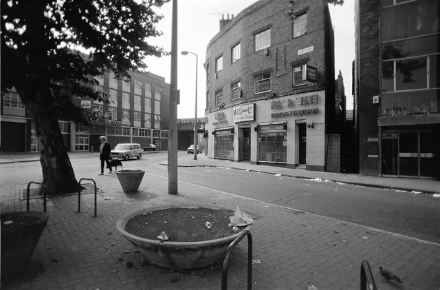
These two houses, Silverdale and Thornhill are on the west side of the street at 62 and 64, and are part of a long succession of more or less identical properties on both sides of the street. But these were the only pair with an ice-cream van outside when I made this picture.
Probably because of its uniformity I took few pictures on my long walk up the hill on Pepys Rd, just a couple of pictures at the top of the hill of Hatcham College, one of which (not digitised) includes the statue of Robert Aske, one of only five listed buildings in the conservation area, the others all being telephone kiosks!

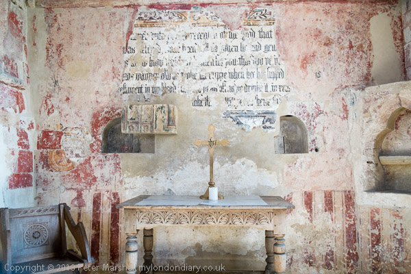
I was on my way to Nunhead Cemetery, one of the ‘Magnificent Seven’ great cemeteries set up around the then outskirts of London as its population was growing rapidly and the small parish cemeteries in the city were becoming dangerously overcrowded.

Parliament passed an act promoting the establishment of private cemeteries outside central London in 1832 and in the following decade seven were established – in date order Kensal Green, West Norwood, Highgate (West), Abney Park, Brompton, Nunhead and Tower Hamlets.

Nunhead, originally known as All Saints’ Cemetery, was established by the London Cemetery Company in 1840 and is one of the least well known of the seven though it is the second largest at 52 acres.

Financial difficulties caused its closure in 1969 and it was bought for £1 by Southwark Borough in 1975. In 1981 the Friends of Nunhead Cemetery was formed and together with the council began the restoration of the cemetery which was reopened to the public in 2001.

I think my pictures were taken on a Sunday afternoon tour led by the Friends. The include some of the more notable monuments in the cemetery which you can find out much more about on the Friends web site and they offer regular guided tours, but you can wander freely on your own as the cemetery is open to the public daily and you can find a useful map on the web.

The Wikipedia entry on Nunhead Cemetery lists a number of notable people whose graves are in the cemetery, but few were familiar names to me. One who very much made an impact on London was Sir George Thomas Livesey (1834 – 1908), engineer, industrialist and philanthropist and chairman of the South Metropolitan Gas Company. Another was Thomas Tilling, who gave London its first double-decker buses and was for many years England’s major bus operator. Allegedly ‘Tom Tilling’ became Cockney rhyming slang for a shilling coin, though I never heard it used.

The Brockley footpath runs along the southwest edge of Nunhead Cemetery and I was able to leave the cemetery and walk down it back towards Nunhead. You can exit the cemetery on Limesford Road and walk along this to the path.
My walk will continue in another post shortly.