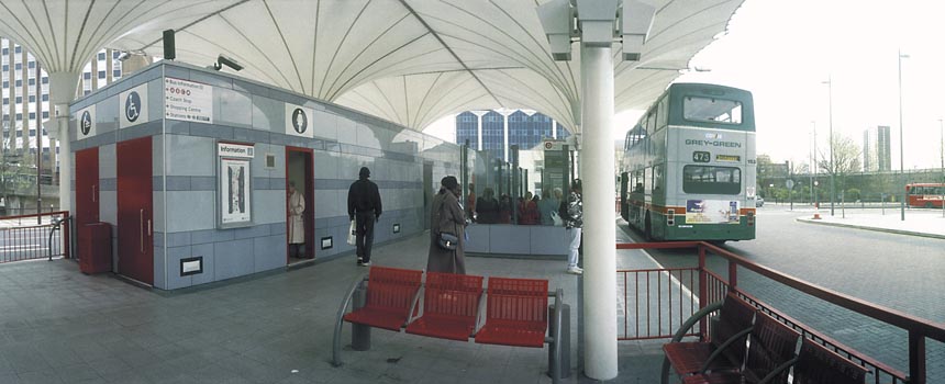
More Poplar 1988 continues my walk Limehouse, Isle of Dogs & Poplar.

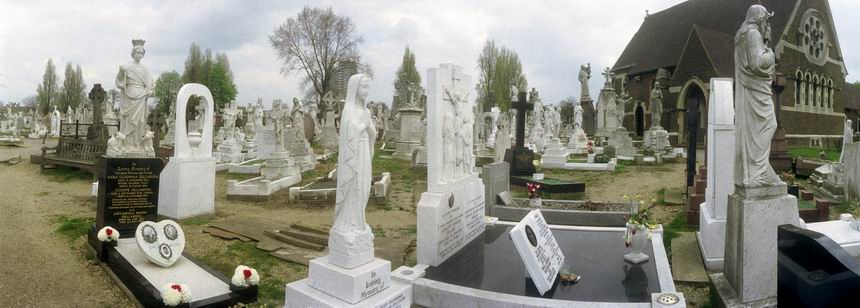
The Survey of London has a long story about this house at 115 Poplar High Street, now a private residence oddly called Meridian House and built together with 26 new almshouses by the East India Company in 1801-2. They had first set up almshouses in Poplar for disabled and retired employees and their widows and orphans in1626, built partly using money seized from the estate of Hugh Greete after his death in 1619. Greete had been discovered to have been swindling the company while trading Indian diamonds and they seized his assets.
The old almshouse was demolished in 1802 replaced by the new buildings. After the Crown took direct control of India in 1858 the government took over these buildings as Poplar Marine Hospital, selling all except the chaplain’s house, burial ground and chapel to Poplar District Board of Works in 1866. They demolished the almshouses to become Poplar Recreation Ground.
The chapel became the Church of St Matthias with the Chaplains house as its vicarage – and it was further enlarged in the following years. When St Matthias was closed in 1976 the house was sold to become a private residence.

This Grade II listed building from 1869-70 for the Poplar District Board of Works was the result of a competition for designs which attracted 43 entries and considerable controversy when the prize went to Walter Augustus Hills (c1834–1917) and Thomas Wayland Fletcher (1833–1901) of Bow, both former assistant surveyors to the board. One architectual magazine at the time described it as ‘terribly ugly’. They were obliged to cooperate with the second place pair of Arthur and Christopher Harston over a final design. Once constructed the building was found to have various problems, not least that in the boardroom ‘reverberation was so excessive as to make the speaker almost incomprehensible’.
Various alterations were made and in 1900 the building became the town hall of the new Metropolitan Borough of Poplar, who extended it and then replaced it in 1038 by a new town hall in Bow. It continued in various uses by the council and in 1987 became the Borough of Tower Hamlets’s Directorate of Housing.

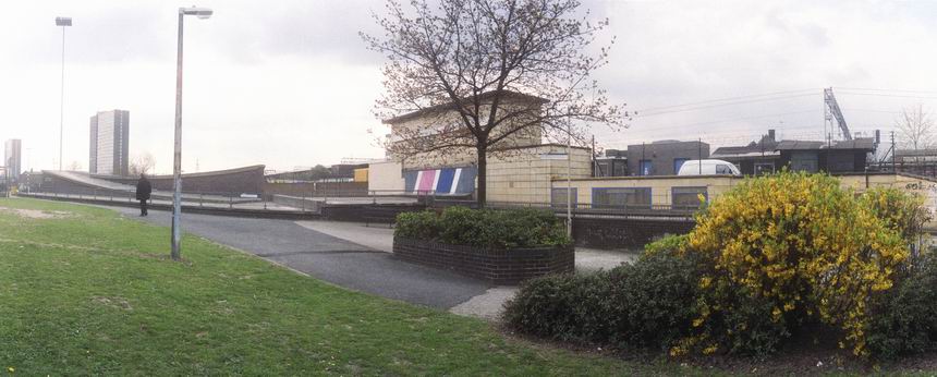
This small paved area is just off the High St between Norwood House and Holmsdale House and the block in the centre of the picture is Constant House on Harrow Lane, built by Poplar Council in 1936-7designed by the Borough Engineer and Surveyor, Rees J Williams. Both Holmsdale and Constant House were rehabilitated in 1986-7, with more work in recent years. Norwood House was added in the late 1960s and this paved area looks as if it may date from then.

A similar style block to Constant House, also built for Poplar Council in 1937-8, designed by Rees J Williams.

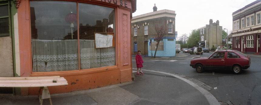
Built in 1937 on the corner of Poplar High St and Harrow Lane, to replace an earlier pub the Resolute survived until closed and demolished in 2011. The pub on this site was The Harrow from 1797 (or earlier) until renamed the Resolute Tavern around 1881.
The best-known ship of this name was fitted out for arctic service at nearby Blackwall Yard in 1850 and made several trips to the Arctic searching for the lost expedition of Sir John Franklin who had been searching for a North West Passage. Finally the Resolute got stuck in ice and was abandoned in May 1854, the crew escaping across the ice to a relief fleet.
The ship was found drifting by an American whaler over a thousand miles from where she was abandoned in September 1855 in perfect order and was sailed back to New London, Connecticut, arriving on Christmas Eve. Eventually she was bought by the US Congress, refitted and sailed back to be presented to Queen Victoria and rejoining the navy. The Resolute was retired from the Navy in 1879, possibly at the time the pub was renamed. Some of her timbers were then used to create a substantial desk presented by Queen Victoria to US President Rutherford B. Hayes in 1880. Moved out for some years it has been back in use by most presidents in the Oval Office since being replaced there by Jimmy Carter.

This club was at 253 East India Dock Road and has since been converted into Poplar Central Mosque.

The crunched rear end of D814 VRG presumably had its match on the front end of A506 DMX, but at least it appeared that there were no casualites in the collision at the north end of the Blackwall Tunnel, viewed by me from Poplar High St. A sign a little down the road says ‘Welcome to Tower Hamlets‘ though I think most of the tunnel is in the borough. At left is the unmistakable profile of Erno Goldfinger’s Balfron Tower, built in 1965-6 for the GLC and recently stolen from its residents by Poplar HARCA housing association and sold as luxury housing.

Just on the edge of the elaborate interchange between the East India Dock Road and the Blackwall Tunnel Approach is this small Seamen’s Mission, built in 1898 a Christ Church House and a part of the St Frideswide’s Mission House Conservation Area, but this building only locally listed. The mission here was set up by members of Christ Church College Oxford who in 1881 decided to support missions in the East End. Now converted into six flats.
My 1988 walk in Poplar will continue in a later post.