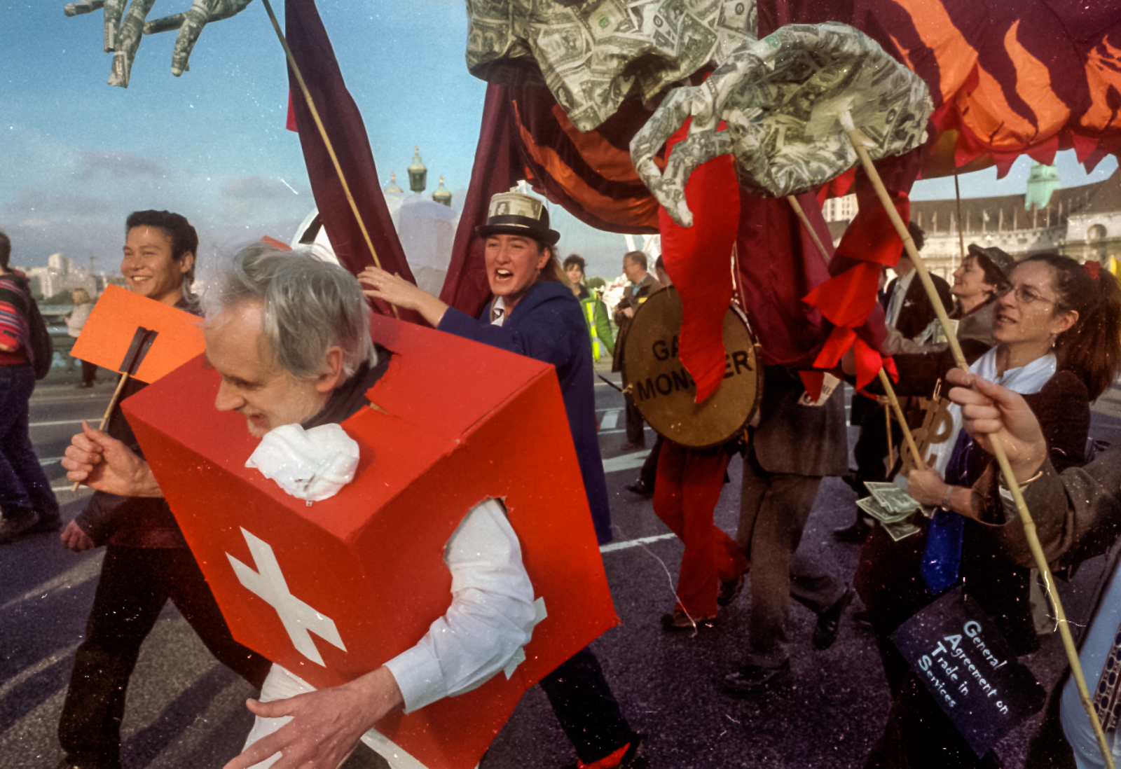
Ten years ago today on 9th November 2011 my work began at The Shard next to London Bridge, where ‘sparks’ (electricians) were protesting over plans by 7 major employers to tear up national agreements and impose worse conditions and pay cuts of at least 26 %.
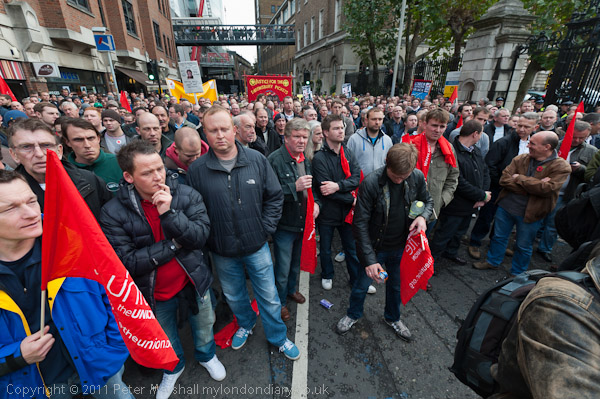
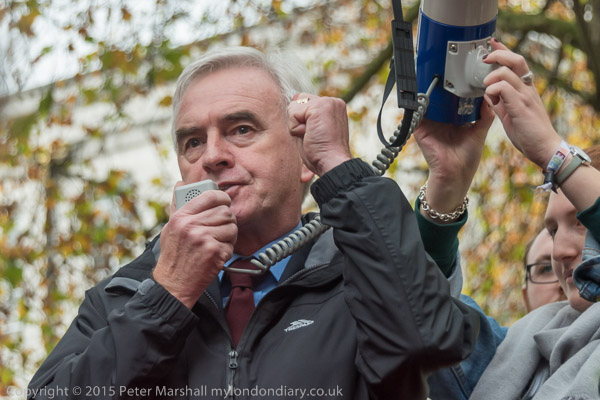
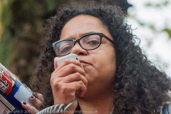
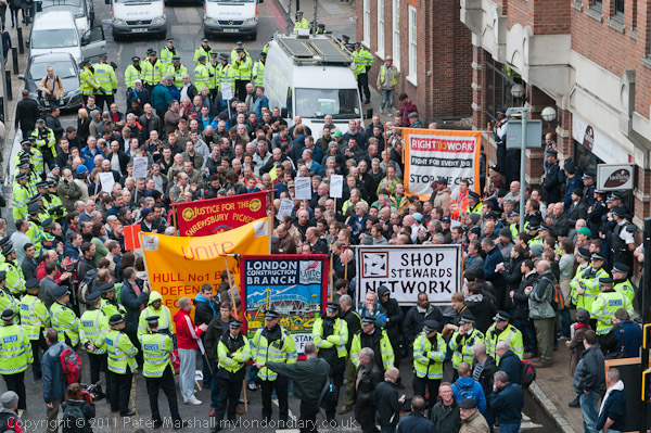
Before the official rally by the Unite union where speakers included several of the union’s leading officials as well as General Secretary of Unite Len McCluskey there was a separate rally with grass roots speakers. Numbers grew as the official rally began and there were over a thousand when it set off to march to another rally at Blackfriars.
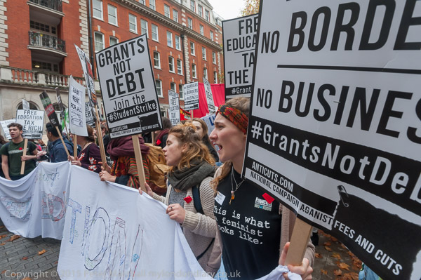
I left the march on Borough High St and headed north over the river to join a large march by student protesters against fees increases and cuts in services. Police had shut down most of central London before this started and there were no buses running and I had to walk around two miles to meet the marchers.
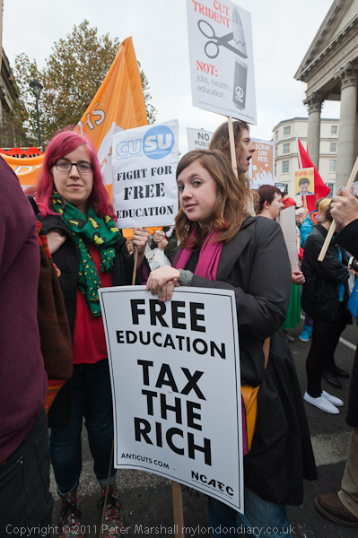
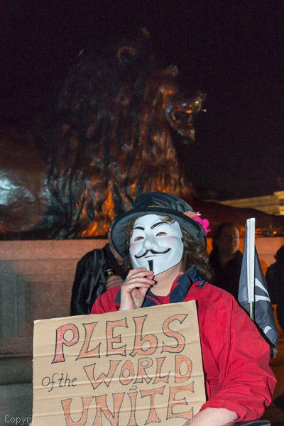
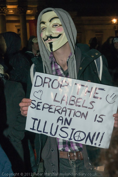
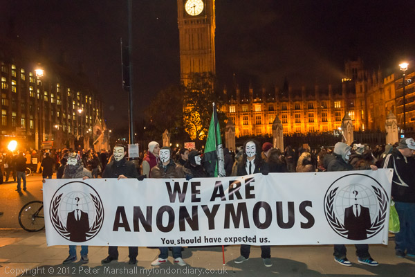
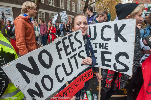
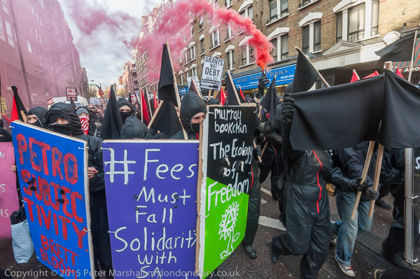
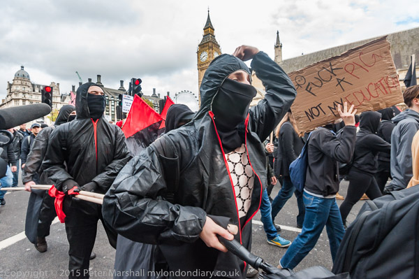
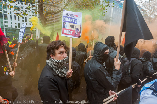
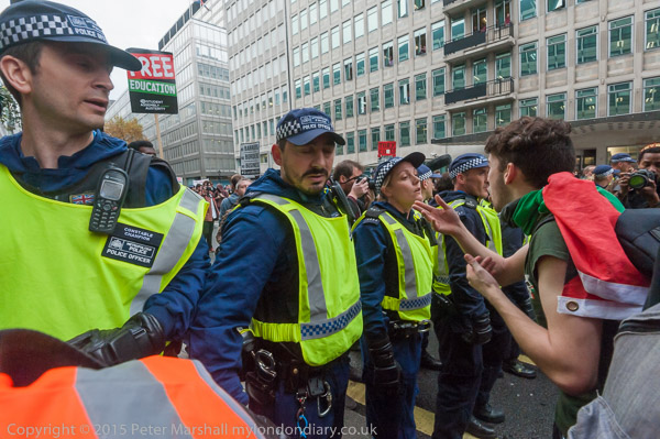
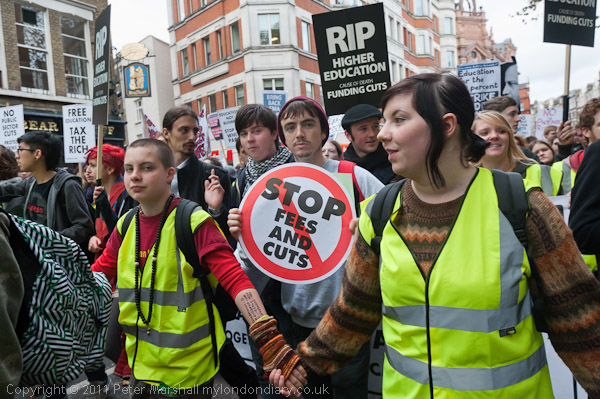
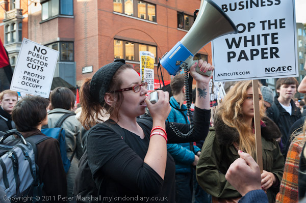
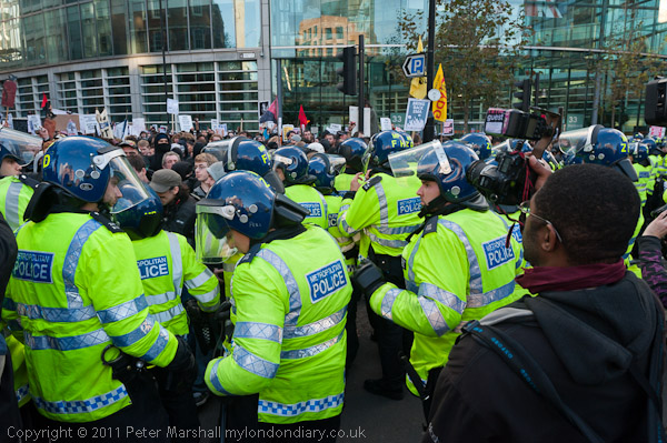
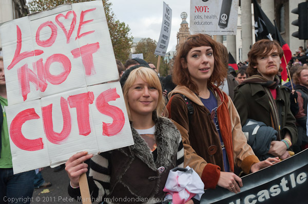
Students were angry about the cuts, particularly about the loss of the Educational Maintenace Allowances but the policing seemed completely excessive. I wrote: “There were perhaps 5000 students, but as the march approached me coming down Shaftesbury Avenue they were largely hidden by the police, with a row of mounted officers leading, followed by several further rows of police in front of the marchers. More police walked along each side of the march, and others stood on the pavement, with lines blocking side roads and others in the doorways of offices, banks and some shops.”
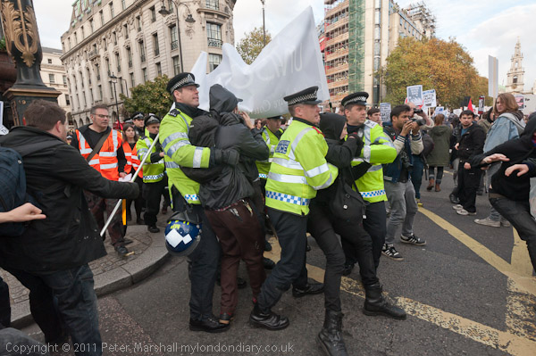
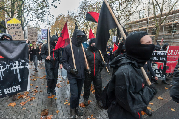
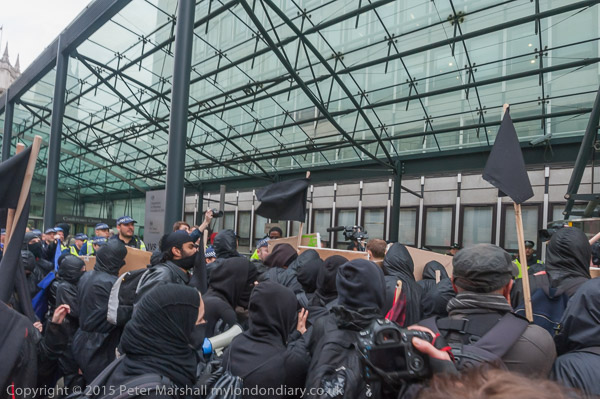
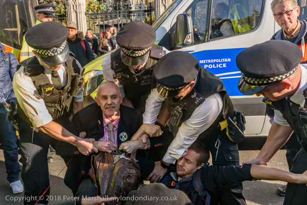
The mood of the marchers seemed to me to be rather cheerful and relaxed, and this was reflected in the humour in many of the posters. Although there were a number of provocative actions by police – including a snatch squad rushing in to grab several marchers – which injured me and some other marchers, as well as various occasions on which they slowed or halted the march, eventually bringing it to a complete stop and ‘kettling’ it in Holborn, which caused it to get a little heated.
The protesters had been angered to hear that six hundred electricians who had tried to cross the river after their rally in Blackfriars to join the student protest had been stopped at Blackfriars Bridge and London Bridge.
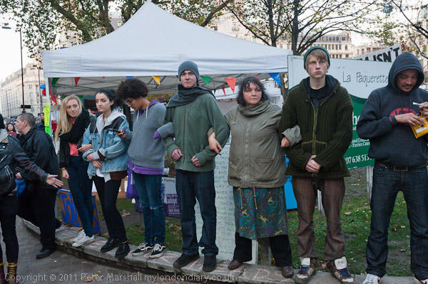
The police seemed to get completely disorganised at this point and I was able to walk past a police line along with several hundred of the protesters while the officers grappled with a few holding them back before more police arrived. After waiting for some time in the hope that others would join them, they continued the march to its intended destination at the Moorgate building of London Metropolitan University where they danced to the sound of a bicycle-hauled sound system while I walked a little further to Finsbury Square where Occupy London had been camping since 21st October.
People in Finsbury Square were worried that the the 4000 police officers in London from the march would turn their attention to trying to evict them. I told them it was unlikely they would make an attempt with so many students on the street. Later I saw videos of students being kettled at Moorgate and individuals being attacked by snatch squads of plain clothes police who had posed as protesters but there was no action against Occupy London.
The huge policing of the two marches was clearly a reaction to the criticism of their failures at Millbank and Tottenham, but it came at a considerable cost, bringing movement in much of central London more or less to a halt for most of the day. Much of the City was still closed as I walked along Old Street with traffic outside the area moving at rather less than walking speed. Policing by consent has to involve letting peaceful protest continue and here was clearly an attempt to prevent it.