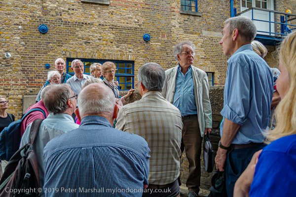
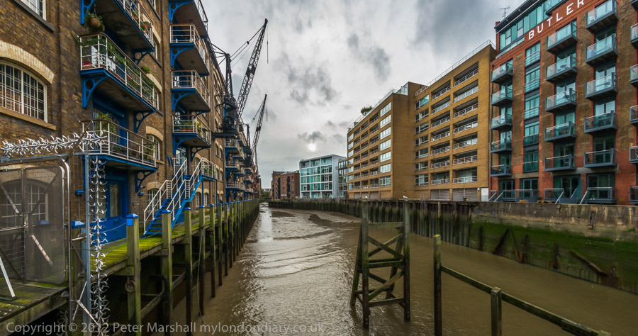
Canning Town & West Silvertown: Recently I published here a few pictures from a walk in this area in 2006. On 23 June 2007 I led a group visit around the area for London Arts Cafe, LAC, an organisation that ceased to exist a few years later, then devoted to “viewing, expressing and discovering all forms of urban art“.
Although the LAC has long been wound up, I had been responsible for its website, and decided to leave it online – with a clear message that the organisation no longer existed – as a historical record which still contained much interesting material – including the backgrounds of notes that I wrote for the walk I led around the area in June 2007.
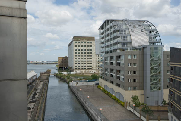
As I wrote on My London Diary in 2007, “there was much to look at, including public art, relics of the docks and the new developments that make this one of the largest of current regeneration areas.”
You can still read the ‘Canning Town Walk (June 2007)’ in full on the LAC web site, beginning here and split into ten sections, each with its own page. You are welcome to print it out and follow it for your own walk around what is still a very interesting area of London, though you will note some changes. Here I’ll include the few pictures from these pages, mainly taken on 21 June on my final planning trip for the walk a few days later with a few others, mainly from the same era.
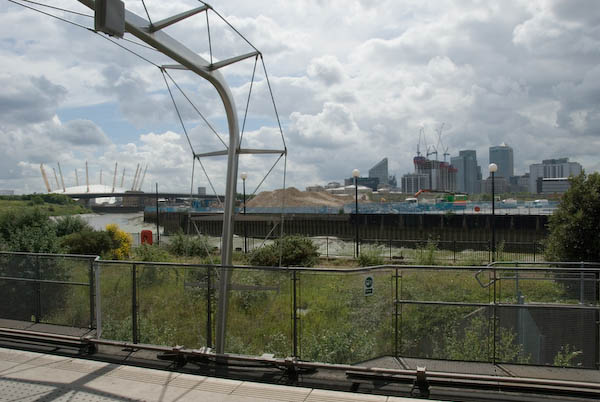
It’s a walk that like many I made in the area was based around the Docklands Light Railway which had made transport to the area much simpler. The area has changed in many ways since 2007, not always as I expected, but I think the walk is still a good guide to the area.
Canning Town Walk (June 2007)
1 Introduction
The walk starts at the top of the stairs leading up from Canning Town Station to the Bus Station.
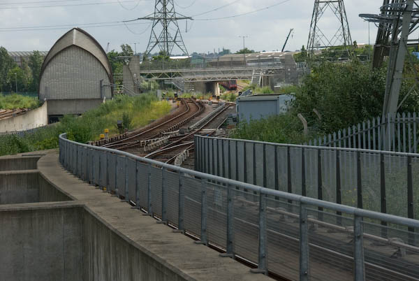
You can read this on your way to Canning Town Transport Interchange, served by various bus routes, the Jubilee Line and the Docklands Light Railway (DLR.)
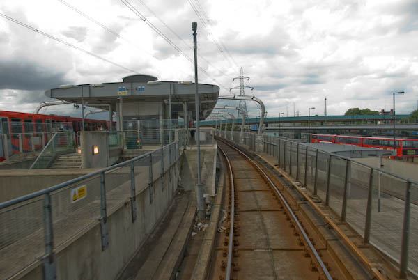
Canning Town is in the London Borough of Newham. The latest census showed the population of Newham to be 61% non-white – the highest proportion for any British borough. 41% of the population are under 24 – the highest figure in England and Wales. It has the second highest proportion in the country of three ethnic groups, Asians, Bangladeshis and Black Africans.
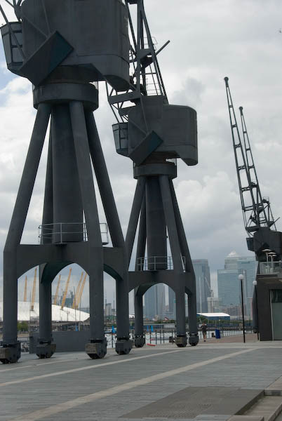
Unemployment in Newham is 6.7%, higher than any London borough other than Hackney. Youth unemployment is particularly high, as is the number of unemployed single parents. Canning Town has in the past been one of the most deprived areas of the borough on most social measures.

Canning Town has Bow Creek – the lower reaches of the River Lea – at its western edge. The Lea is the traditional border between civilisation (Middlesex) and Essex and when the London Building Act of 1844 proscribed noxious industries from London, a more over the river found a laxer regime.
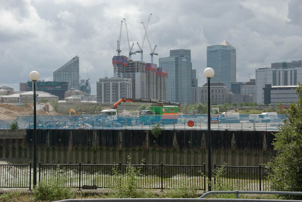
The 1840s were also the age of rail building, and the railway companies saw the potential of this riverside area, known as the Plaistow levels, several miles of empty marsh between Bow and Barking Creeks. One of them bought up the area at a knock-down price, and started making plans for docks that their railway could service.
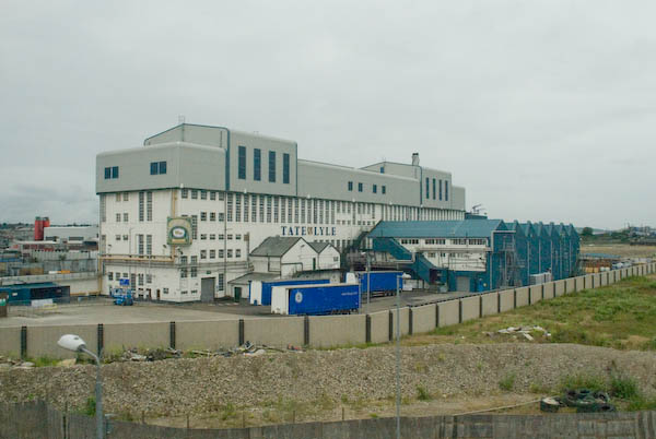
The first major industry to move onto a riverside location was C J Mare’s shipbuilding firm in 1846, soon followed by a glass factory owned by the brothers Howard. In 1852, S W Silver & Co, the Cornhill outfitters, set up a factory on the Thames to make rubber coated garments (an idea they borrowed from a Mr Charles Mackintosh.)
More detail about the Thames Ironworks in the Part 2 of my June 2007 Canning Town walk document which will be a later post.
One of the best-known businesses in the area was the ship-builders Thames Ironworks who were founded to take over Mare’s several sites in the area in 1857. They were the last of the London shipbuilders, specialising in their later years in building warships and mail steamers. The company finally closed in 1912-3, but the football club set up by managing director and philanthropist Arnold Hills for its workers in 1895 had changed its name in 1900 to West Ham United.
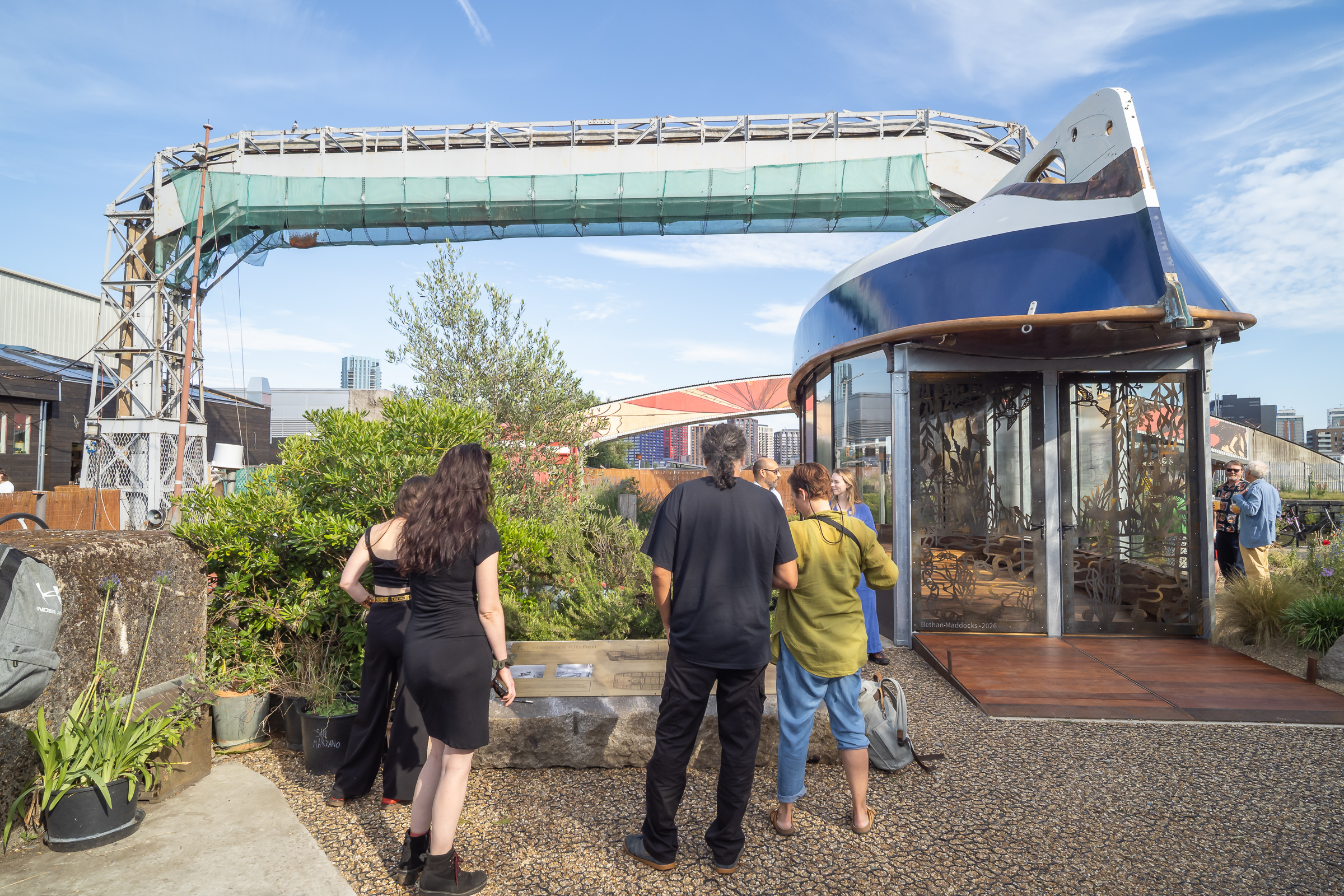
Last week I was pleased to attend the opening of a heritage pavilion, the Boat House, at Cody Dock on Bow Creek, which uses the fully restored Frederick Kitchen lifeboat as its roof. This is thought to have been the last craft completed by the Thames Ironworks in 1913.
More detail about the Thames Ironworks in the next part of my June 2007 Canning Town walk document.
Flickr – Facebook – My London Diary – Hull Photos – Lea Valley – Paris
London’s Industrial Heritage – London Photos
All photographs on this page are copyright © Peter Marshall.
Contact me to buy prints or licence to reproduce.