Lewisham, Black Heath and Heathside – 1990

Lewisham, Black Heath and Heathside: Pictures from the final part of my walk on Sunday 18th March 1990. The previous post on this walk was Deptford, Greenwich and The Point – 1990.

House, 17, West Grove, Greenwich, 1990, 90-3m-56
House, 17, West Grove, Blackheath, Greenwich, 1990, 90-3m-56

I came down from The Point onto more or less the top of Point Hill, which rises steeply from Greenwich and turned east into West Grove where a few houses including this one overlook the western edge of the Black Heath – and a short distance across the grass the A2. Different maps show this section as the east section of Blackheath Hill or the start of Shooters Hill, though this section is more or less flat. There are a few trees in the grass which is criss-crossed by footpaths.

This Grade II* listed house, Manna Mead at 17 West Grove, was built around 1800. Although a fine building I think it owes its unusual Grade II* listing at least partly because of its position on the edge of Black Heath and its views. It is divided into flats.

Dartmouth House, Dartmouth Row, Blackheath, Lewisham, 1990, 90-3m-34

I walked along to the well-known Rangers House on the edge of Greenwich Park and taking a few pictures there and on the way, including the listed Conduit Head for the water supply to the Greenwich Royal Hospital, none of which I have yet digitised. I went across the A2 and down Dartmouth Hill to Dartmouth Row.

Dartmouth House was a very substantial house and the sign outside suggests it was in process of being converted into flats. It was built in 1928-9 as a nurses home for the Miller General Hospital. This had been built in the grounds of the Royal Kent Dispensary in 1883 to celebrate the Dispensary’s 100th anniversary and “as a memorial to the Revd Canon John Cale Miller (1814-1880), the founder of Hospital Sunday”. This was an important national collection day every June, established in 1873 to support the work of voluntary hospitals, vital before the foundation of the NHS. Its inception is more generally attributed to London’s Lord Mayor.

Miller was Vicar of St Alfege, Greenwich and had greatly supported the work of the Dispensary. The hospital was closed in 1974 and the home was redundant. It briefly became a home for single mothers and was being converted into 17 2- and 3-bed flats.

This Dartmouth House is sometimes confused with the Grade II listed Blackheath House of the Earl of Dartmouth which was also in Dartmouth Row, just south of the church.

Church of the Ascension,  Dartmouth Row, Blackheath, Lewisham, 1990, 90-3m-35
Church of the Ascension, Dartmouth Row, Blackheath, Lewisham, 1990, 90-3m-35

Dartmouth Chapel was established in 1699 as private chapel for the Earls of Dartmouth so the Vicar of Lewisham could to preach a sermon for the family every Sunday. Traces of the original building may have survived the considerable rebuilding in around 1750 and 1834.

It had served as a temporary parish church for Lewisham in 1774-7 but was consecrated as a separate parish church, the Church of the Ascension in 1883. Much older material was also removed during rebuilding after wartime damage in 1950. The church is Grade II* listed.

View, Council Estate, Morden Lane, 1990, 90-3m-24
View, Heathside Council Estate, Morden Lane, Lewisham, 1990,

These flats on the side of Blackheath Hill were the Heathside Estate – Ferguson House, Melville House, Varden House, Glennie House and Travis House – built in 1948 by the LCC. They have since been demolished and the area redeveloped.

Stairs and View, Council Estate, Morden Lane, 1990, 90-3m-26
Stairs and View, Heathside Council Estate, Morden Lane, Lewisham, 1990, 90-3m-26

Noted for its vibrant community life, this estate on the edge of the London Borough of Lewisham was in a poor state structurally by the 2000s and in 2009 plans were approved for its demolition and replacement by new Heathside and Lethbridge estates.

House, 83, Morden Hill, , 1990, 90-3m-12
House, 83, Morden Hill, Lewisham, 1990, 90-3m-12

A fine example of a 1930s house with its Crittall windows intact. Although many houses like this were built with flat roofs, this had a pitched roof with a large overhang you can see here. The house still looks in good condition now, though the carefully trimmed bushes have gone.

Railway, Offices, Multi-storey Car Park, Molesworth St, Lewisham, 1990, 90-3n-01

I began and ended the walk at Lewisham Station and I’m unsure whether I made this image – taken on another camera – at the start or finish of my walk. The picture is made on a footpath that leads over the River Ravensbourne around a quarter of a mile south of the station and was taken from just on the east side of the river looking under the railway line towards Molesworth St. Although central Lewisham has changed drastically in the past decade or so, I think both the buildings in the background remain.

My next photographic walk was in North London two weeks later. Coming here shortly.


FlickrFacebookMy London DiaryHull PhotosLea ValleyParis
London’s Industrial HeritageLondon Photos

All photographs on this page are copyright © Peter Marshall.
Contact me to buy prints or licence to reproduce.
Capital Ring – South Kenton to Hendon

Capital Ring – South Kenton to Hendon: Monday 27th August 2018 was August Bank Holiday, which for many years meant if I was in London I was in Notting Hill for the carnival. But I think the last time I went was in 2012, when I went on Children’s Day and then wrote “either I’m getting too old for it, or perhaps carnival is changing, and this year I found it a little difficult. So I went on the Sunday, stayed around three hours and didn’t really want to return for the big day. So I didn’t.

Capital Ring - South Kenton to Hendon
Welsh Harp and West Hendon Waterside

Since then I’ve been out of London in several years and in the others I’ve thought about going to carnival again, but decided instead to go out for a family walk. And in 2018 with my wife we walked the section of the Capital Ring from South Kenton Station to Hendon Station.

Capital Ring - South Kenton to Hendon

The walk itself is only 6.2 miles, but walking to the station at the end and the kind of wanderings that all photographers indulge in it got a little longer. I’m not the kind of walker for whom a walk is a route march from A to B, but rather someone who likes to go where his eyes lead him in search of interesting views and places.

Capital Ring - South Kenton to Hendon

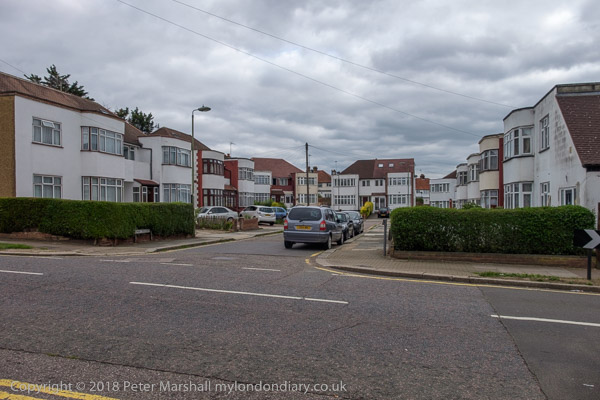
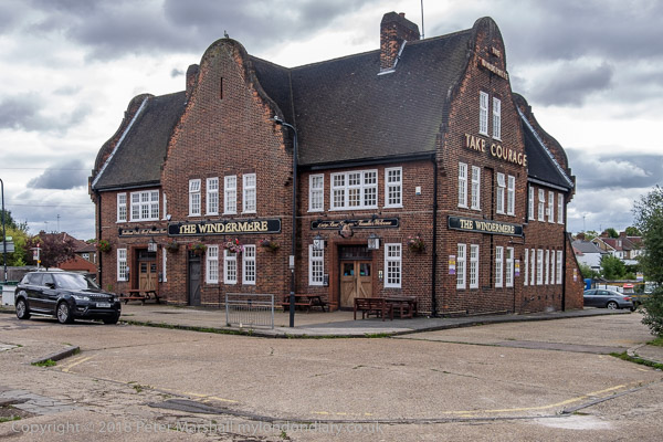
Unlike some sections of the Ring which are almost all woods, fields and trees this one has a wide range of different areas, all of some interest, beginning with South Kenton Station itself, the Windermere pub next door and the whole area of 1930s development.

Capital Ring - South Kenton to Hendon

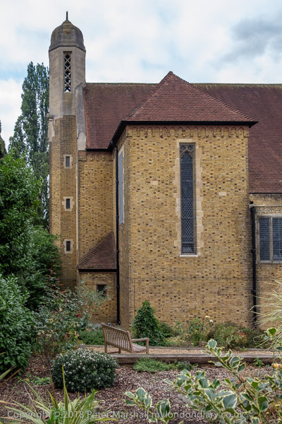
I don’t think my two pictures of The Church of the Ascension really do this interesting 1957 building by J Harold Gibbons justice, but they do give some idea of how unusual it is.

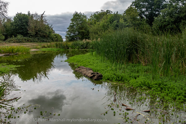
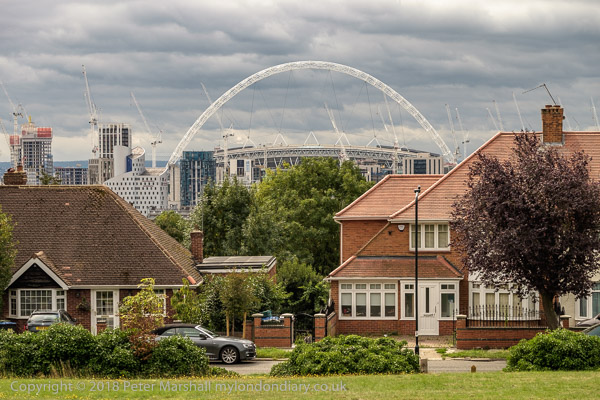
We had the guide to the whole walk around London by Colin Saunders which saves having to carry maps and gives usually clear route descriptions as well as a few snippets of interesting information – such as the fact that this pond on the top of Barn Hill was a part of a huge landscaping project by Humphrey Repton, much of which was covered by housing in the 1920s and 30s and includes Wembley Stadium.

From here we were a little let down by the walk instructions and ended up wandering around a little lost in Fryent Country Park, but eventually with the help of the map and a little guesswork found the correct exit.

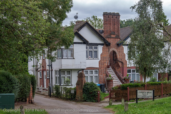
The walk continues through a number of suburban streets, not without some interest, eventually coming to Church Walk. Kingsbury does of course have some remarkable architecture but this lies some distance off the route. Fortunately I’ve photographed it on other occasions.

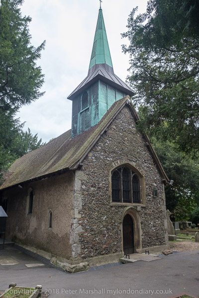
There are two St Andrew’s churches a short distance apart. The ‘new’ church is rather larger and was actually built around six miles away in Wells Street Marylebone in 1844-7 and moved here stone by stone in 1931-3. I haven’t posted a picture of this Grade II* building by S Daukes as it just seemed to me another Victorian gothic church. Probably I would have been more impressed had it been open and I could have seen the interior. A short distance away is the old St Andrew’s, a rather more quaint building with a Grade I listing, dating from the 12th-13th century though with some 19th century restorations.

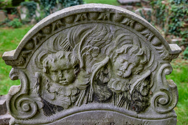
St Andrews Old Churchyard, now left to nature as a ‘Site of Borough Importance for Nature Conservation‘ is also full of interest, with no less than five Grade II listed monuments and tombstones including this one for “Timothy Wetherilt (d.1741). Portland headstone with upper relief of cherubs amid rays, set between auricular scrolls below an upper cornice enriched with egg and dart mouldings.”

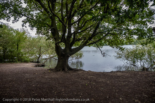
A short walk (with some deviation to a garden centre for its toilets) took us to the Welsh Harp – Brent Reservoir, built in 1835 to supply water for the Regents Canal which had opened in 1820. It got its name from a nearby pub and both pub and lake were for many years a popular leisure destination for Londoners. In 1948 the rowing events for the Olympics were held here, while for 2012 Eton College provided its Dorney Lake, completed in 2006 costing the college £17 million, though we paid through Olympic funding for the finish tower, a new bridge and an upgraded approach road and more.

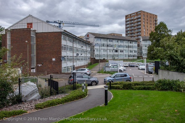
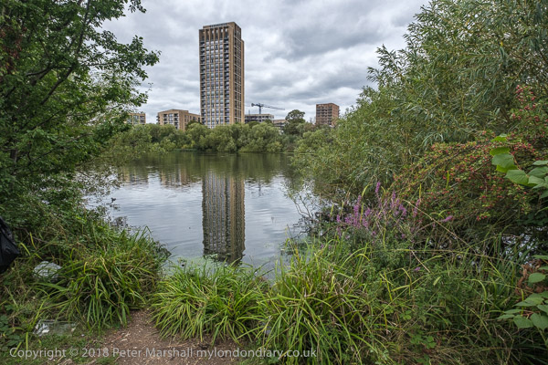
At the east shore of the lake was Barnet Council’s West Hendon Estate, sold off to developers and now West Hendon Waterside. The pleasant and well-loved council estate with 680 homes in decent condition was sold for a quarter of its value to Barratt who describe it as “170 hectares of beautiful green surroundings overlooking the Welsh Harp reservoir” (see top picture.) Some of the council estate was still occupied, overshadowed by new towers with a crane looming over. The development will result in more homes, but few will be social housing, and the so-called affordable properties are beyond reach of the current residents, with many probably bought and left empty by overseas property investors.

We walked past what was an impressive 1930s cul-de-sac when I photographed it in 1993, but a little less so now as the distinctive metal windows with curved glazing on the bays have been replace by double glazing, though this must make the occupants rather more comfortable.

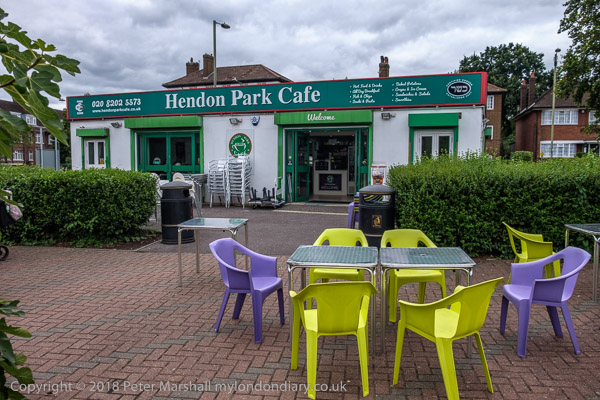
We walked on to Hendon, stopping for an ice-cream at Hendon Park Cafe, “the first kosher park café to open up in the UK” and admiring Hendon Park Holocaust Memorial Garden and the buildings arond Hendon’s Central Circus before catching a train on our way home.

More pictures on My London Diary at Capital Ring: South Kenton to Hendon.