It’s perhaps misleading to call this a ride, since I spent most of the day on Wednesday 3rd February 2010 actually off my bike, parking it neatly to take photographs. Although a bicycle has been my main personal transport now for over 70 years (when I’m not using public transport or walking) I’m not really a cyclist. Or at least just a pragmatic cyclist, using a bike just to get from A to B (and on this day to C,D and most of the letters of the alphabet.)
And just very occasionally for a bit of exercise. I have used exercise bikes and always thought why bother when you could use the real thing, though I suppose when its pouring with rain or below zero there might be some point in them. And though one wouldn’t help me to take photographs I would be less likely to be killed by careless or dangerous drivers.
Back at the end of 2002 I bought myself a Brompton folding bike, and a year or three later when I was undergoing a Q & A interview for an amateur photography magazine it became my answer to ‘What is your most useful photographic accessory’. It had replaced the answer to a similar question from another such magazine which was ‘a good pair of shoes’.
Once you have practised a few times the Brompton folds (and unfolds) in a few seconds into a fairly compact package, which has the advantage you can take it at any time onto our trains and underground system. It’s too heavy for me to comfortably carry any distance, but I added the tiny wheels which mean you can pull it rather like a suitcase, only actually lifting it when necessary. And I bought the bag which fits on in front of the handlebars which was about the right size for my camera gear and essentials like a bottle of water or a flask of coffee and sandwiches.
I can’t know remember exactly how I got to the start of my ride, though I think I probably rode from Waterloo to Fenchurch Street for a train to Limehouse station, crossing the Thames on Southwark Bridge. But from there on the pictures make my route fairly clear.
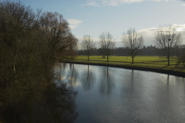
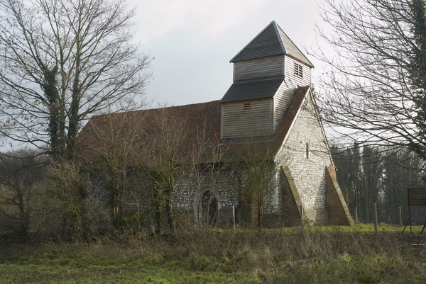
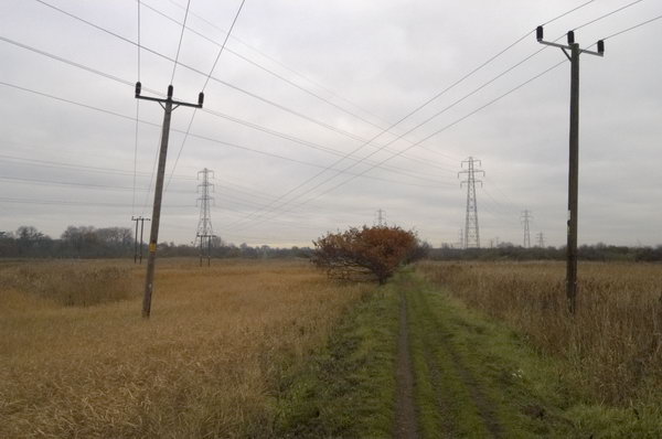
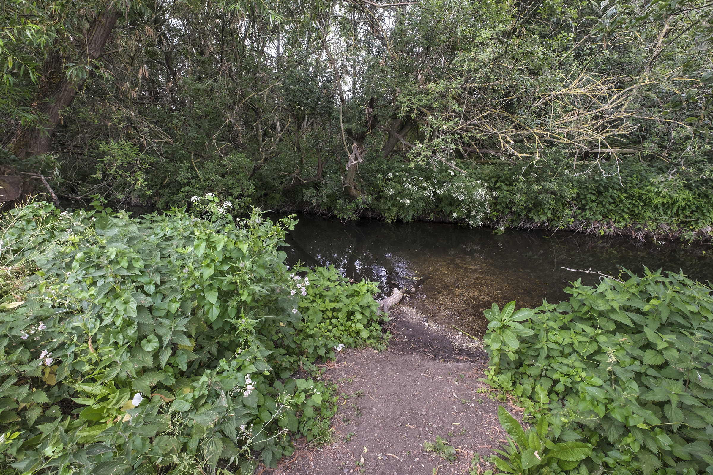
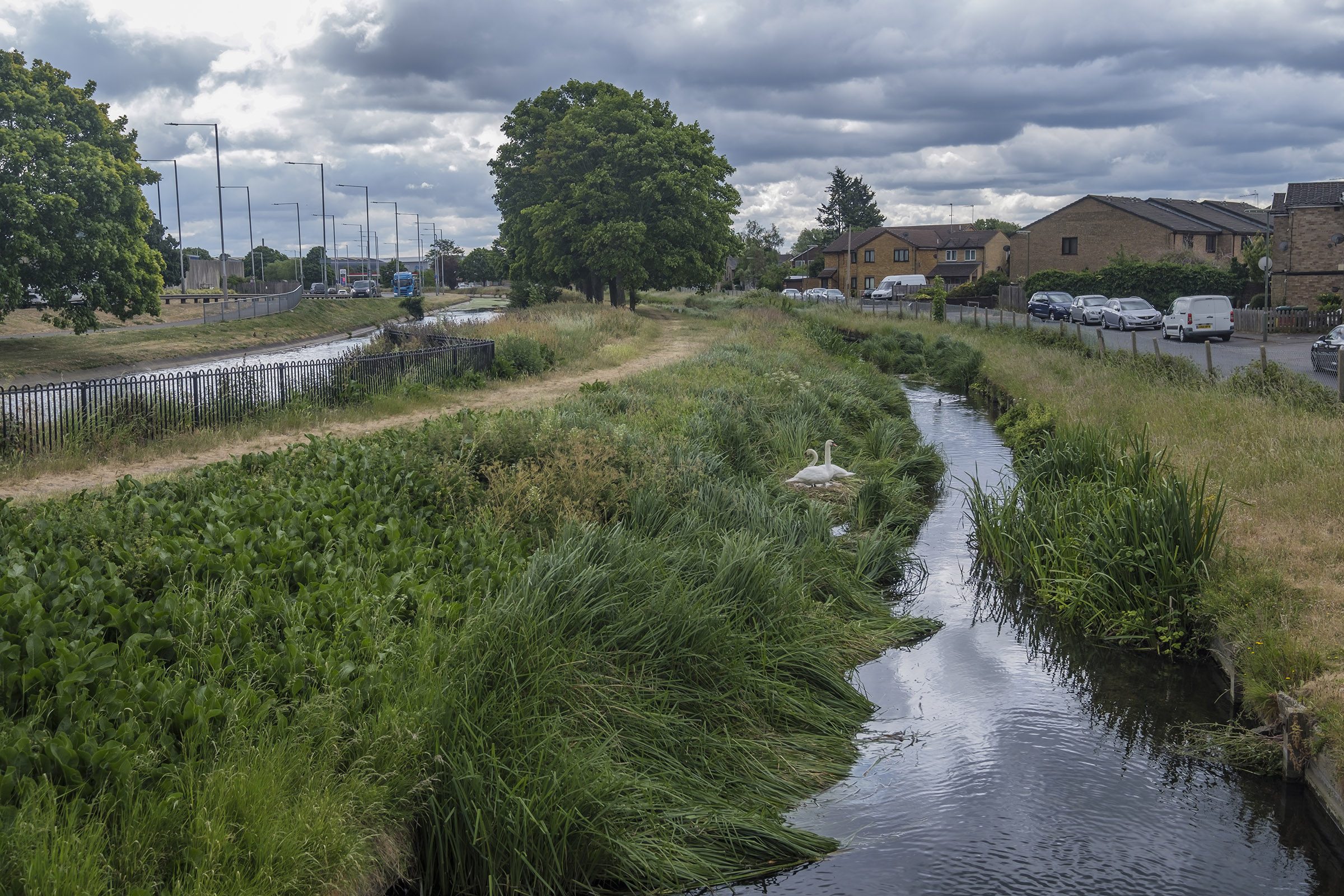
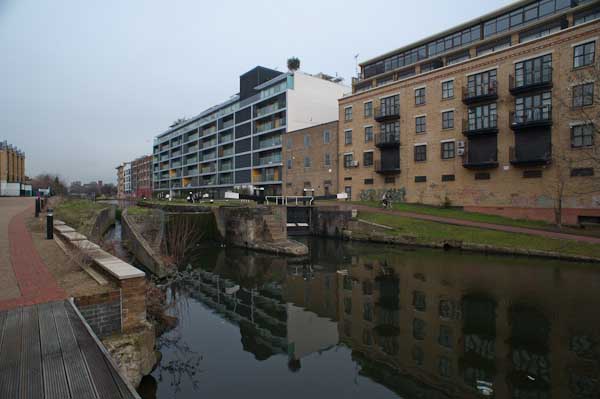
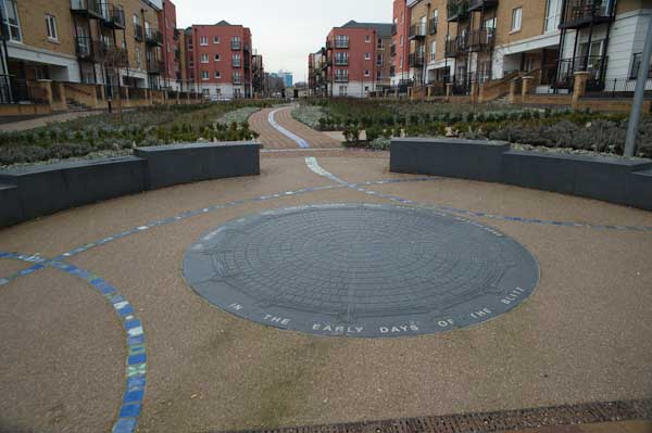
I cycled roughly along the Regents Canal up to the former Stepney Gas Works site north of Ben Johnson Road. There had been a fight to save more elements of the former gas works including gas holders which were some of the oldest surviving in the world; although some were said by English Heritage to be of national importance an attempt to get one of them listed failed. Eventually the area was redeveloped by Bellway Homes with only token ‘public art’ residues of the works.
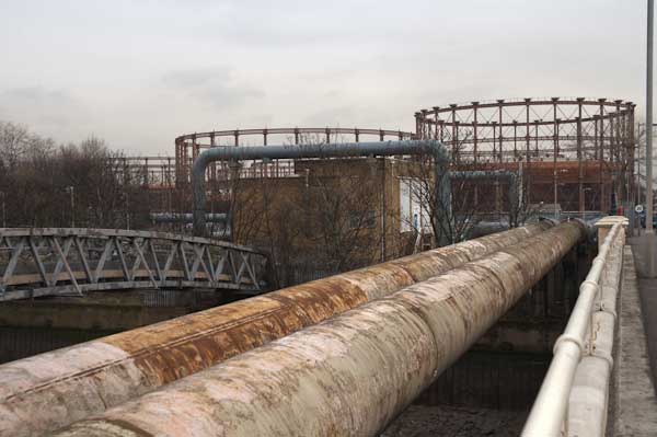
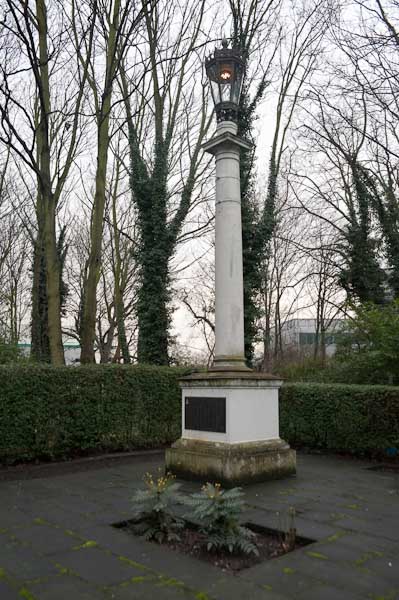
From there I headed east to the bridge at Twelvetrees Crescent across Bow Creek and the Lea Navigation to visit another gas works site, the West Ham Memorial Gardens where war memorials, a permanent flame and a statue of Sir Corbett Woodhall are in a small wooded area close to the remarkable group of gas holders for the former Bromley-by-Bow Gas Works.
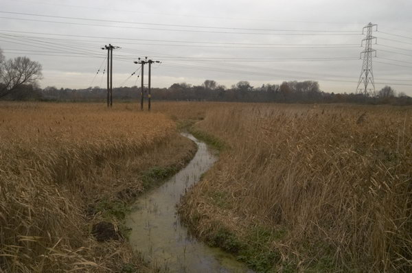
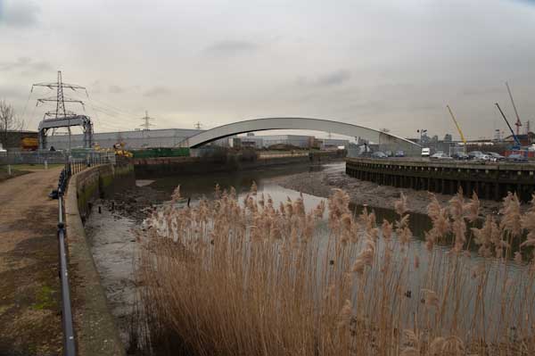
From there I went down to the recently opened path beside Bow Creek, part of a planned riverside walk which had been landed with the ridiculous name of The Fatwalk. As I commented then, most of the walk, meant to lead from Three Mills all the way to the Thames was still closed (and is still closed 13 years later) and by the time they were open the “nincompoop who thought that ‘The Fatwalk’ was a good name for this route will probably have retired or died or moved to another job for which he (or she) is equally incapable and common sense will prevail as we walk or cycle along the Bow Creek Trail.”
The walk still only goes as far south as Cody Dock, now a thriving community resource and hub with events and exhibitions and worth a visit, but in 2010 still undeveloped. The silly name has gone and this path is now also a part of London’s sculpture trail, The Line, making its way from the Greenwich Peninsula to Stratford.
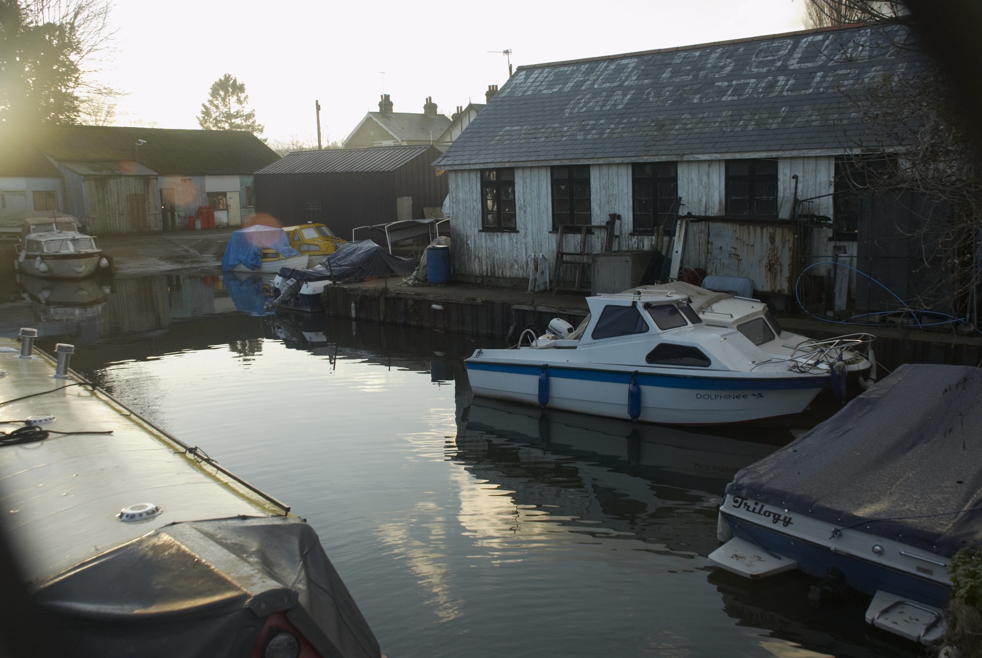
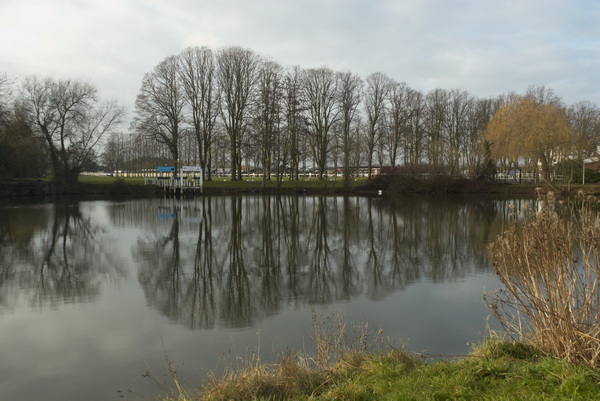
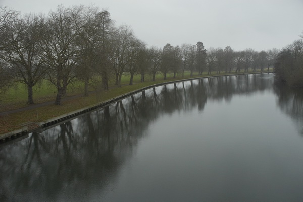
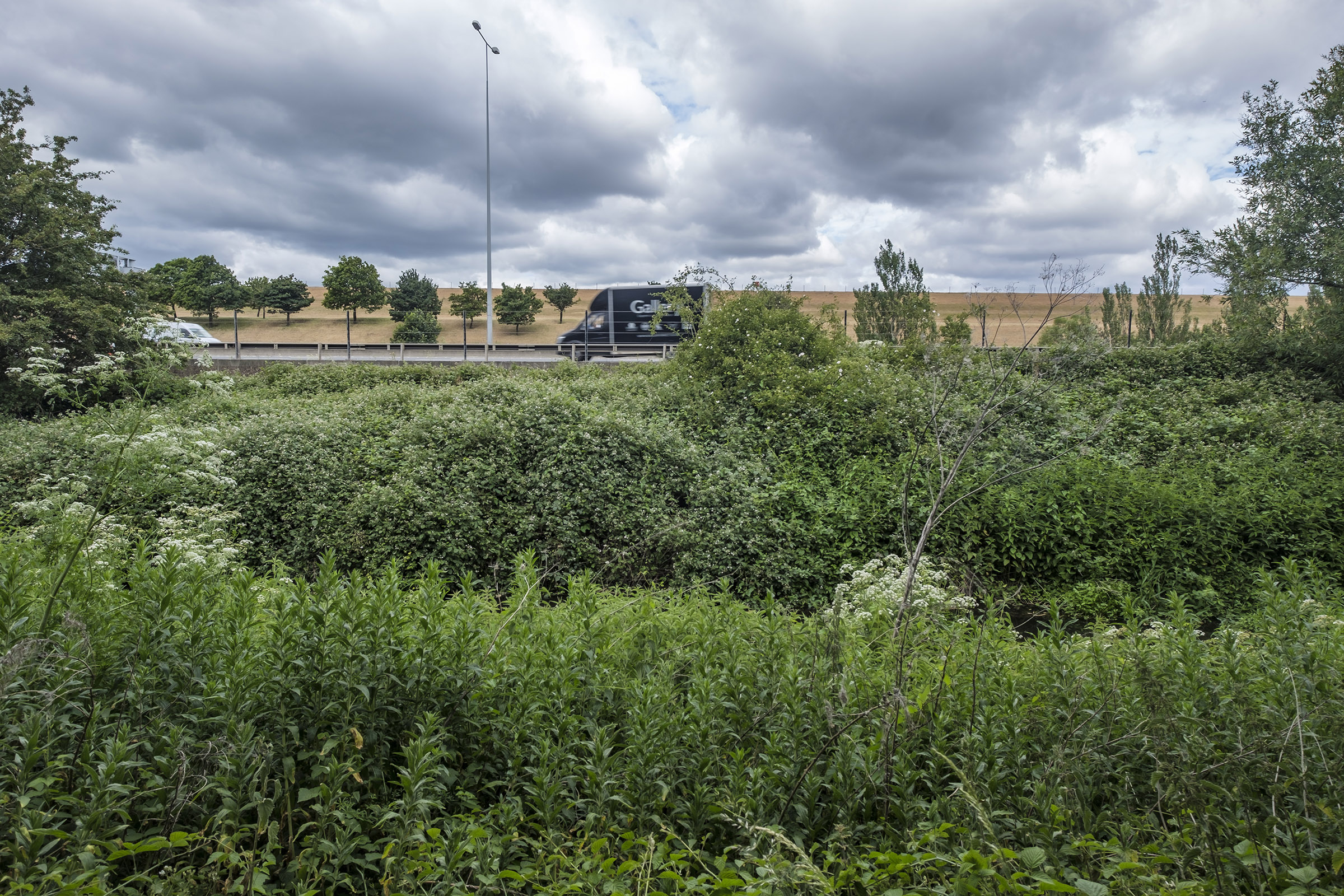
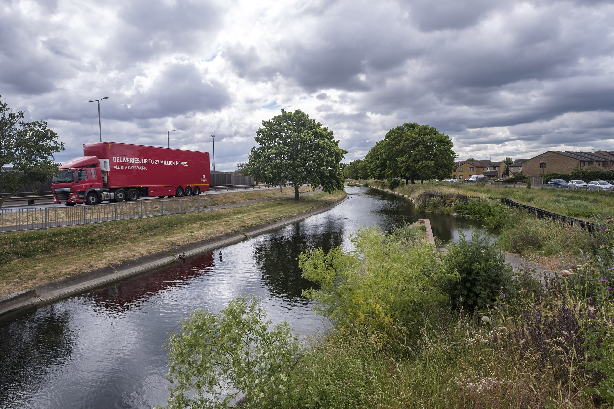
At the end of the Fatwalk, I had to turn around and go back to the Twelvetrees Crescent bridge, where I once again photographed the locks from the Lea Navigation to Bow Creek. Now there are new steps leading down from this bridge to the towpath, but then I had to go across and join the fast-moving traffic on the Blackwall Tunnel Northern Approach to make my way to Three Mills.
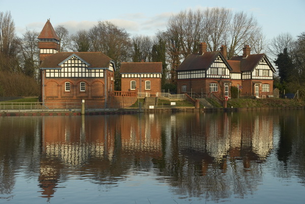
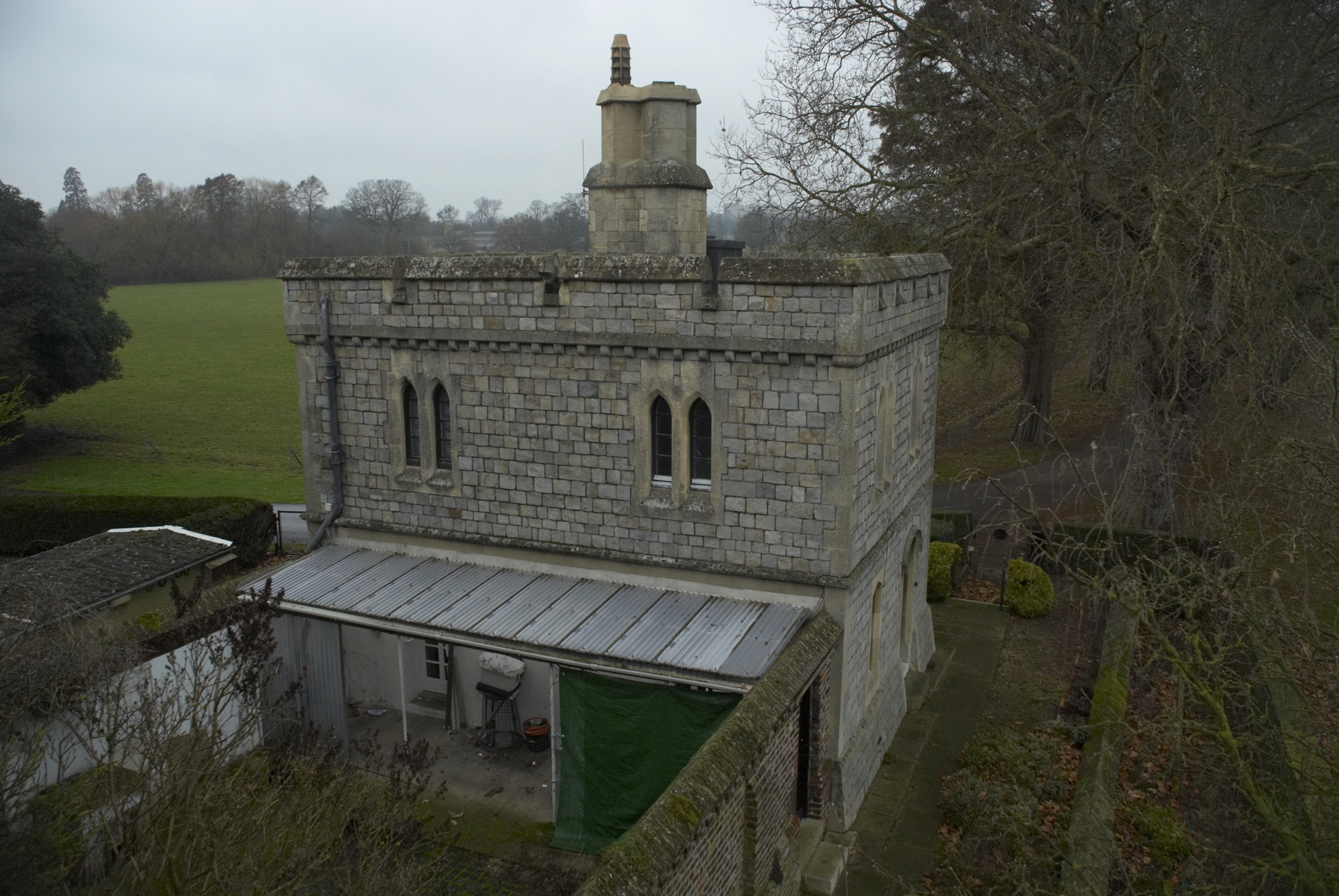
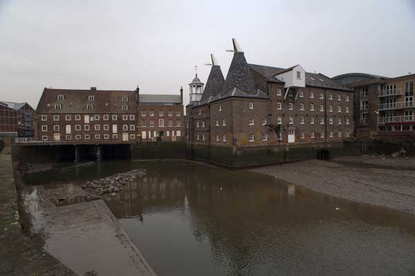
Three Mills is home to one of Newhams only four Grade I listed buildings and the House Mill, a tide mill, was built in 1776, though there had been tide mills here at least since the Domesday book.
The film studios here were converted from a gin factory where Chaim Weizmann developed a new biochemical process to produce acetone needed for explosive production in the First World War – which led to the Balfour Declaration and later to Weizmann becoming the first president of Israel.
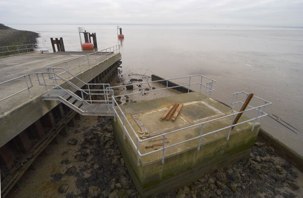
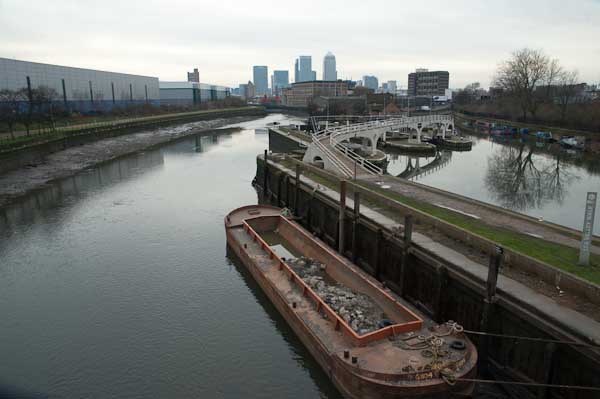
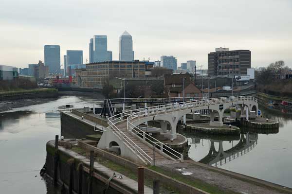
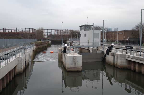
Past the studios I visited the new lock on the Prescott Channel, opened in 2009. Supposedly this was to be used by barges to carry away waste and bring in material for the development of the Olympic site instead of lorries, but was in practice only used for photo-opportunities. The Prescott Channel was built in the 1930s, part of a large flood relief programme, that was also largely to provide jobs at the height of the depression.
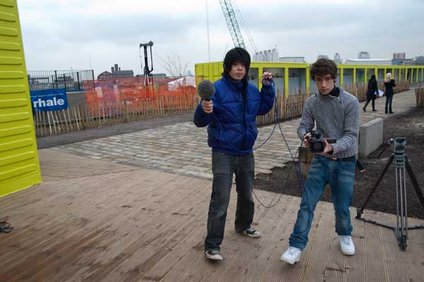
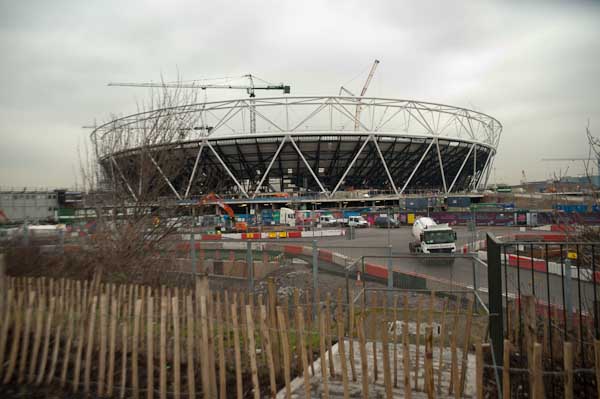
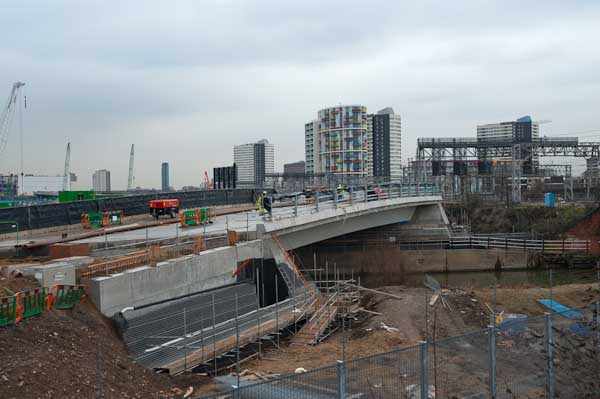
Finally I cycled up to the Olympic site, a building site with little or no public access, but parts of the ‘Greenway’ – the path on the Northern Sewage Outfall – were still open and gave extensive views. The reason I was in London on this particular day, when the weather wasn’t at its best was to be interviewed and filmed by a group of students at the View tube on the Greenway. I can’t remember ever seeing the video. After the interview I made my way to Stratford to fold the Brompton and start my journey home on the Jubilee Line.
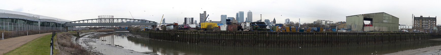
As well as taking single images I also produced a number of panoramas, taking a series of pictures from the same position to be stitched together. These include some 360 degree views, produced by software from 6 or 8 individual images. The pictures were taken on a Nikon D700 and are each 12Mp, but the combined files are huge. It isn’t easy to display these on the web, and they fit even less well on this blog. I’ll post one here on a rather smaller scale and invite you to double click on it to see it larger, though still much reduced. You can find more online here.
Olympic Site Revisited
Three Mills
Bow and The Fatwalk