London Loop – Uxbridge to Moor Park: Monday May 29th 2006 was the Late May Bank Holiday for that year, the day which replaced the Whit Monday Bank holiday in 1968, though at first for a trial 5 year period, only becoming a final replacement in 1971. Unlike Whitsun it came in a regular place, saving us having to do esoteric calculations to find the date o0f Easter, and then add on 50 days for Pentecost. This year, 2023, the Late May Bank Holiday actually falls on Whit Monday, but that isn’t usual. Though some people still call it Whit when it isn’t.
We had decided to go on a walk on the bank holiday, and we had been following the various stages of the London Loop, a kind of walkers M25 around the outskirts of London. The section we had reached began at Uxbridge and ended at Moor Park.
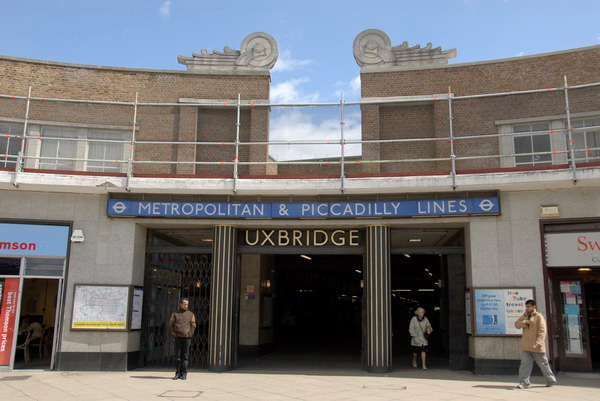
Although the M25 has made journeys around London much easier for those in cars, there is no equivalent for public transport. I live only 8 miles as the crow flies from Uxbridge station it took us a train, two buses and well over an hour to get there.
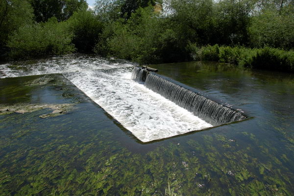
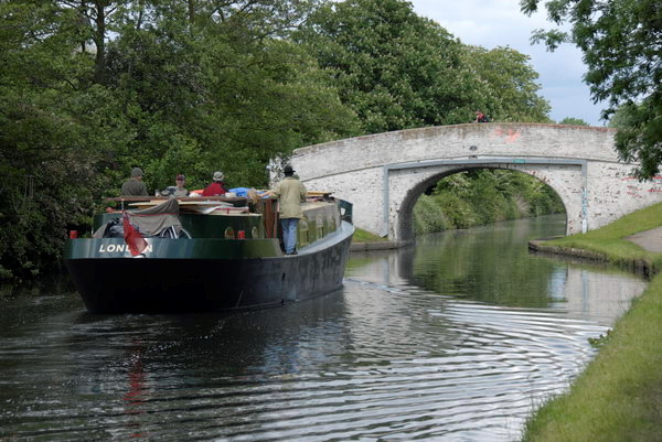
From then on it was fairly plain sailing, or rather walking, though much of the first half of our route was on the towpath of the Grand Union Canal. We covered section 12 which ends in Harefield and section 13 which goes on to Moor Park. The two add up to around nine and a half miles, with another mile or to the station at each end. The two links give maps and details and also short notes on points of interest in the walks, so I don’t need to add to them.
We didn’t have these pdfs, but a copy of the book about the whole loop published five years earlier. Perhaps some things had changed but I think the directions given were at times in any case rather too vague to be useful. However the small reproductions of the OS Maps it contains soon let us work out the correct path. Nowadays of course you can get the maps and route guides on your phone, which can also tell you exactly where you are. Unless like me a few years ago when you get lost in a dense forest where there is no GPS (and no phone signal.)
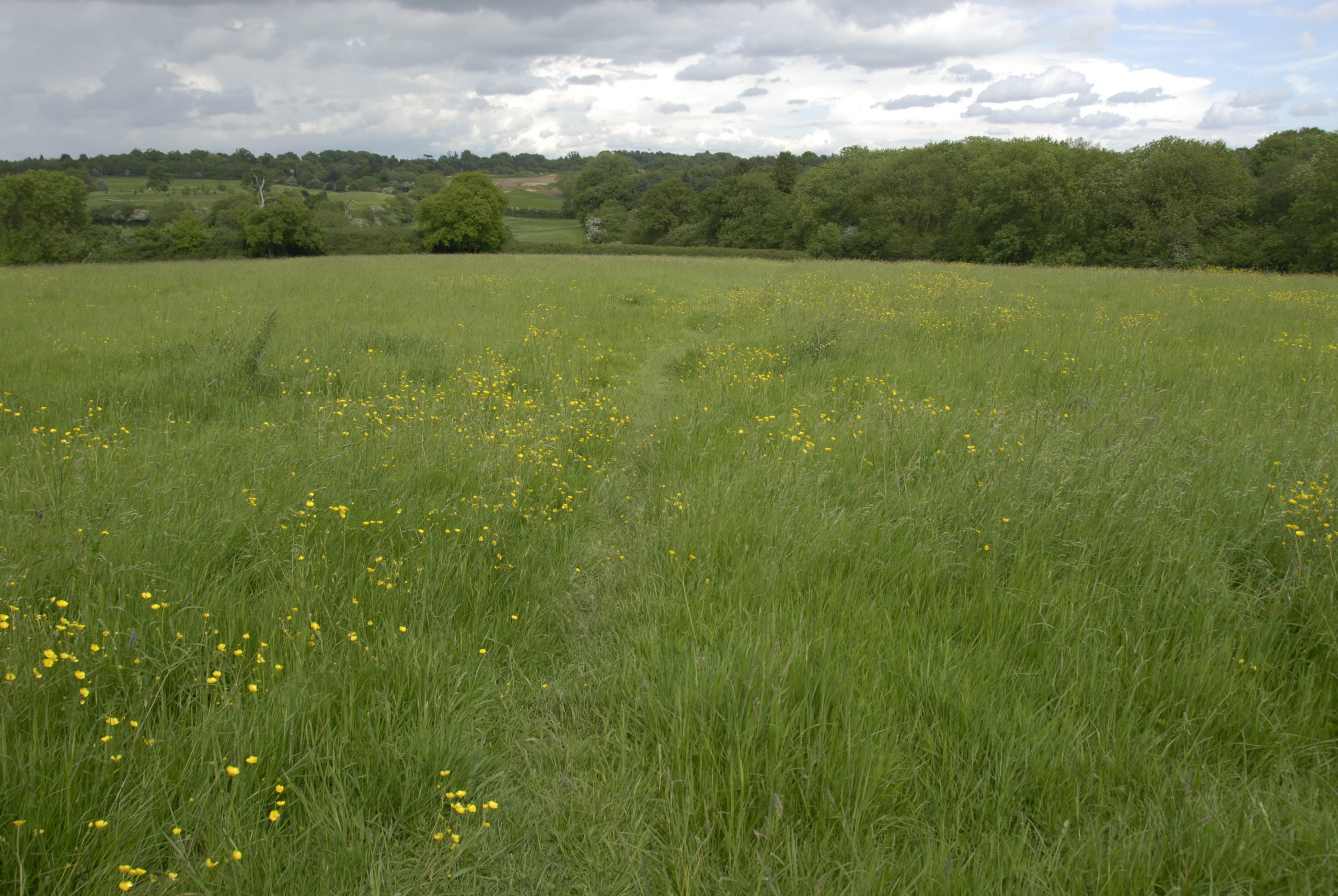
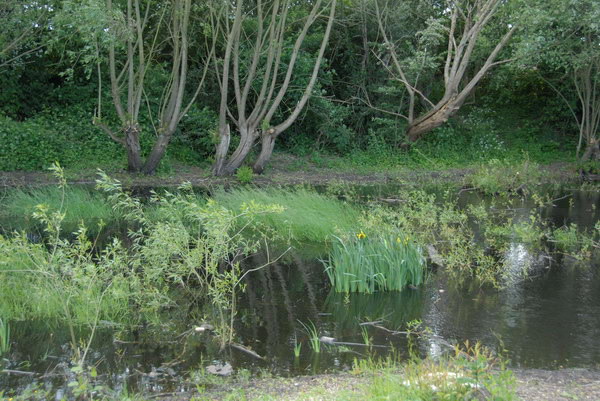
On My London Diary right at the bottom of the May 2006 page there is a short text about the day which includes “most of it was pretty boring, far too much green. The book giving the route is pretty hopeless in places too, which is perhaps why there were parts of it that very few people seem to have found, with badly overgrown paths” and also points out that back in 2006, the London Loop was still “an almost unsigned footpath route“. I think the waymarks are now much improved.
The piece concludes with what should have been a link to the pictures simply reading “coming shortly” though there is a previously unlinked page with a set of them. The next page and the rest of the pictures are still missing. But probably I had decided the 25 that are there are enough to give a good impression for the walk.. I’ve uploaded just one extra to go with this post.