Westhumble & Ranmore Common, Surrey – 30th December 2011
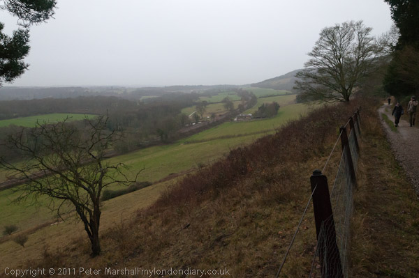
On Friday we went for another walk on the North Downs in Surrey, in a popular area for walking. In Summer it can get rather crowded with walkers but on a rather dull and damp winter’s day, even though many would have been still away from work over their Christmas break, relatively few were out walking the downs.

The second picture I made on the walk was this one of Leladene with its blue plaque to Fanny Burney. Leladene, later renamed to Camilla Lacey was for some years the home of Burney (1752 – 1840) who came to live there after her marriage to one of the exiles from the French revolution who had made Mickleham their home, General Alexandre d’Arblay. As well as being one of the most notable authors of her age she was also for four years ‘keeper of the robes’ to Queen Charlotte, the wife of George III.

In 2010 I wrote a brief description of the walk, although I seem to have missed out a line or so when I copied it to My London Diary so I’ve needed to do a little rewriting to make sense of one part of it. So I’ll rewrite it a little rather than simply copying here.
The weather wasn’t great and days are so short at this time of year, so we decided not to go to far for a walk, and did a roughly ten-mile circuit from Box Hill & Westhumble station.
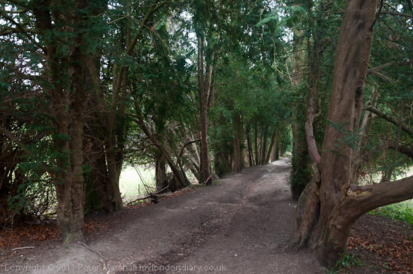
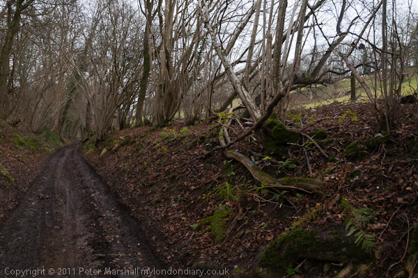
It was dry when we started, with some very muddy paths, though parts of the path were sheltered by the trees as we went along through Druids Grove.
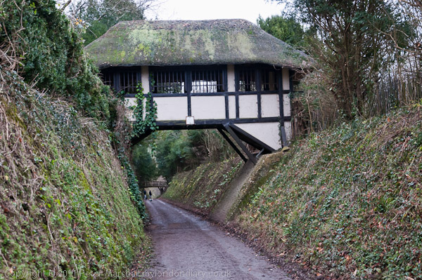
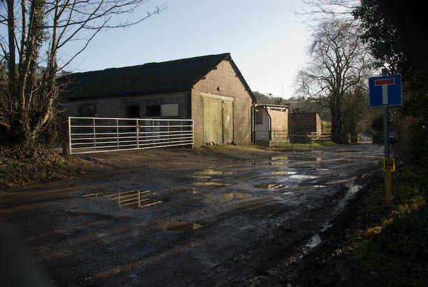
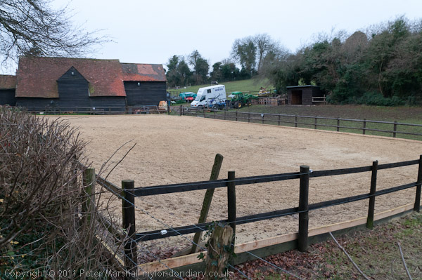
Many of the old yews (some perhaps 2000 years old) have now been blown down in gales but there are still quite a few on each side of the path. From there we walked past the Albury Park sawmills and on through Polesden Lacy, passing under it’s thatched bridge.
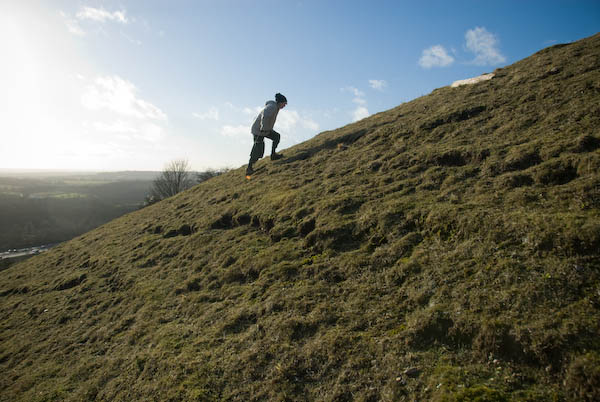
The steep track down from where we crossed from the North Downs Way to the Pilgrim’s Way a couple of hundred feet lower down the slope was a greasy mud slide, but we picked up some hefty sticks to help us keep upright, and from then on the way was easy going, with just a short uphill scramble to join the North Downs Way to take us back to Westhumble.
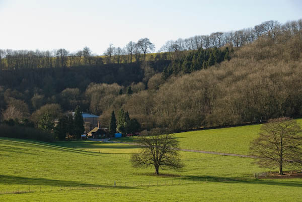
The light, never good, was fading as we walked above the Denbies vineyard and it was getting dark by the time we reached the station around 4.15pm.

I first got to know this area a little as a boy in the 1950s. I had got my first two-wheeler bike to replace an earlier tricycle on my sixth birthday and by the time I was 9 or 10 was going out for longish rides on a slightly larger replacement, sometimes with one or two friends, but for longer rides mainly on my own.

One of those rides I made quite a few times took me across the River Thames at Hampton Court then on south through the ‘Scilly Isles’ roundabout and on to Leatherhead and the the A24 to Box Hill, around 20 miles each way.

My routes were carefully planned with the help of the “One Ihch” Ordnance Survey map. Generally I looked for the shortest way even when it meant cycling along busy major roads like the A3 though the final stretch along the A24 Mickleham bypass built in 1937-8 to Box Hill was on one of the few roads in the UK with a separate cycle path.

Box Hill and Westhumble station – and a long wait for the train with no seats in the dry on the up platform. It had been a good walk, though the views would have been better in clearer weather.
Flickr – Facebook – My London Diary – Hull Photos – Lea Valley – Paris
London’s Industrial Heritage – London Photos
All photographs on this page are copyright © Peter Marshall.
Contact me to buy prints or licence to reproduce.