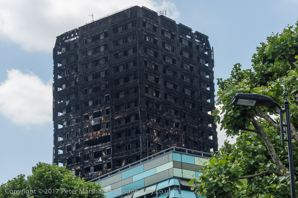
June 14th is now an important date in British history. The day of the great fire. On a smaller scale that the Great Fire of London, though killing perhaps a dozen times as many people. And a public spectacle that shocked us all with an immediacy that the earlier event lacked, shown live on TV. Though the TV pictures showed nothing of the true horror of people being burnt alive inside their homes.
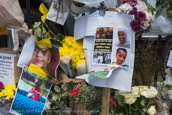
Several of my friends had connections with Grenfell Tower. It was where one had lived for several years when he first came to London, and I think one of my Facebook Friends – who I didn’t know personally – was a resident and a victim.
When I woke to the news at 7 am I thought briefly about whether I should go there. It was obviously a huge news story, but it would be a couple of hours before I could be there, and I was sure there would be many others covering it. And it isn’t the kind of news I feel particularly well equipped to cover, either in terms of lenses or personality and I don’t have the kind of direct links for getting the story out that you need for a major incident. The kind of story of it I would be interested in too would require a long-term commitment, making contacts, getting to know people in the community and going day after day, and I wasn’t ready to give that. I thought that going there I would just be in the way, and stayed home.
Some of my photographer friends were there even while I was still in bed, woken by calls to cover the event or ealy risers who switched on the radio, heard the news, picked up their cameras and jumped on their bikes. Had I been younger and closer I might have done the same. Others I know rushed there as volunteers to see what they could do to help, and some remained going there day after day – and I followed their reports on Facebook.
It was three days after the event that I first walked close enough to see the blackened tower, going to pay my respects at the shrine outside Notting Hill Methodist. The media were still there behind the police tape sealing off a large area around but I didn’t really feel one of them, I was there as a human being, not a journalist, though I did take a few pictures and sent some to my agency who I knew wanted them.
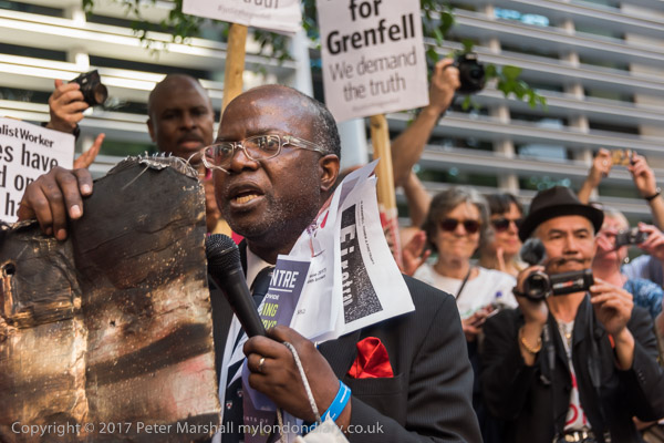
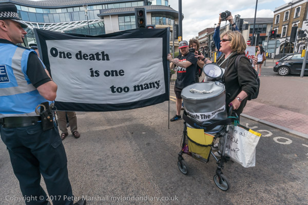
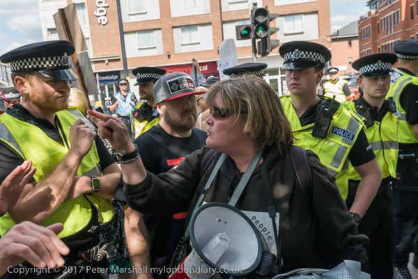
The evening before my visit I’d photographed a protest about Grenfell, beginning at the Home Office, after which most of those present marched to Downing St. There were speeches from a man who was announced as a local councillor but I think was just a local resident who seemed obviously still in shock, describing how he had seen people buring in their homes and jumping to their death, holding a square of the flammable panels which had spread the flames rapidly up the building (we learnt later it was not intended for use on high buildings and had been installed without the proper fire gaps.)
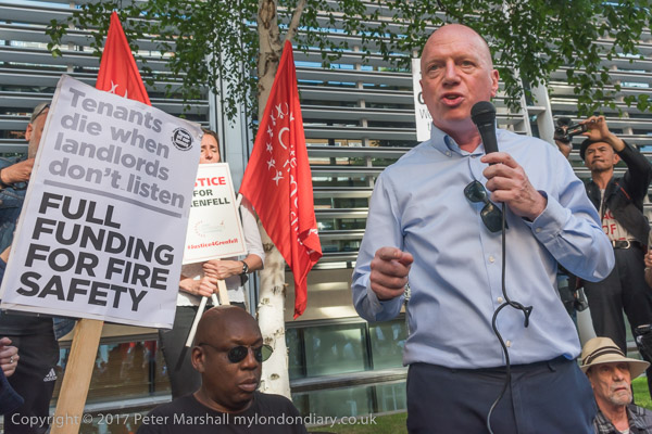
And Matt Wrack, General Secretary of the Fire Brigades Union, spoke about how cuts had inhibited the ability of firefighters to deal with events such as this, and that the system of fire inspection had been deliberately made less rigorous to allow councils such as the Royal Borough of Kensington and Chelsea to save money on making necessary modifications. Again later we heard the TMO they set up to administer their council properties had deliberately employed an inspector who would not insist on proper measures as a way of cutting their costs.
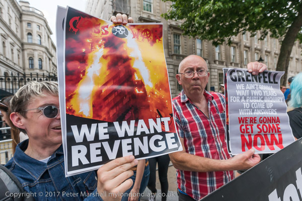
And on the Saturday when I returned from visiting Grenfell, I found Class War holding a brief protest at Downing St.
A day or two ago, an official inquiry – not the Grenfell inquiry – came out with an interim report about fire safety, having taken evidence from over 300 interested people and bodies – and is continuing its work. But many see such official inquiries as a way of putting off action and of sweeping issues under the carpet.
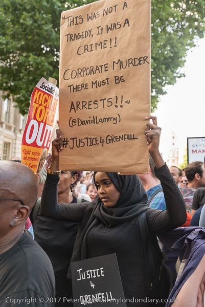
If you want to know the truth about the fire and its causes, read The Truth about Grenfell Tower: A Report by Architects for Social Housing, (PDF available here: The Truth about Grenfell Tower) which was published 5 weeks after the fire (it does start with one small error – the fire began in the early morning of 14th June and so was actually on a Wednesday.) It is a remarkable report and although not definitive (and there are some pertinent comments at the end by Robert Singer) it does I think make the major issues clear. And if a small – if expert – group like ASH can produce this in a few weeks, surely we should have a full official report – and proceedings beginning in the courts – over six months after the tragedy.
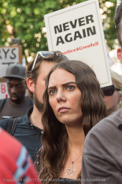
‘Never Again’.
But it will happen again unless we bring back proper fire safety inspections and provide
safe housing for those who live in social housing and if the government continue to make
profit take priority over the safety of people.
Grenfell
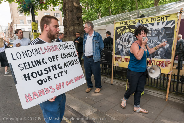
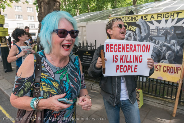
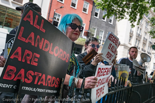
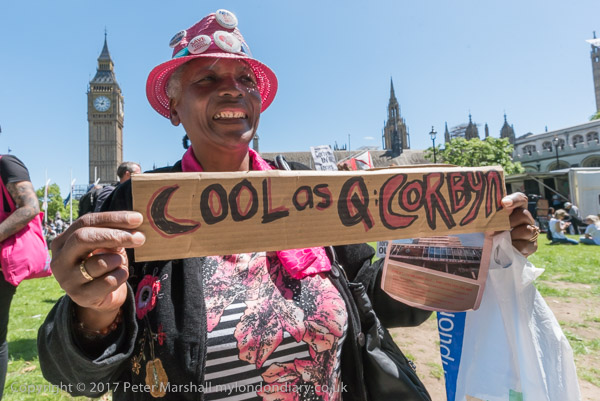
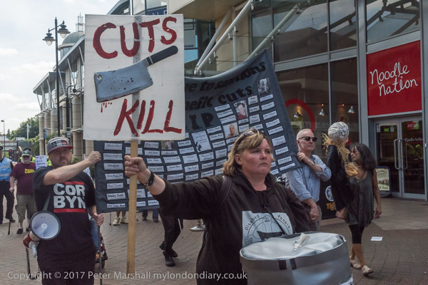
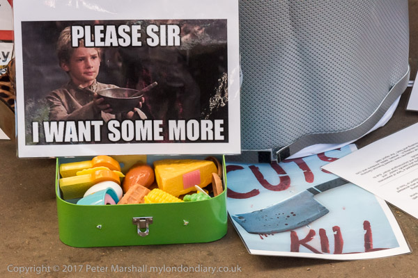
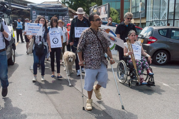
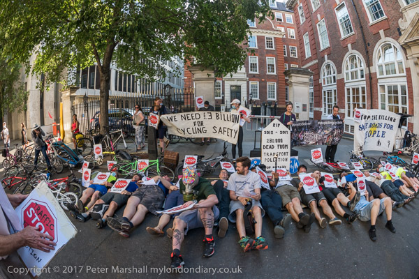
Justice for Grenfell Downing St protest
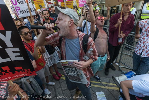
Justice for Grenfell Ministry protest