Almost certainly the worst thing about ‘diamond geezer‘ is his totally embarrassing name. You know he can’t be a Londoner, though he does seem to love London town, and certainly has one of the most visited blogs on the city. I pop in from time to time, though I’m not entirely a fan (too many pointless lists and twaddle for my taste.)
But, like me, he has visited most of London’s boroughs and taken photographs in a series featuring one at a time – and though he’s not always the greatest of photographers some of them at least do a decent job of showing you what things and places look like.
This August was one of his better months, as he took time off to walk the length of the River Lea, from it’s sources near Luton down to the Thames at Trinity Buoy Wharf, and giving some useful information about the route and some of the things you see on it. If you want to follow in his footsteps you’d also be wise to consult Lee Hatts who has both a great web site and a very useful book on the Lea Valley Walk with useful directions. The book is handier if you are actually going to make the journey yourself. Diamond Geezer’s (I’ll call him DG from now on, which sounds rather better) account is even more up to date, and certainly worth reading – and it’s good of him to give my own work in the area, London’s second river, a very nice mention.
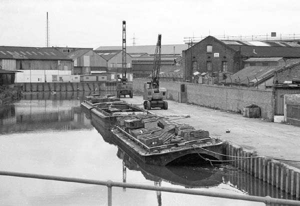
Pudding Mill River and River Lea, 2001
If you want to walk the whole thing, its fairly easy to divide into sensible chunks between railway stations at Leagrave, Harpenden, Hatfield and Hertford, south of which there are handy stations every few miles to Canning Town. Its also pretty easy on a bike, but any of you welded to an automobile will have a slightly more difficult time.
I first walked most of the route in the early 1980s, putting together an unsuccessful grant application to photograph the river and its surroundings. Although I did go back and do some more work even after I’d had my project rejected, I think it was a great shame I didn’t manage to get backing for more extensive work in the area. There are some pictures from those visits on my distinctly unfinished The Lea Valley site, and I’ve shown work from this on a few occasions.
It was an interesting time for the lower Lea Valley in particular, with the traditional industries fast disappearing. I started taking pictures just a little too late, in the last month or so of commercial barge traffic on the river – and it had all but disappeared.

In the 1990s I returned to parts of the area, in particular Stratford Marsh and the Bow Back Rivers, a truly fascinating area and at times it seemed almost remote enough from London to be another continent. Conservation work, mainly by volunteers, cleared waterways and footpaths and made it far more accessible in the later years of the decade. Most of the work I took then, including a number of panoramas, is only available in my files.

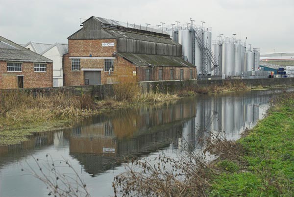
City Mill River, Stratford Marsh, 2006
I continued to photograph along the Lea Navigation and allied waterways in the early years of this century, and the work was given a new impetus with the announcement of the London 2012 Olympic bid. Unfortunately some clever sleight of hand stole the games from under the nose of Paris (in many ways a far more suitable site) and in the last couple of years much of what I photographed has been obliterated in one of the largest transformations London has ever seen.

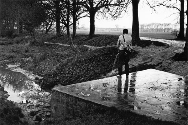
The source of the River Lea at Leagrave
As well as the usually quoted source at Leagrave (above), DG also goes the extra mile – or rather two – to Houghton Regis, where the stream emerges from under a sports pavillion. It isn’t clear why Houghton Brook should be regarded as a tributary of the Lea rather than the other way round.