The Channelsea is still visible below this end of the footbridge
It was I think in 1981 or 2 that I first came across the Channelsea River and walked along the path alongside it from Stratford High St to Three Mills. I was really a few years too late, because the section s outh of Stratford High St to Abbey Lane had been culverted around 20 years earlier, and further north there were only isolated sections above ground.
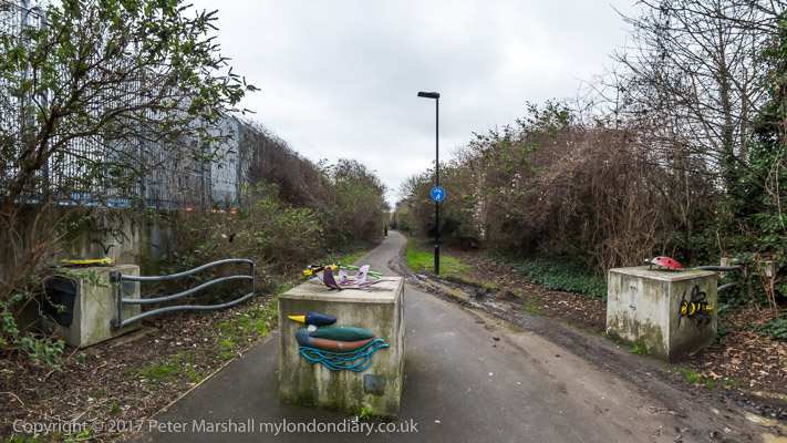
Channelsea Path
By then the river was a ghost of its former self. Back in the 19th century it had been one of three major streams of the River Lea, running parallel to the main river down through Temple Mills (the tidal limit of the Lea) where the Channelsea diverged from the Waterworks River which had left the main stream around a mile north on Hackney Marsh. There were several channels or ditches joining the streams probably some with sluices.
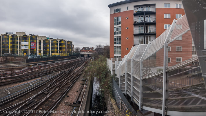
Channelsea River from footbridge, Stratford
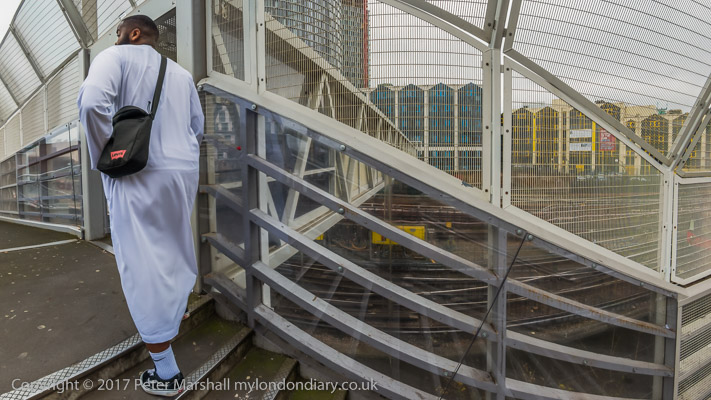
Close to where the railway from Hackney Wick crossed the river the Channelsea turned east, roughly following the old line of the railway to Stratford Station – where you can still see it as a ditch from the west end of the footbridge just south of the station.
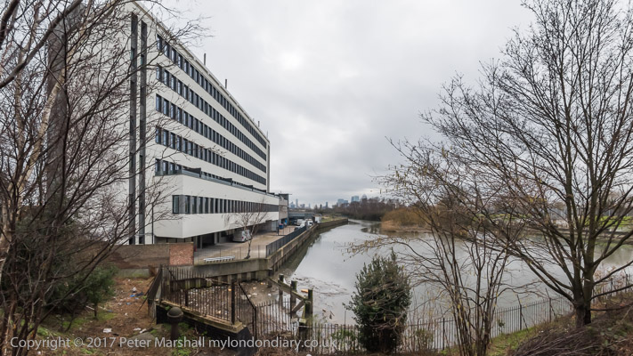
Channelsea River from Northern Outfall Sewer
Below Abbey Lane the Channelsea is wide and almost entirely tidal, with Channelsea island in the middle – and the channel to the west of the island is Abbey Creek. During heavy rainfall the sewers receive more water than they can cope with and overflow into the river here and used to flow upriver on the tide.
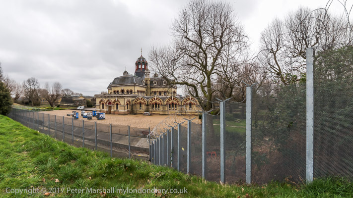
Abbey Mills sewage pumping station from Northern Outfall Sewer
The whole of the Bow Back Rivers was radically altered in the 1930s, following the 1930 River Lee Act. This enabled the Lee Conservancy Board and West Ham Borough Council to widen the Three Mills River and Waterworks River to 100ft to take flood water away, and to construct the Prescott Channel to take flood water from them into the Channelsea at Three Mills. The City Mill River was also made wider and deeper and provided with concrete banks as a 50ft wide navigable stream. It’s unclear whether there was any real intention for this to be widely used, or if its construction was mainly to provide employment for the many local unemployed.
Where the Channelsea goes under Stratford High St
The most recent and entirely dubious scheme was the construction of a new lock on the Prescott Channel, at a huge cost and under the pretence it would be used to bring in material and take out rubble from the Olympic site. Completed in 2009 it was used for a few photo-calls but the huge bulk of site material was moved in and out by lorry. It can be seen as a huge public subsidy to the developers whose blocks are growing on the upstream banks, protecting their properties and their future residents noses from the sometimes odiferous flood tides.
During the lock construction the riverside paths along the Channelsea were closed. The Long Wall path from the Northern Outfall Sewer (rebranded the Greenway in the 1990s but retaining its slightly sweet and disturbing sewage odour) to the lock reopened only around six years after completion, but that on to Three Mills from the Prescott Channel remains closed.
You can see more pictures from my walk at West Ham to Stratford – Channelsea River.
______________________________________________________
There are no adverts on this site and it receives no sponsorship, and I like to keep it that way. But it does take a considerable amount of my time and thought, and if you enjoy reading it, a small donation – perhaps the cost of a beer – would be appreciated.
My London Diary : Buildings of London : River Lea/Lee Valley : London’s Industrial Heritage
All photographs on this and my other sites, unless otherwise stated, are taken by and copyright of Peter Marshall, and are available for reproduction or can be bought as prints.
To order prints or reproduce images
________________________________________________________